 Draw on a Map
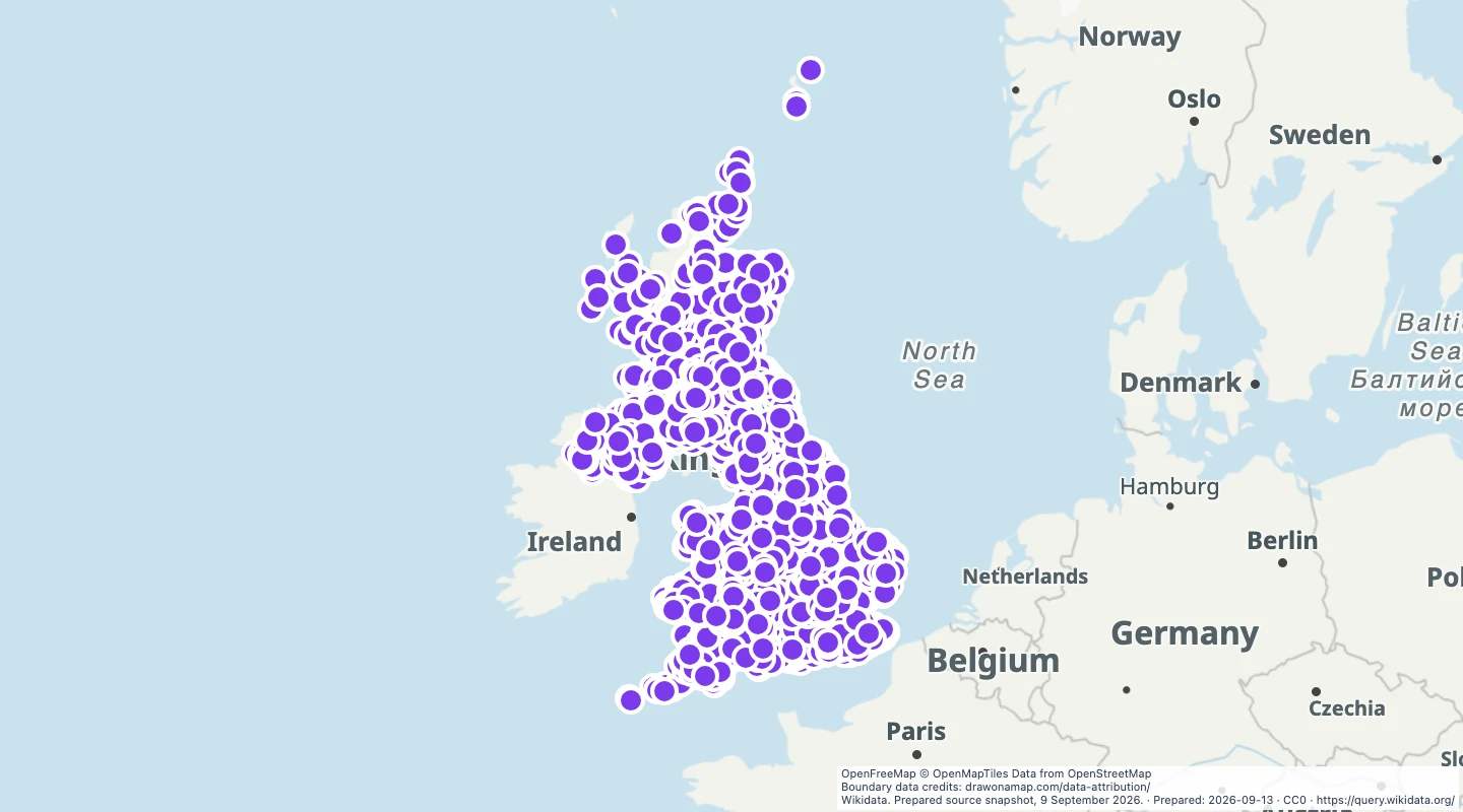
Castles in the United Kingdom map
Explore 3,807 castle and ruin locations in the United Kingdom. Edit the map, add notes, or download GeoJSON data from Wikidata.
Inspect and select records
Choose values to filter the preview. Open or download the matching records.
Loading records from the map preview…
View record table
The table shows up to eight fields. The download keeps all fields and the original geometry.
Explore individual records
Choose a record to open the map at its location.
Edinburgh Castle
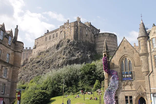
Photo credit
Edinburgh Castle from the Grassmarket by Stephencdickson. CC BY-SA 4.0. Own work
Windsor Castle
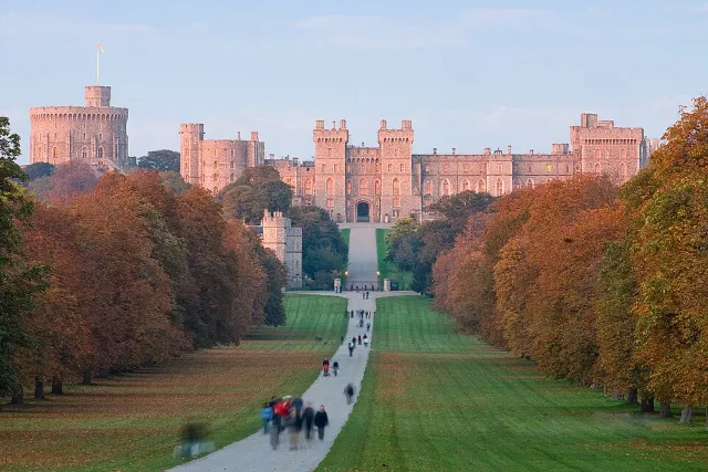
Photo credit
Windsor Castle at Sunset - Nov 2006 by Diliff. CC BY 2.5. Own work
Caernarfon Castle
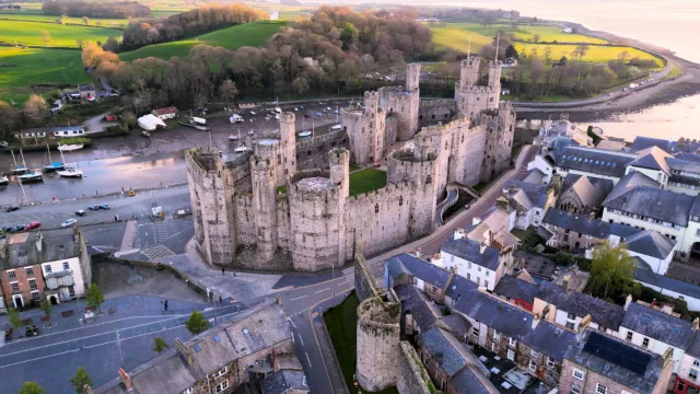
Photo credit
Castell Caernarfon yn y cyfnos yn 2023 - Castell Caernarfon, Gwynedd, Wales at Dusk - 2023 10 by Llywelyn2000. CC BY-SA 4.0. Own work
Bamburgh Castle
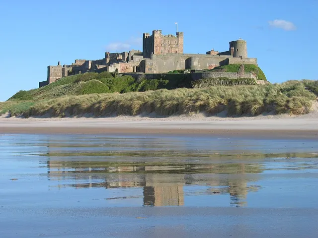
Photo credit
Bamburgh 2006 closeup by Michael Hanselmann - Quaoar10. CC BY-SA 3.0. Own work
Stirling Castle
Conwy Castle
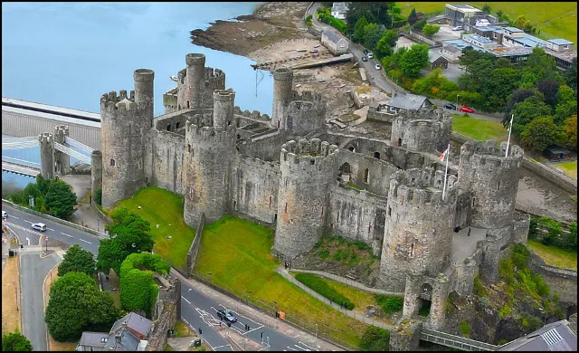
Photo credit
Conwy-Castle-0006 by Source: Llywelyn2000 Derivative: User:MathKnight. CC BY-SA 4.0. File:Awyrlun o Gastell Conwy - Aerial photograph of Castell Conwy, Conwy County Borough, Cymru (Wales)1.jpg


About this dataset
- This map contains 3,807 castle and ruin locations from Wikidata. Each point has a name and a link to its source record.
- This is a selection of recorded locations. Some castles may be missing or appear at more than one location.
- The data does not include opening hours, ticket prices, or visitor access. Check the site operator before a visit.
Source and licence
Licence: CC0
GeoJSON download details
The download includes all 3,807 features as points. Coordinates use longitude and latitude in WGS84.
The preparation date is when we prepared this dataset. Read the source notes for the dates covered by the data.
GeoJSON fields 3
name- Castle or ruin name recorded by Wikidata.
wikidata_url- Link to the Wikidata record.
color- Default marker colour for this map.