SQUARE- Square. Source field from Office of the Chief Technology Officer / DC GIS.
SUFFIX- Suffix. Source field from Office of the Chief Technology Officer / DC GIS.
RES- Reservation. Source field from Office of the Chief Technology Officer / DC GIS.
PAR- Parcel. Source field from Office of the Chief Technology Officer / DC GIS.
LOT- Lot. Source field from Office of the Chief Technology Officer / DC GIS.
SSL- Square, Suffix, Lot. Source field from Office of the Chief Technology Officer / DC GIS.
NSSL- New Square, Suffix, Lot. Source field from Office of the Chief Technology Officer / DC GIS.
CONDO_REGIME- Condo Regime. Source field from Office of the Chief Technology Officer / DC GIS.
AREA_NEW- Area New. Source field from Office of the Chief Technology Officer / DC GIS.
UBID- Unique Building Identifier. Source field from Office of the Chief Technology Officer / DC GIS.
NUBID- New Unique Building Identifier. Source field from Office of the Chief Technology Officer / DC GIS.
LINK_TYPE- Link Type. Source field from Office of the Chief Technology Officer / DC GIS.
LINK_TYPE_DESCRIPTION- Link Type Description. Source field from Office of the Chief Technology Officer / DC GIS.
WARD- Ward. Source field from Office of the Chief Technology Officer / DC GIS.
CAPTUREACTION- Capture Action. Source field from Office of the Chief Technology Officer / DC GIS.
DESCRIPTION- Description. Source field from Office of the Chief Technology Officer / DC GIS.
CAPTUREYEAR- Capture Year. Source field from Office of the Chief Technology Officer / DC GIS.
CENTROIDX- Centroid X. Source field from Office of the Chief Technology Officer / DC GIS.
CENTROIDY- Centroid Y. Source field from Office of the Chief Technology Officer / DC GIS.
MINLAT- Minimum Latitude. Source field from Office of the Chief Technology Officer / DC GIS.
MAXLAT- Maximum Latitude. Source field from Office of the Chief Technology Officer / DC GIS.
MINLONG- Minimum Longitude. Source field from Office of the Chief Technology Officer / DC GIS.
MAXLONG- Maxium Longitude. Source field from Office of the Chief Technology Officer / DC GIS.
GIS_ID- GIS Identifier. Source field from Office of the Chief Technology Officer / DC GIS.
Shape__Area- SHAPE.AREA. Source field from Office of the Chief Technology Officer / DC GIS.
Shape__Length- SHAPE.LEN. Source field from Office of the Chief Technology Officer / DC GIS.
GLOBALID- GLOBALID. Source field from Office of the Chief Technology Officer / DC GIS.
CREATOR- CREATOR. Source field from Office of the Chief Technology Officer / DC GIS.
CREATED- CREATED. Source field from Office of the Chief Technology Officer / DC GIS.
EDITOR- EDITOR. Source field from Office of the Chief Technology Officer / DC GIS.
EDITED- EDITED. Source field from Office of the Chief Technology Officer / DC GIS.
OBJECTID- OBJECTID. Source field from Office of the Chief Technology Officer / DC GIS.
name- Display name copied from the source name field.
 Draw on a Map
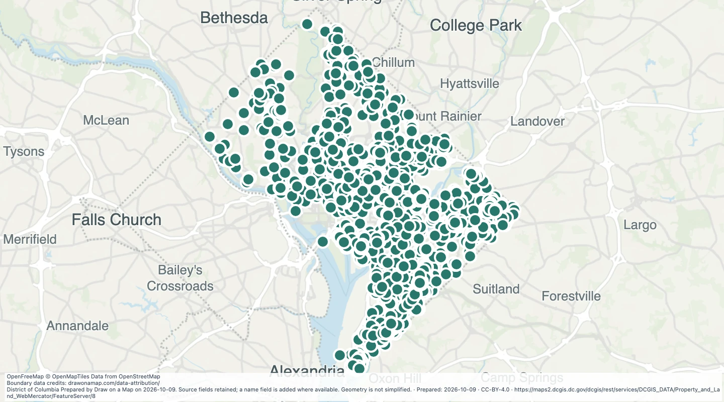 Map features: 5,051
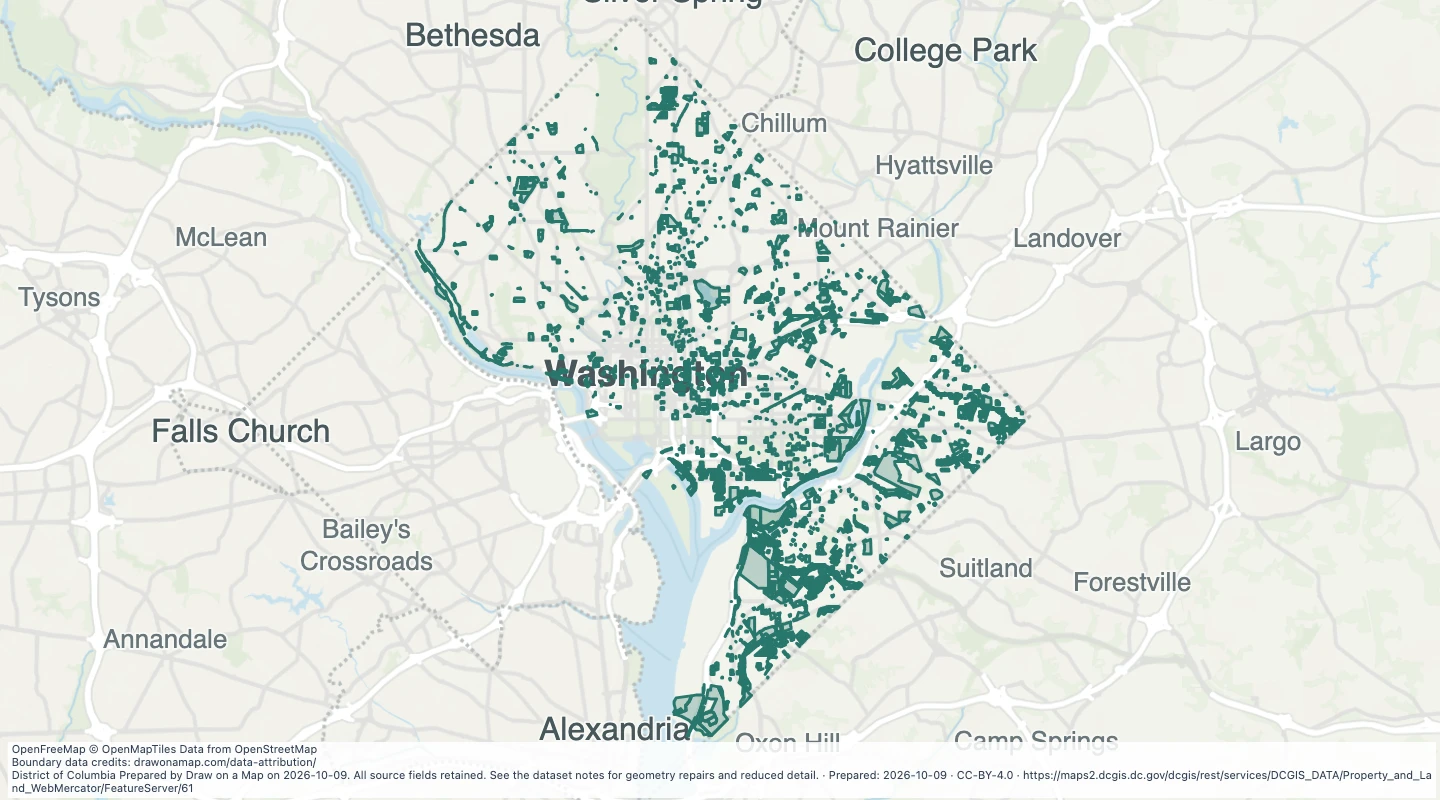 Map features: 4,476
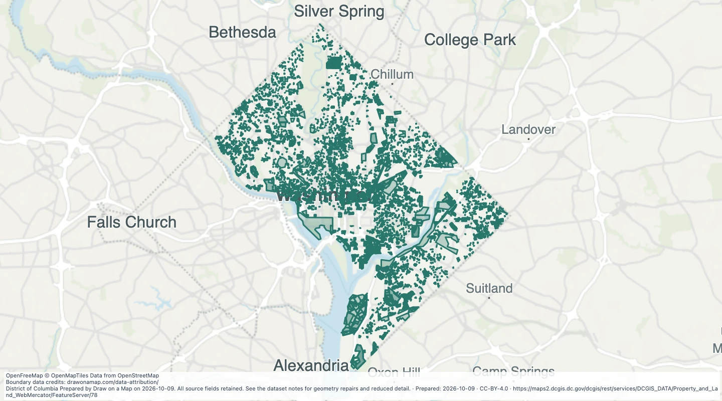 Map features: 23,886