OBJECTID- OBJECTID. Source field from City of Seattle.
VILLNUMB- VILLNUMB. Source field from City of Seattle.
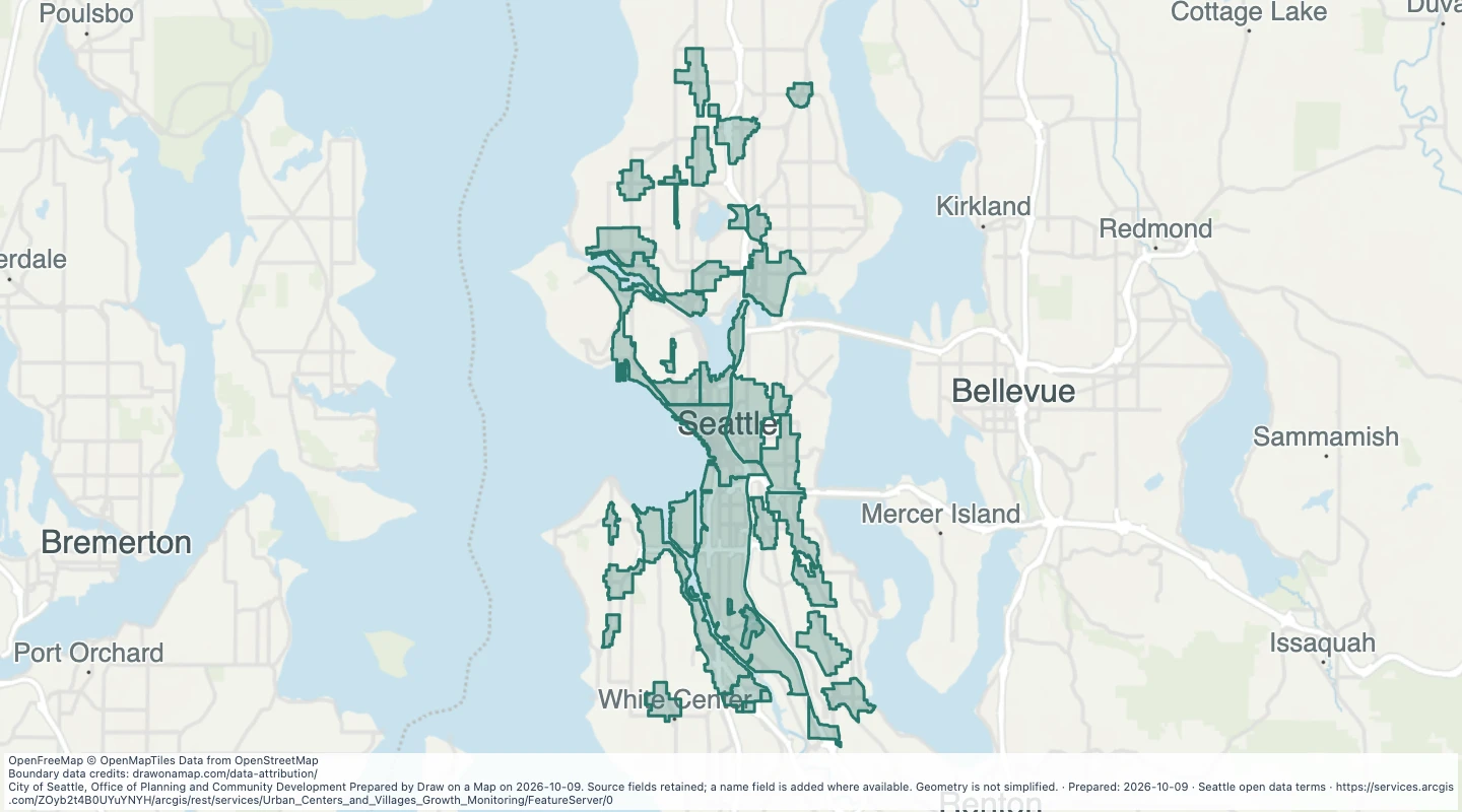
UV_NAME- Urban Village Name. Source field from City of Seattle.
UV_TYPE- Urban Village Type Code. Source field from City of Seattle.
TYPE_NAME- Urban Village Type Name. Source field from City of Seattle.
ACRES- Land Acres. Source field from City of Seattle.
UC_INIT- Urban Center ID. Source field from City of Seattle.
CENVILLNO- Urban Center Village ID. Source field from City of Seattle.
SORT- SORT. Source field from City of Seattle.
GROWTH_CATEGORY- Comp Plan Growth Category. Source field from City of Seattle.
EQUITY_CATEGORY- Equity Analysis Category. Source field from City of Seattle.
TRANSIT_CATEGORY- Comp Plan Transit Category. Source field from City of Seattle.
HU_CAPACITY_2015- Housing Unit Capacity 2015. Source field from City of Seattle.
HU_BASE_2015- Housing Units year-end 2015. Source field from City of Seattle.
HU_TARGET_15_35- Housing Unit Growth Estimate 2015-2035. Source field from City of Seattle.
HU_EXPECTED_2035- Housing Units Expected 2035. Source field from City of Seattle.
HU_BUILT_SINCE_15- Housing Units Built Since 2015. Source field from City of Seattle.
HU_ISSUED- Housing Units Currently Issued. Source field from City of Seattle.
REMAIN_HU_TARGET- Remaining Housing Unit Growth Estimate. Source field from City of Seattle.
REMAIN_HU_TARGET_WITH_ISSUED- Remaining Housing Unit Growth Estimate with Issued Units. Source field from City of Seattle.
JOB_CAPACITY_2015- Employment Capacity 2015. Source field from City of Seattle.
JOB_BASE_2015- Employment 2015. Source field from City of Seattle.
JOB_TARGET_15_35- Employment Growth Estimate 2015-2035. Source field from City of Seattle.
JOB_EXPECTED_2035- Employment Expected 2035. Source field from City of Seattle.
JOB_SINCE_15- Employment Change Since 2015. Source field from City of Seattle.
REMAIN_JOB_TARGET- Remaining Employment Growth Estimate. Source field from City of Seattle.
UVDA- Urban Village Demographic Area. Source field from City of Seattle.
COUNCIL_DISTRICT- Council District. Source field from City of Seattle.
Shape__Area- Shape__Area. Source field from City of Seattle.
Shape__Length- Shape__Length. Source field from City of Seattle.
name- Display name copied from the source name field.
 Draw on a Map
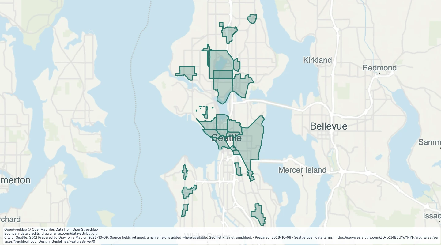 Map features: 25