 OpenStreetMap contributors. Derived database under ODbL 1.0.
About this dataset
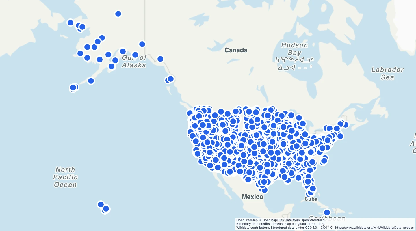
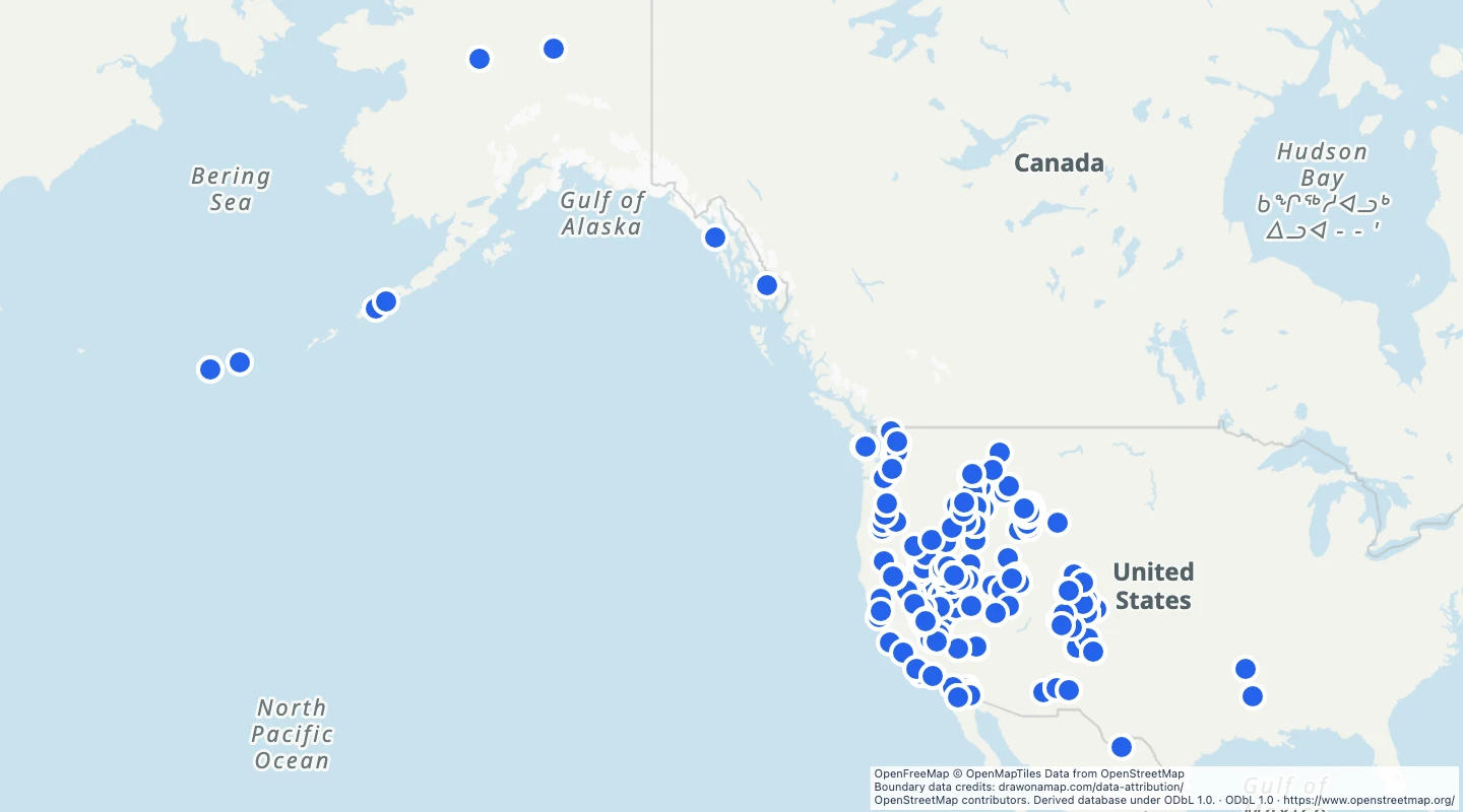
- This map includes OpenStreetMap objects tagged as natural hot springs within the country boundary.
- Nodes use their source coordinates. Ways and relations use their source bounding-box centre. Objects without names have an identifier label.
- Use the points to compare recorded springs and add your own site notes.
- The source snapshot is 2026-09-14T22:41:01Z. The extract was prepared on 15 September 2026.
- The tag describes a natural spring. It does not confirm safe bathing, public access, or a working visitor facility.
- OpenStreetMap coverage is incomplete. Separate objects can refer to parts of the same spring area.
GeoJSON download details
The download includes all 2,543 features as points. Coordinates use longitude and latitude in WGS84.
The preparation date is when we prepared this dataset. Read the source notes for the dates covered by the data.
GeoJSON fields 5
name- Source name, or an unnamed-spring label with its OSM identifier.
osm_id- OpenStreetMap object type and identifier.
source_url- OpenStreetMap source object.
access- Access tag, where mapped. Absence does not mean public access.
temperature- Source temperature tag, where mapped. Units and observation dates may be absent.
 Draw on a Map
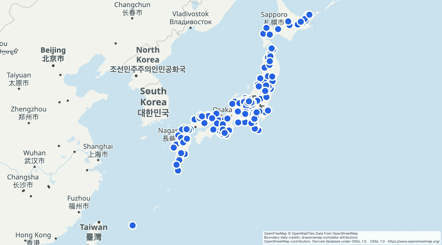 270 map features