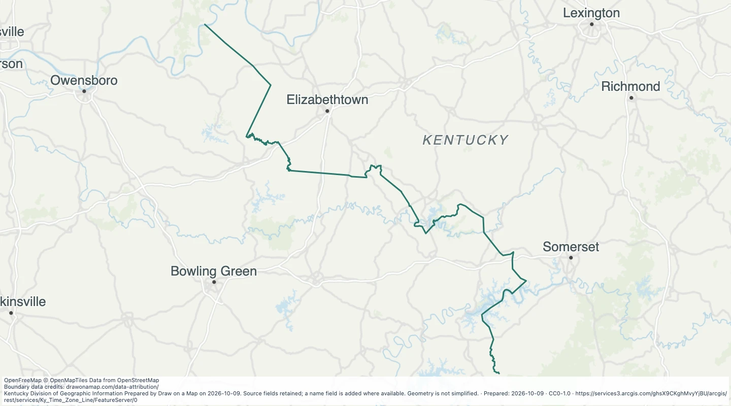
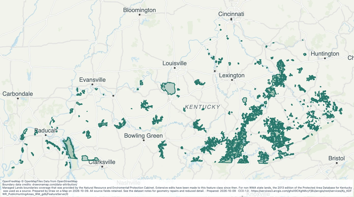
OBJECTID- OBJECTID. Source field from Division of Geographic Information.
title- title. Source field from Division of Geographic Information.
summary- summary. Source field from Division of Geographic Information.
weblink- weblink. Source field from Division of Geographic Information.
local_time- local_time. Source field from Division of Geographic Information.
network- network. Source field from Division of Geographic Information.
stid- stid. Source field from Division of Geographic Information.
location- location. Source field from Division of Geographic Information.
county- county. Source field from Division of Geographic Information.
state- state. Source field from Division of Geographic Information.
latitude- latitude. Source field from Division of Geographic Information.
longitude- longitude. Source field from Division of Geographic Information.
elevation- elevation. Source field from Division of Geographic Information.
observation_group_name- observation_group_name. Source field from Division of Geographic Information.
utme- utme. Source field from Division of Geographic Information.
utme_awips- utme_awips. Source field from Division of Geographic Information.
ltme- ltme. Source field from Division of Geographic Information.
stme- stme. Source field from Division of Geographic Information.
air_temperature- air_temperature. Source field from Division of Geographic Information.
relative_humidity- relative_humidity. Source field from Division of Geographic Information.
dewpoint- dewpoint. Source field from Division of Geographic Information.
wind_speed- wind_speed. Source field from Division of Geographic Information.
wind_direction- wind_direction. Source field from Division of Geographic Information.
peak_wind- peak_wind. Source field from Division of Geographic Information.
solar_radiation- solar_radiation. Source field from Division of Geographic Information.
precipitation_today- precipitation_today. Source field from Division of Geographic Information.
rotation- rotation. Source field from Division of Geographic Information.
filename- filename. Source field from Division of Geographic Information.
air_temp_num- air_temp_num. Source field from Division of Geographic Information.
dewpoint_num- dewpoint_num. Source field from Division of Geographic Information.
site_camera- site_camera. Source field from Division of Geographic Information.
name- Display name copied from the source name field.
 Draw on a Map
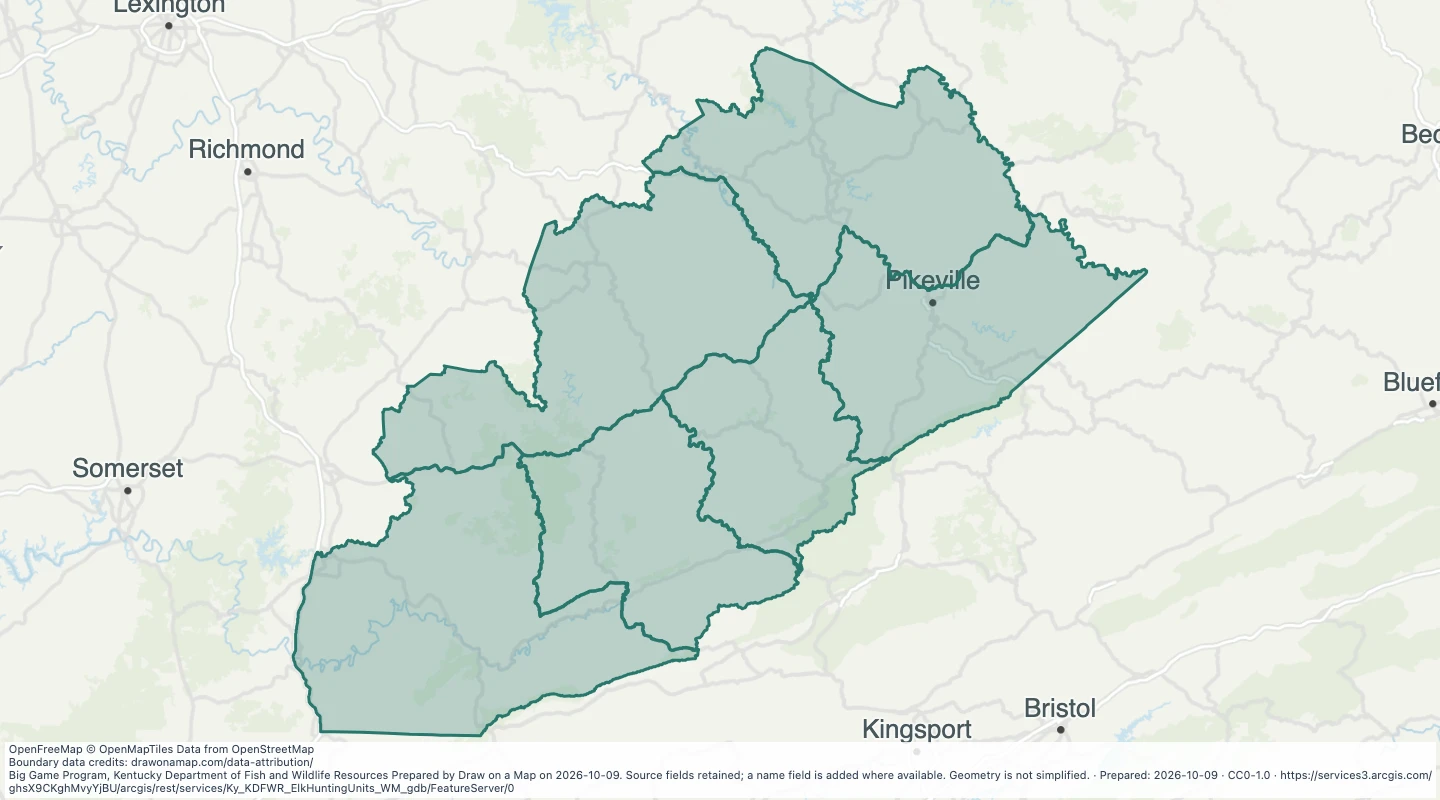 Map features: 6