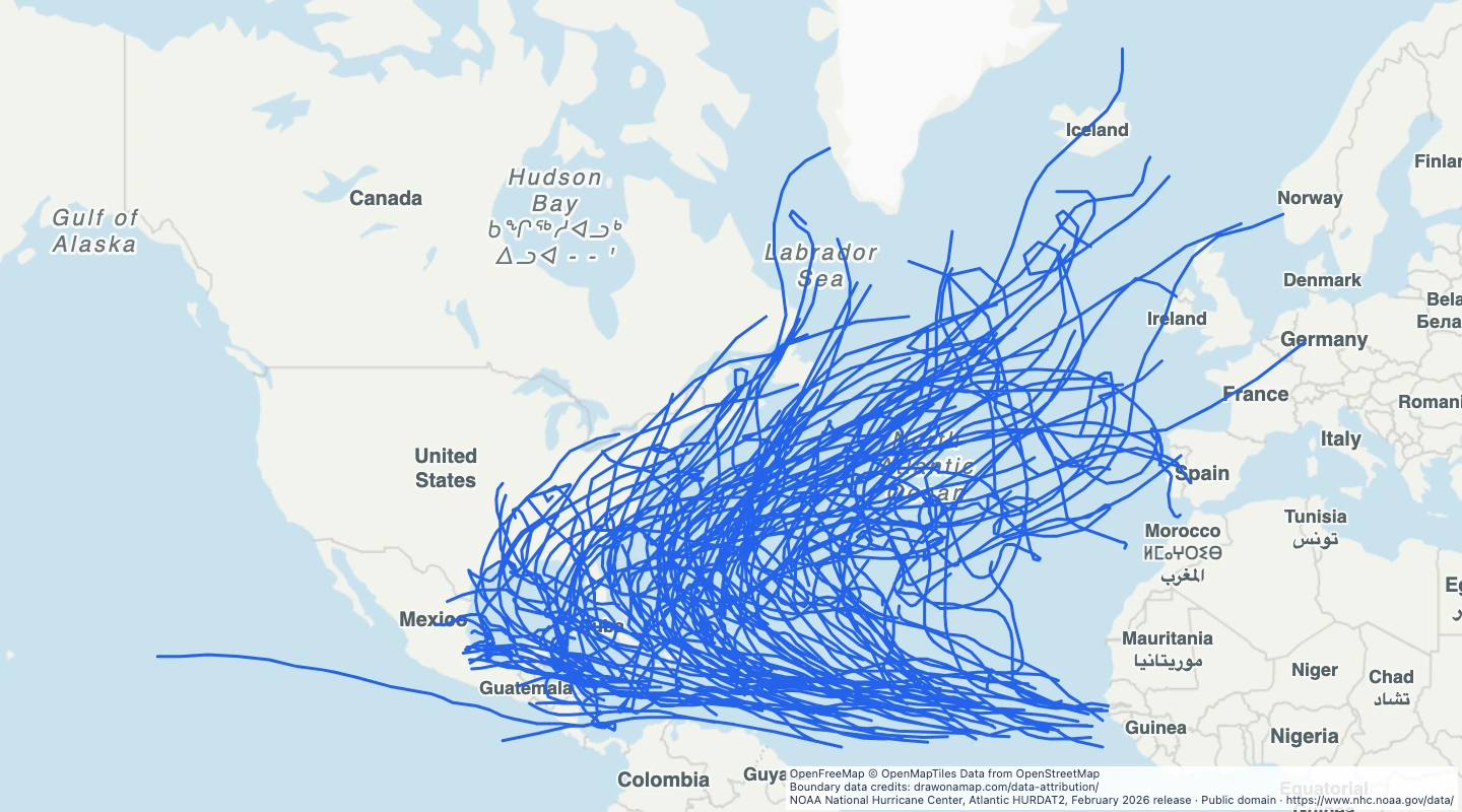
 NOAA National Hurricane Center, Atlantic HURDAT2, February 2026 release
About this dataset
- This view selects storms with at least one hurricane status record in HURDAT2.
- Each line joins source observations for the whole storm, including times before and after hurricane strength.
- Use season and maximum wind speed to compare the selected tracks.
- Lines show storm centre positions. They do not show the width of damaging winds or flooded areas.
- The February 2026 source release includes the 2025 season. This selection was prepared on 15 September 2026.
GeoJSON download details
The download includes all 125 features as lines. Coordinates use longitude and latitude in WGS84.
The preparation date is when we prepared this dataset. Read the source notes for the dates covered by the data.
GeoJSON fields 7
name- Storm name and season.
storm_id- NHC storm identifier.
season- Storm season year.
max_wind_knots- Maximum reported wind speed in knots.
start_utc- First source time in YYYYMMDD HHMM UTC.
end_utc- Last source time in YYYYMMDD HHMM UTC.
source_url- NHC source documentation.
 Draw on a Map
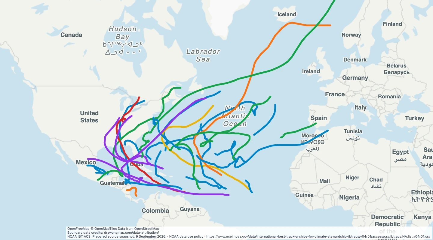 31 map features