OBJECTID- GIS Object ID. Source field from MD iMAP.
ID- ID. Source field from MD iMAP.
NAV_UNIT_I- Facility ID. Source field from MD iMAP.
UNLOCODE- United Nations Location Code. Source field from MD iMAP.
NAV_UNIT_N- Name of Facility. Source field from MD iMAP.
LOCATION_D- Location Description. Source field from MD iMAP.
FACILITY_T- Facility Type. Source field from MD iMAP.
STREET_ADD- Street Address. Source field from MD iMAP.
CITY_OR_TO- City or Town. Source field from MD iMAP.
STATE_POST- State Postal Abbreviation. Source field from MD iMAP.
ZIPCODE- ZIP Code. Source field from MD iMAP.
COUNTY_NAM- County Name. Source field from MD iMAP.
CONGRESS- Congress Number. Source field from MD iMAP.
CONGRESS_F- Congressional District FIPS Code. Source field from MD iMAP.
WTWY_NAME- Waterway Name. Source field from MD iMAP.
PORT_NAME- Port Name. Source field from MD iMAP.
MILE- Waterway Mile of Wharf Location. Source field from MD iMAP.
LATITUDE1- Latitude. Source field from MD iMAP.
LONGITUDE1- Longitude. Source field from MD iMAP.
OPERATORS- Current Operators. Source field from MD iMAP.
OWNERS- Current Owners. Source field from MD iMAP.
HIGHWAY_NO- Surface Road Connections. Source field from MD iMAP.
RAILWAY_NO- Railway Connections. Source field from MD iMAP.
DOCK- Dock Code. Source field from MD iMAP.
COMMODITIE- Commodities Handled. Source field from MD iMAP.
CONSTRUCTI- Construction Type. Source field from MD iMAP.
MECHANICAL- Equipment Available. Source field from MD iMAP.
REMARKS- Remarks and Description. Source field from MD iMAP.
VERTICAL_D- Depth Height Datum Used. Source field from MD iMAP.
DEPTH_MIN- Minimum Depth. Source field from MD iMAP.
DEPTH_MAX- Maximum Depth. Source field from MD iMAP.
BERTHING_L- Largest Berth. Source field from MD iMAP.
BERTHING_T- Total Berthing Space. Source field from MD iMAP.
DECK_HEIGH- Minimum Deck Height. Source field from MD iMAP.
DECK_HEIG1- Maximum Deck Height. Source field from MD iMAP.
SERVICE_IN- Date Facility Started Service. Source field from MD iMAP.
SERVICE_TE- Date Facility Stopped Service. Source field from MD iMAP.
STFIPS- State FIPS Code. Source field from MD iMAP.
CTFIPS- County FIPS Code. Source field from MD iMAP.
BANK- Bank of River Location. Source field from MD iMAP.
LOCATION- Location Code. Source field from MD iMAP.
PURPOSE- Purpose of Wharf. Source field from MD iMAP.
name- Display name copied from the source name field.
 Draw on a Map
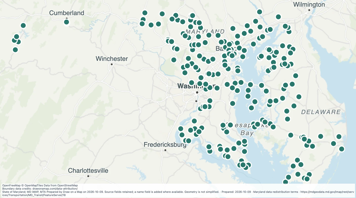 Map features: 217