Skip to content

Urban Growth Boundaries: UGB 2025 — Oregon

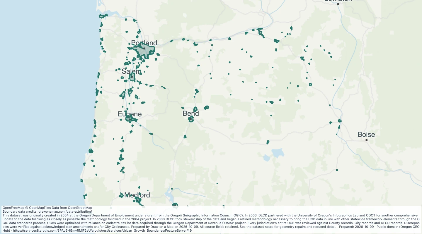
Explore 217 source records for Urban Growth Boundaries: UGB 2025 — Oregon. View the map or download the GeoJSON snapshot.

This dataset was originally created in 2004 at the Oregon Department of Employment under a grant from the Oregon Geographic Information Council (OGIC). In 2006, DLCD partnered with the University of Oregon's Infographics Lab and ODOT for another comprehensive update to the data following as closely as possible the methodology followed in the 2004 project. In 2008 DLCD took stewardship of the data and began a refined methodology necessary to bring the UGB data in line with other statewide framework elements through the OGIC data standards process. UGBs were optimized with reliance on cadastral tax lot data acquired through the Oregon Department of Revenue ORMAP project. Every jurisdiction's entire UGB was reviewed against County records, City records and DLCD records. Discrepancies were verified against acknowledged plan amendments and/or City Ordinances. Prepared by Draw on a Map on 2026-10-09. Source fields retained; a name field is added where available. Geometry is not simplified.

Inspect and select records

Choose values to filter the preview. Open or download the matching records.

Loading records from the map preview…

Open selected records
View record table

The table shows up to eight fields. The download keeps all fields and the original geometry.

About this dataset

  • Snapshot prepared on 2026-10-09. This is not a live service. The source update date can be earlier.
  • All 217 records returned by the selected layer are retained. Count and object IDs were checked before download. The selected layer is not a complete inventory of all places in the region.
  • Source coordinates are transformed by the service to WGS84; altitude and measure values are omitted. Geometry is not simplified. Source fields are retained; a display name is added where a source name is available.
  • Original source metadata and reuse evidence: https://drawonamap.com/library/sources/government-2026-10/urban-growth-boundaries-ugb-2025-oregon-821a1948.json
  • Preserve the dataset limitations and disclaimers.

Source and licence

Geospatial Enterprise Operations

Licence: Public domain (Oregon GEOHub)

GeoJSON download details

The download includes all 217 features as area groups, areas. Coordinates use longitude and latitude in WGS84.

The preparation date is when we prepared this dataset. Read the source notes for the dates covered by the data.

GeoJSON fields 15
fid
fid. Source field from Geospatial Enterprise Operations.
instName
instName. Source field from Geospatial Enterprise Operations.
Shape_Length
Shape_Length. Source field from Geospatial Enterprise Operations.
Shape_Area
Shape_Area. Source field from Geospatial Enterprise Operations.
Parts
Parts. Source field from Geospatial Enterprise Operations.
effDate
effDate. Source field from Geospatial Enterprise Operations.
instCode
instCode. Source field from Geospatial Enterprise Operations.
codeRef
codeRef. Source field from Geospatial Enterprise Operations.
unitOwner
unitOwner. Source field from Geospatial Enterprise Operations.
unitID
unitID. Source field from Geospatial Enterprise Operations.
descriptn
descriptn. Source field from Geospatial Enterprise Operations.
cSteward
cSteward. Source field from Geospatial Enterprise Operations.
Shape__Area
Shape__Area. Source field from Geospatial Enterprise Operations.
Shape__Length
Shape__Length. Source field from Geospatial Enterprise Operations.
name
Display name copied from the source name field.