 GeoNames, CC BY 4.0. Prepared 15 September 2026.
About this dataset
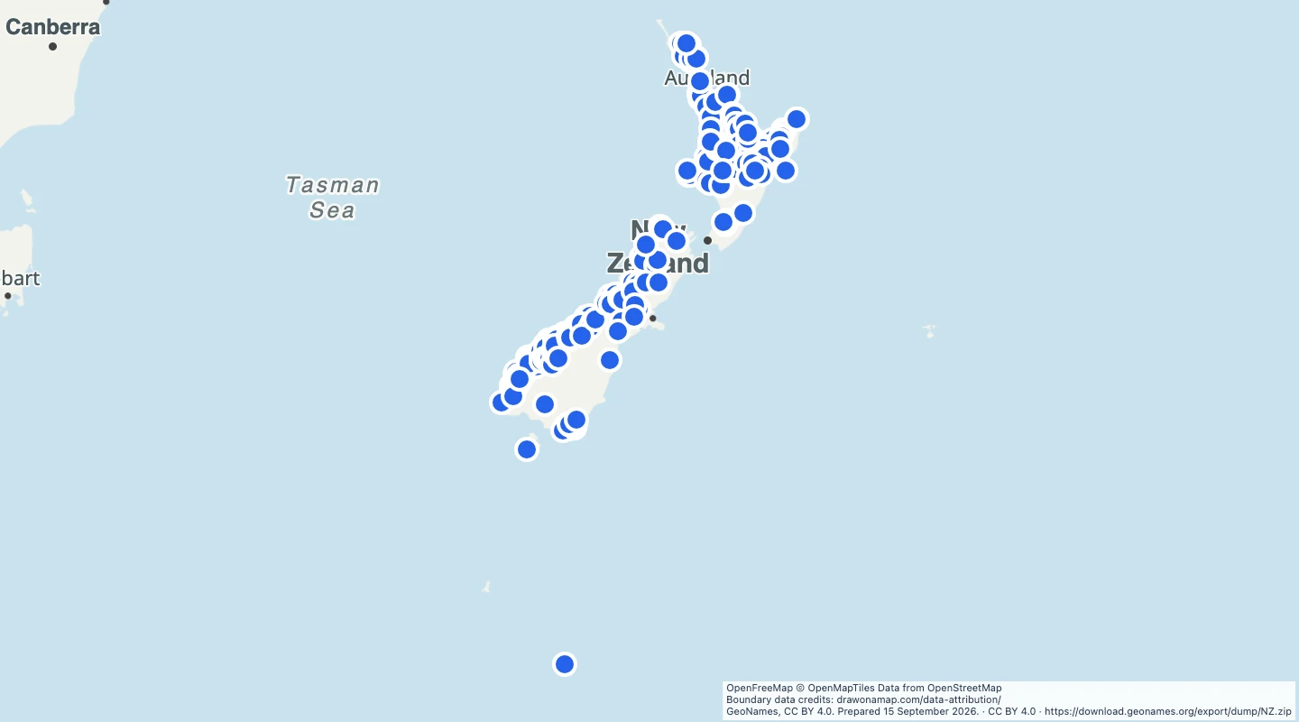
- This map contains 288 GeoNames records for New Zealand.
- FLLS identifies waterfalls. FLLSX identifies a section of a waterfall. Distinct source records can share a name.
- Use the points to compare locations, group places, or add route notes.
- The source was downloaded on 2026-09-15. Each record retains its source modification date.
- GeoNames coverage is incomplete. A point does not establish public access or current visitor conditions.
GeoJSON download details
The download includes all 288 features as points. Coordinates use longitude and latitude in WGS84.
The preparation date is when we prepared this dataset. Read the source notes for the dates covered by the data.
GeoJSON fields 6
name- Place name in GeoNames.
geonames_id- Stable GeoNames record identifier.
country- Two-letter country code.
feature_code- GeoNames place classification code.
source_url- Source record with further details.
modified- Last change date of the GeoNames record, not the population observation date.
 Draw on a Map
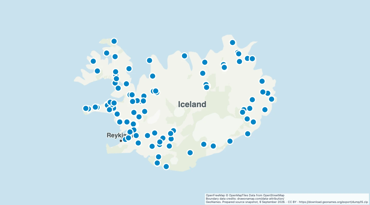 114 map features