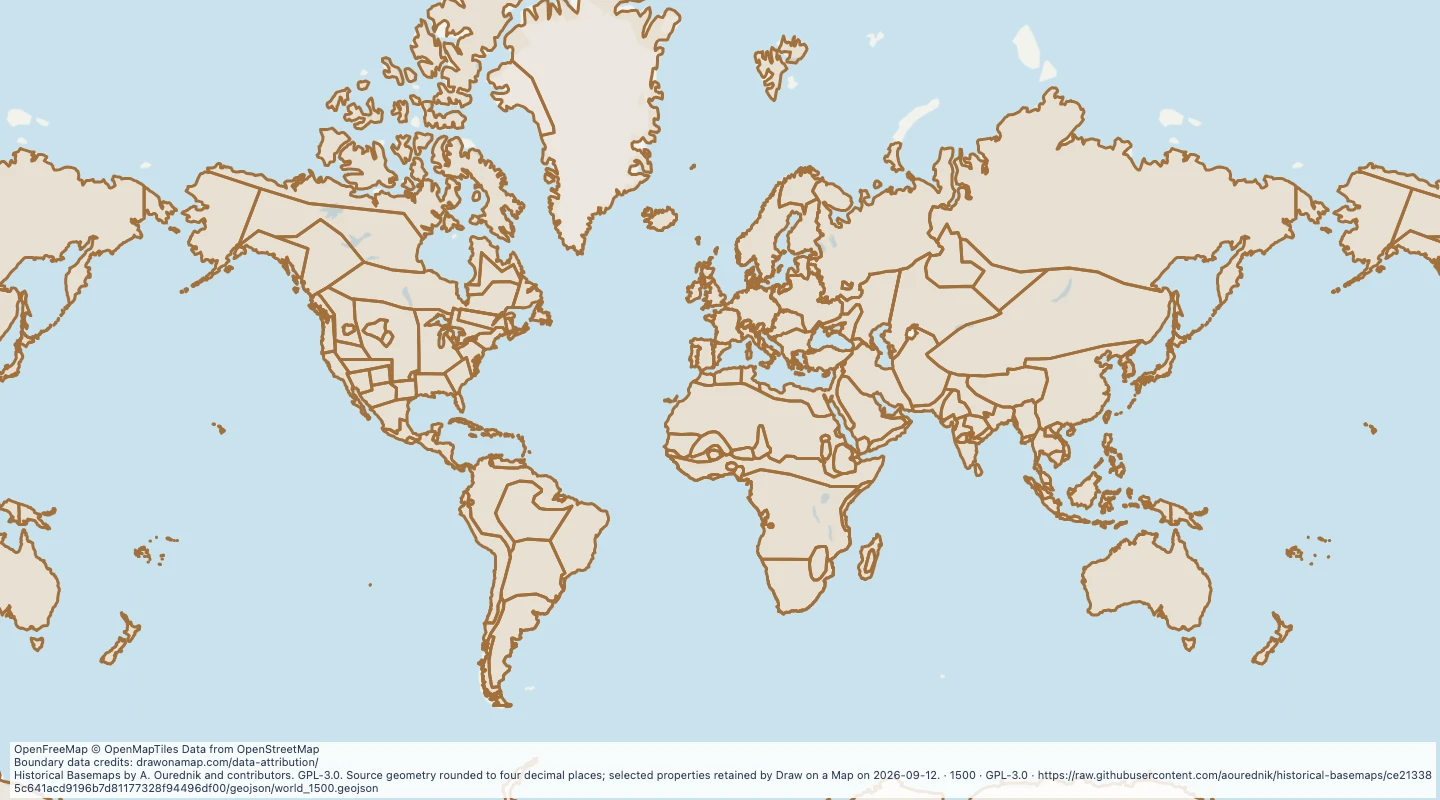
Explore a historical reconstruction of countries and cultural regions in 1500. Add colours and notes to compare areas and tell a historical story.
Historical Basemaps by A. Ourednik and contributors. GPL-3.0. Source geometry rounded to four decimal places; selected properties retained by Draw on a Map on 2026-09-12.
About this historical map
Borders are reconstructed for the year shown and may be approximate, disputed, or incomplete.
Cultural regions can overlap. Areas without names may still have been inhabited.
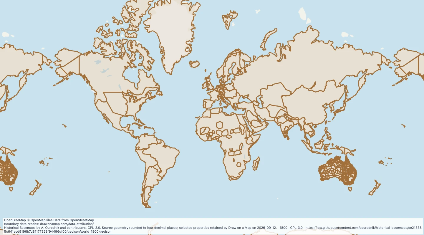
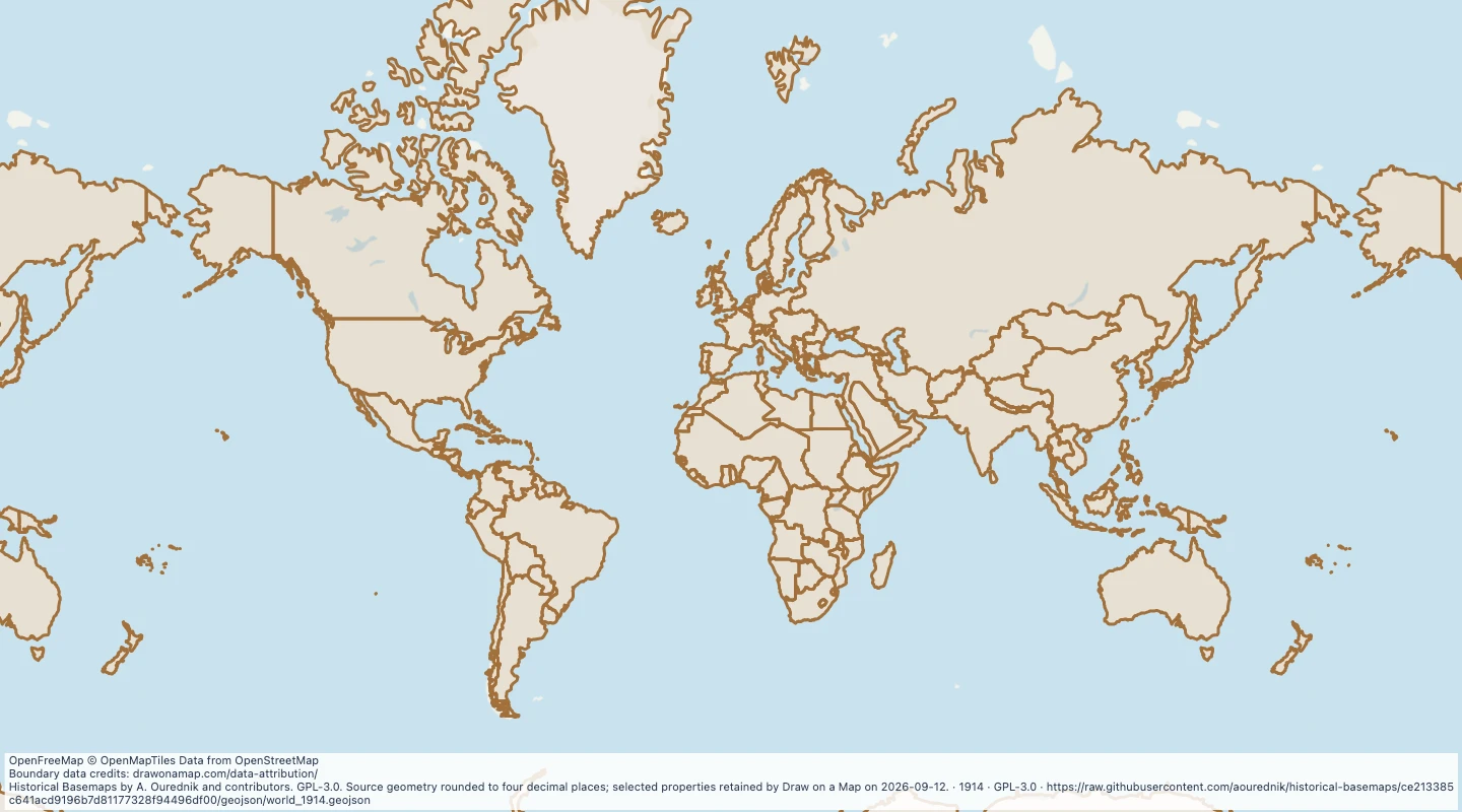
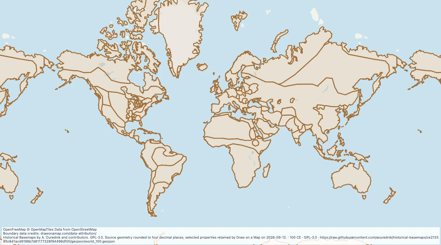
The background shows present-day coastlines and terrain. The 2D map has no modern labels or borders.
 Draw on a Map
 440 map features