PROJECT_NAME- Project Name. Source field from Office of the Chief Technology Officer / DC GIS.
ADDRESS- Address. Source field from Office of the Chief Technology Officer / DC GIS.
FULLADDRESS- Full Address. Source field from Office of the Chief Technology Officer / DC GIS.
STATUS_PUBLIC- Status Public. Source field from Office of the Chief Technology Officer / DC GIS.
AGENCY_CALCULATED- Agency Calculated. Source field from Office of the Chief Technology Officer / DC GIS.
TOTAL_AFFORDABLE_UNITS- Total Affordable Units. Source field from Office of the Chief Technology Officer / DC GIS.
AFFORDABLE_UNITS_AT_0_30_AMI- Affordable Units at 0-30 AMI. Source field from Office of the Chief Technology Officer / DC GIS.
AFFORDABLE_UNITS_AT_31_50_AMI- Affordable Units at 31-50 AMI. Source field from Office of the Chief Technology Officer / DC GIS.
AFFORDABLE_UNITS_AT_51_60_AMI- Affordable Units at 51-60 AMI. Source field from Office of the Chief Technology Officer / DC GIS.
AFFORDABLE_UNITS_AT_61_80_AMI- Affordable Units at 61-80 AMI. Source field from Office of the Chief Technology Officer / DC GIS.
AFFORDABLE_UNITS_AT_81_AMI- Affordable Units at 81 Plus AMI. Source field from Office of the Chief Technology Officer / DC GIS.
CASE_ID- Case Identifier. Source field from Office of the Chief Technology Officer / DC GIS.
MAR_WARD- Ward. Source field from Office of the Chief Technology Officer / DC GIS.
AFFORDABLE_UNITS_PRESERVED- Affordable Units Preserved. Source field from Office of the Chief Technology Officer / DC GIS.
UNITS_NEWLY_COVENANT_EXISTING- Units Newly Covenant Existing. Source field from Office of the Chief Technology Officer / DC GIS.
AFFORDABLE_UNITS_PRODUCTION- Affordable Units Production. Source field from Office of the Chief Technology Officer / DC GIS.
UNITS_NET_NEW- Units Net New. Source field from Office of the Chief Technology Officer / DC GIS.
UNITS_MARKET- Units Market. Source field from Office of the Chief Technology Officer / DC GIS.
UNITS_TOTAL- Units Total. Source field from Office of the Chief Technology Officer / DC GIS.
CONSTRUCTION_END_DATE- Construction End Date. Source field from Office of the Chief Technology Officer / DC GIS.
PLANNING_AREA- Planning Area. Source field from Office of the Chief Technology Officer / DC GIS.
MAR_ID- Master Address Repository Identifier. Source field from Office of the Chief Technology Officer / DC GIS.
XCOORD- X Coordinate. Source field from Office of the Chief Technology Officer / DC GIS.
YCOORD- Y Coordinate. Source field from Office of the Chief Technology Officer / DC GIS.
LATITUDE- Latitude. Source field from Office of the Chief Technology Officer / DC GIS.
LONGITUDE- Longitude. Source field from Office of the Chief Technology Officer / DC GIS.
GIS_LAST_MOD_DTTM- GIS Last Modified Date. Source field from Office of the Chief Technology Officer / DC GIS.
OBJECTID- OBJECTID. Source field from Office of the Chief Technology Officer / DC GIS.
name- Display name copied from the source name field.
 Draw on a Map
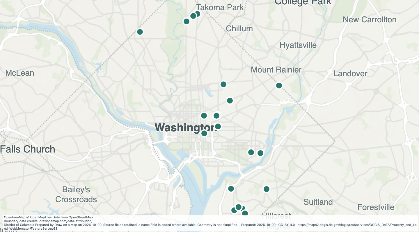 Map features: 21
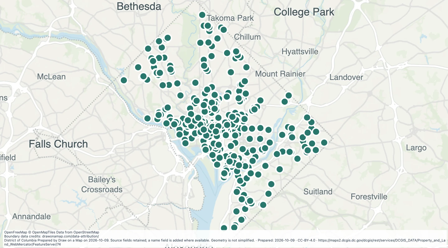 Map features: 783
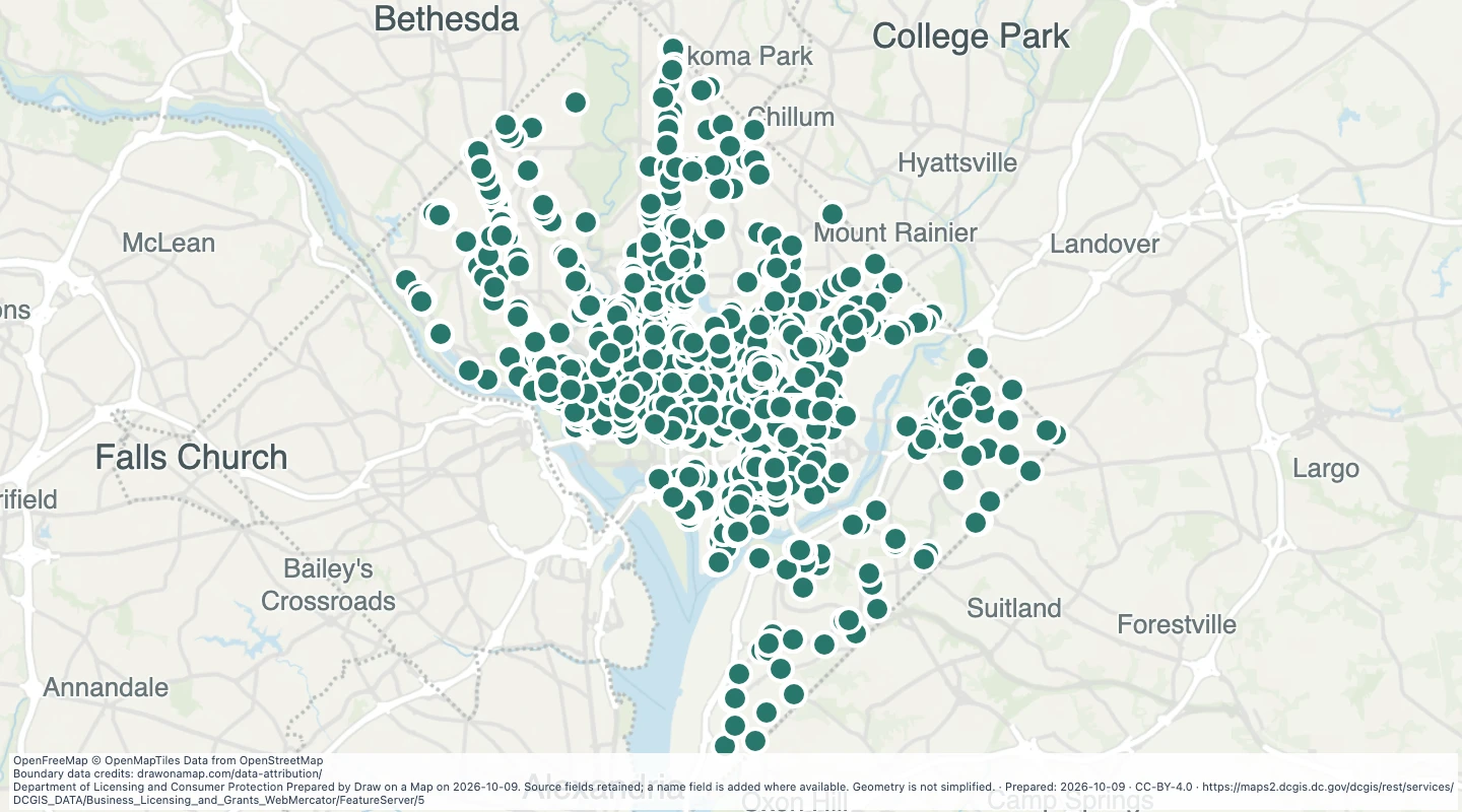 Map features: 2,329