PROJECTNAME- Project Name. Source field from Office of the Chief Technology Officer / DC GIS.
ADDRESS- Address. Source field from Office of the Chief Technology Officer / DC GIS.
DEVELOPER- Developer. Source field from Office of the Chief Technology Officer / DC GIS.
PROJECTTYPE- Project Type. Source field from Office of the Chief Technology Officer / DC GIS.
ARCHITECT- Architect. Source field from Office of the Chief Technology Officer / DC GIS.
STATUS- Status. Source field from Office of the Chief Technology Officer / DC GIS.
UNITS- Units. Source field from Office of the Chief Technology Officer / DC GIS.
SQFT- Square Feet. Source field from Office of the Chief Technology Officer / DC GIS.
ESTDELIVERY- Estimated Delivery. Source field from Office of the Chief Technology Officer / DC GIS.
MAR_MATCHADDRESS- Master Address Repository Match Address. Source field from Office of the Chief Technology Officer / DC GIS.
WARD- Ward. Source field from Office of the Chief Technology Officer / DC GIS.
LATITUDE- Latitude. Source field from Office of the Chief Technology Officer / DC GIS.
LONGITUDE- Longitude. Source field from Office of the Chief Technology Officer / DC GIS.
XCOORD- X Coordinate. Source field from Office of the Chief Technology Officer / DC GIS.
YCOORD- Y Coordinate. Source field from Office of the Chief Technology Officer / DC GIS.
MAR_ID- Master Address Repository Identifier. Source field from Office of the Chief Technology Officer / DC GIS.
ZIPCODE- Zip Code. Source field from Office of the Chief Technology Officer / DC GIS.
SSL- Square, Suffix, Lot. Source field from Office of the Chief Technology Officer / DC GIS.
REPORT_EDITION_YEAR- Report Edition Year. Source field from Office of the Chief Technology Officer / DC GIS.
UNIT_TYPE- Unit Type. Source field from Office of the Chief Technology Officer / DC GIS.
ESTVALUEINMILLION- Estimated Value in Millions. Source field from Office of the Chief Technology Officer / DC GIS.
CREATED_USER- CREATED_USER. Source field from Office of the Chief Technology Officer / DC GIS.
CREATED_DATE- CREATED_DATE. Source field from Office of the Chief Technology Officer / DC GIS.
LAST_EDITED_USER- LAST_EDITED_USER. Source field from Office of the Chief Technology Officer / DC GIS.
LAST_EDITED_DATE- LAST_EDITED_DATE. Source field from Office of the Chief Technology Officer / DC GIS.
GLOBALID- GLOBALID. Source field from Office of the Chief Technology Officer / DC GIS.
OBJECTID- OBJECTID. Source field from Office of the Chief Technology Officer / DC GIS.
name- Display name copied from the source name field.
 Draw on a Map
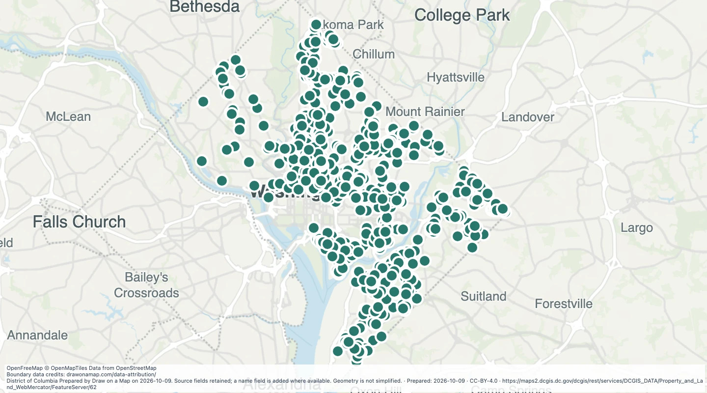 Map features: 923
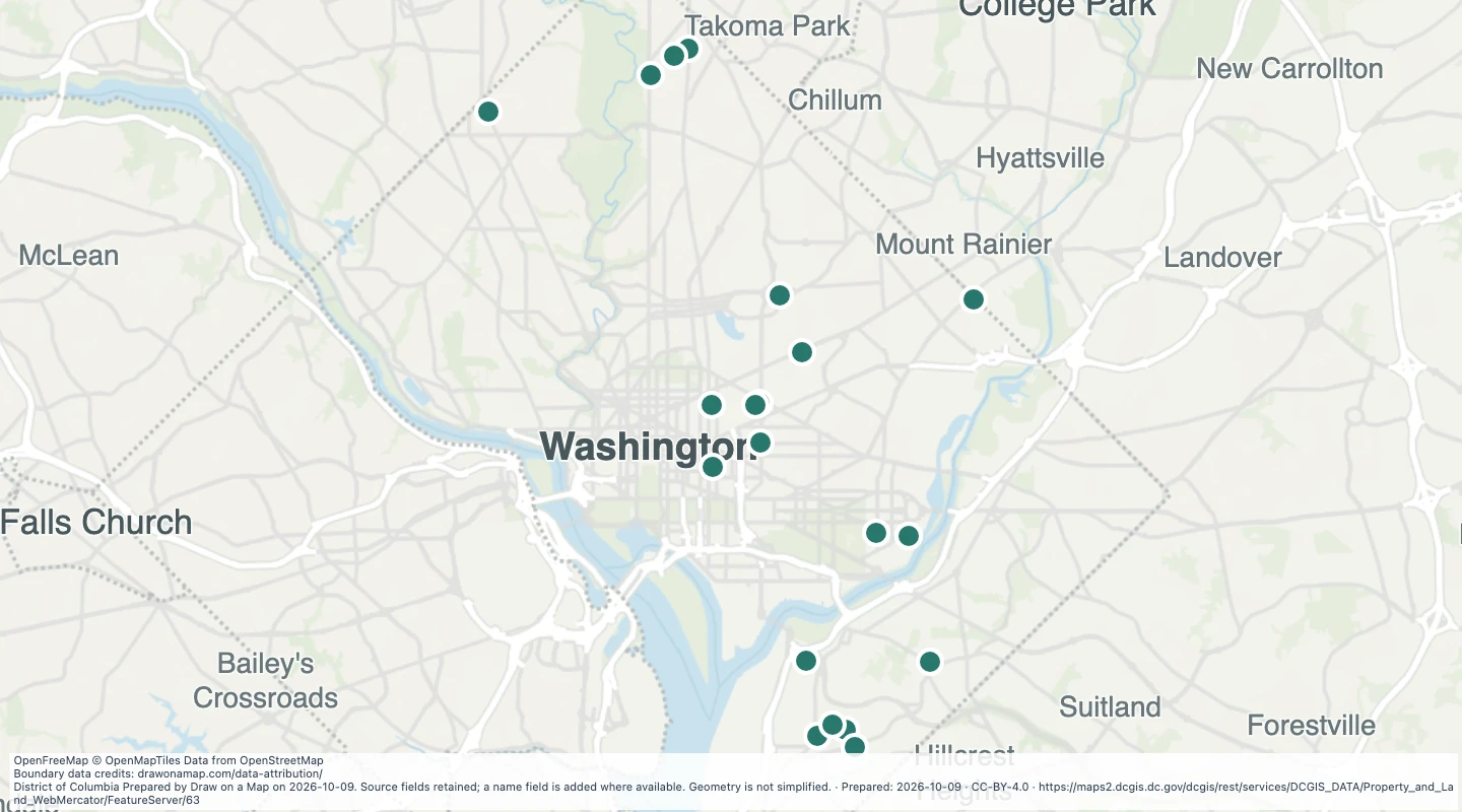 Map features: 21
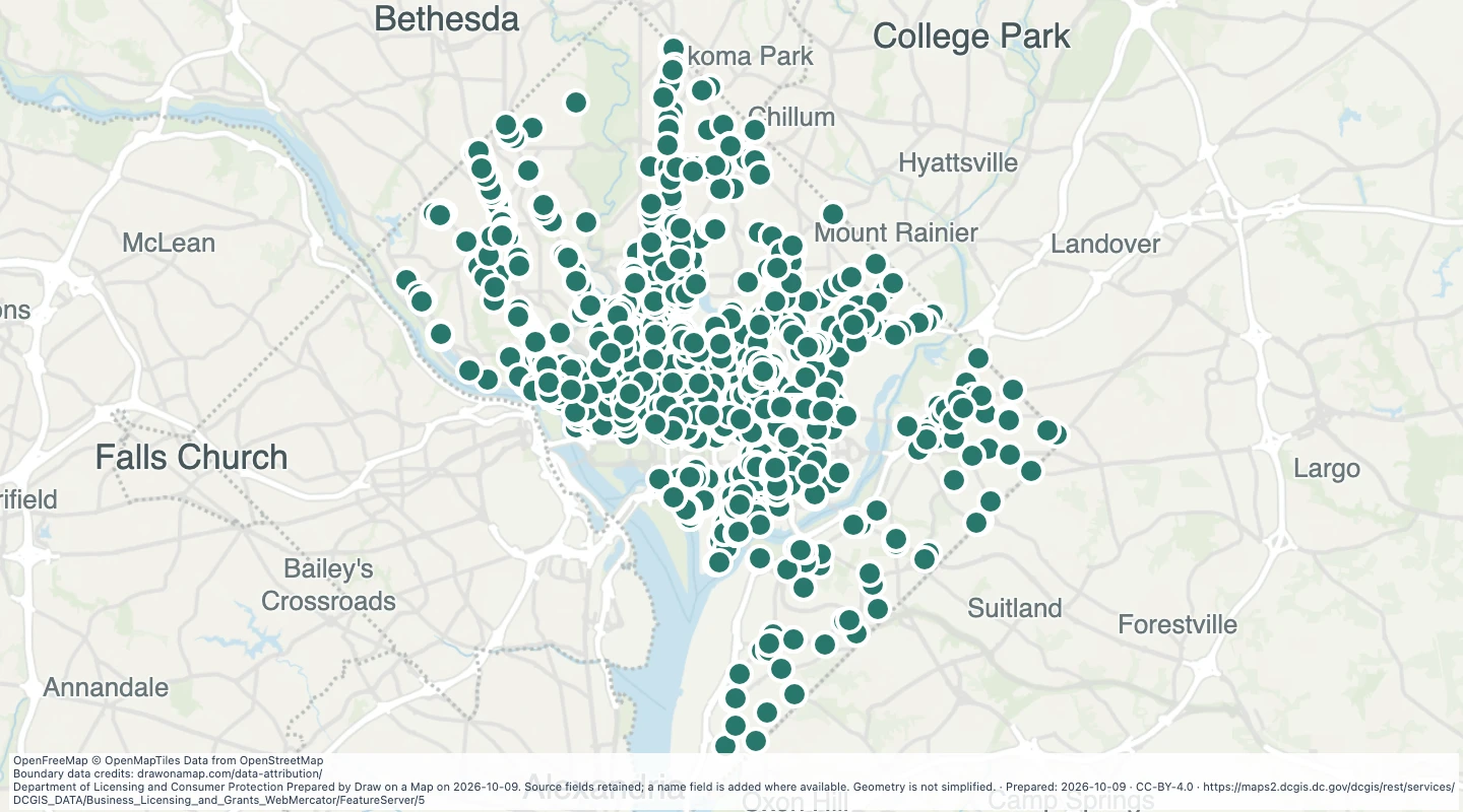 Map features: 2,329