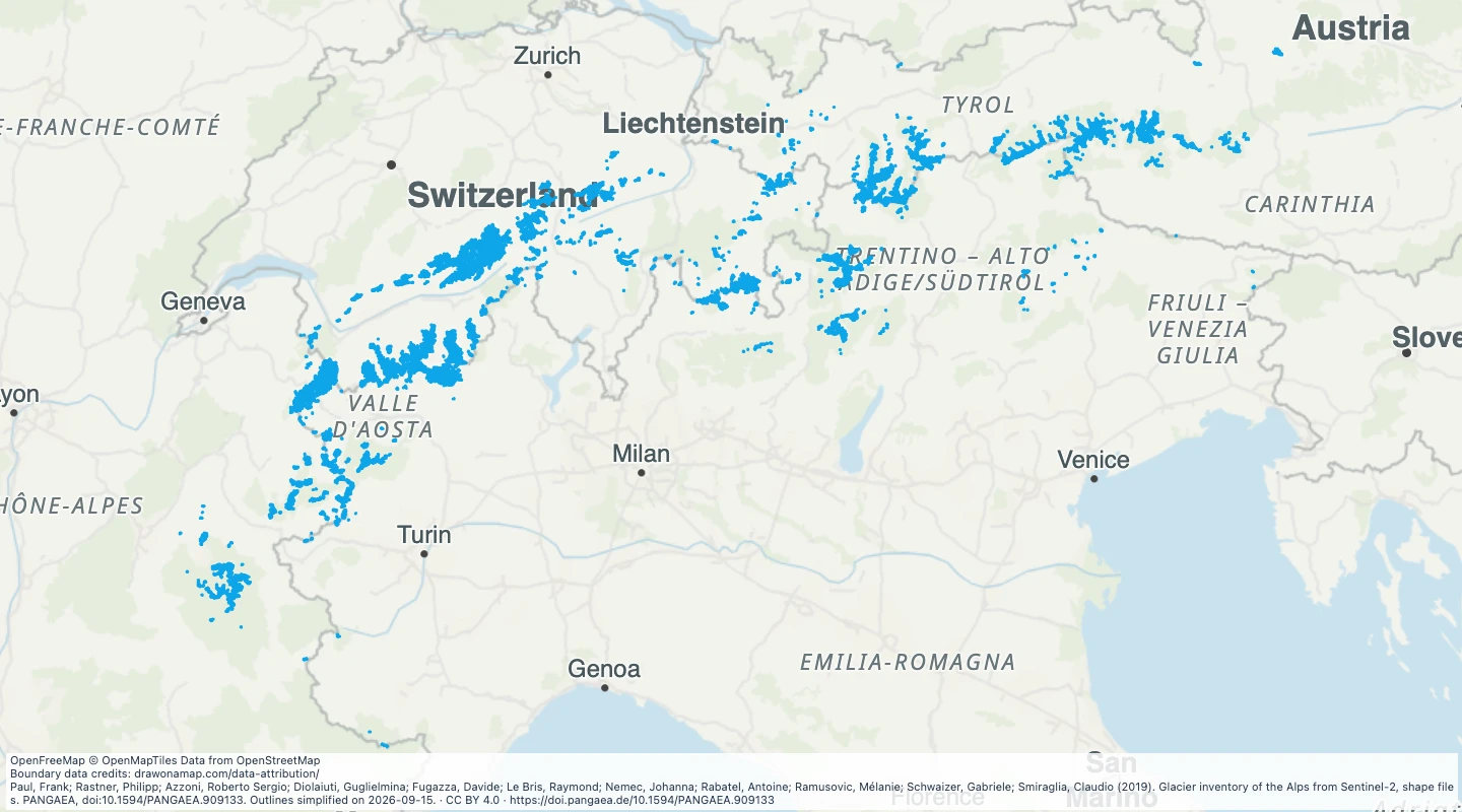
 Paul, Frank; Rastner, Philipp; Azzoni, Roberto Sergio; Diolaiuti, Guglielmina; Fugazza, Davide; Le Bris, Raymond; Nemec, Johanna; Rabatel, Antoine; Ramusovic, Mélanie; Schwaizer, Gabriele; Smiraglia, Claudio (2019). Glacier inventory of the Alps from Sentinel-2, shape files. PANGAEA, doi:10.1594/PANGAEA.909133. Outlines simplified on 2026-09-15.
About this dataset
- This inventory uses Sentinel-2 images from August 2015 and some 2016 images for Italy.
- The source contains glacier identifiers rather than common glacier names. Map labels use those identifiers.
- Areas and elevations are source measurements. The outlines do not show present-day glacier extent.
- Open the map to compare glacier areas and add study notes. Simplification removes some small boundary details.
- The source paper explains the uncertainty in outlines, especially for debris-covered ice.
GeoJSON download details
The download includes all 4,395 features as area groups, areas. Coordinates use longitude and latitude in WGS84.
The preparation date is when we prepared this dataset. Read the source notes for the dates covered by the data.
GeoJSON fields 6
name- Label using the source glacier identifier.
glacier_id- Identifier within this glacier inventory.
country- Source country code.
area_km2- Source glacier area in square kilometres.
image_date- Date of the source satellite image.
mean_elevation_m- Source mean elevation in metres.
 Draw on a Map
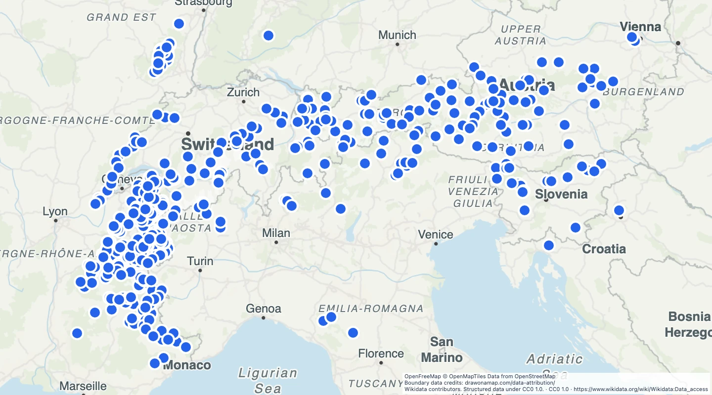 470 map features