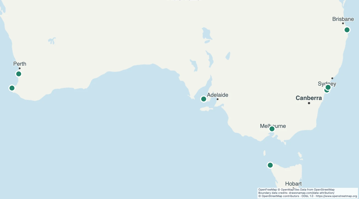
This map contains 8 mapped records for Australia surf locations. OpenStreetMap coverage depends on local contributors.
The map includes named physical surf spots and explicit artificial wave parks from the Australia surfing records. Shops, clubs, schools, general amenities, generic labels, and unnamed areas are excluded. Area records use an interior point. Line records use a point on the line.
Select a feature to read its name and source fields. Use the source link to inspect the original record.
The OpenStreetMap snapshot date is 2026-09-14T22:37:56Z. The dataset was prepared on 15 September 2026.
This is a small selection of named sites, not a complete Australian surf-spot inventory. The offshore Cowaramup Bombora record has a source note that asks for a more accurate position. The map provides no wave or safety forecast.
58 source records were omitted by the subject, geometry, and duplicate checks described here.
 Draw on a Map
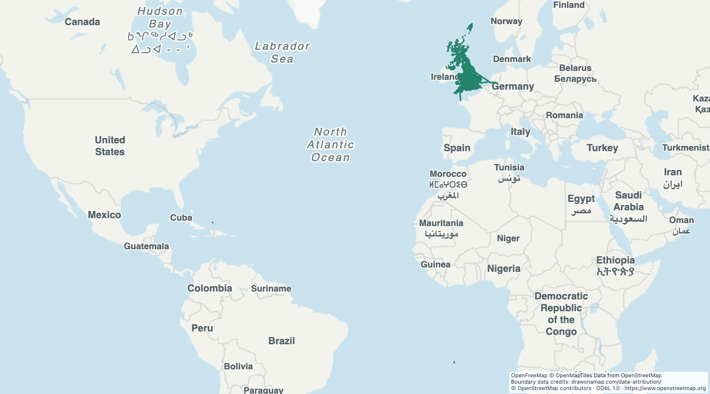 2,432 map features