Skip to content

Biodiversity hotspots worldwide

Explore the 2016.1 biodiversity hotspot boundaries. Compare these conservation regions and add notes about habitats and species.
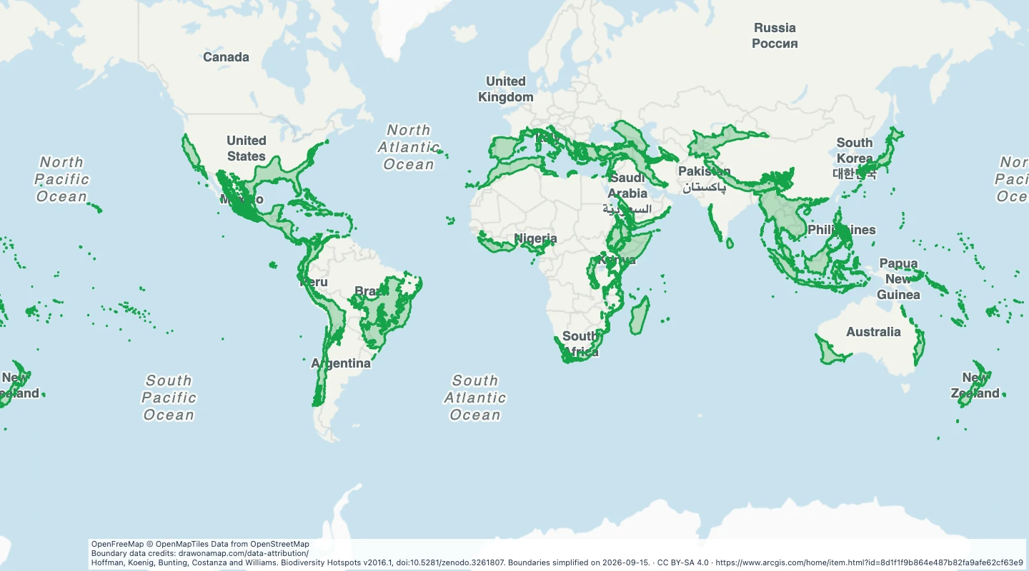
Preview of Biodiversity hotspots worldwide
Hoffman, Koenig, Bunting, Costanza and Williams. Biodiversity Hotspots v2016.1, doi:10.5281/zenodo.3261807. Boundaries simplified on 2026-09-15.

About this dataset

  • This map uses the 36 hotspot areas in version 2016.1. Duplicate outer-limit display polygons are excluded.
  • Hotspots are broad conservation regions with high plant endemism and extensive loss of original vegetation.
  • Use the map to compare conservation regions and add your own notes about habitats.
  • The boundaries are simplified. They do not show protected-area status or current land cover.

Source and licence

Conservation International and contributors

Licence: CC BY-SA 4.0

GeoJSON download details

The download includes all 36 features as area groups. Coordinates use longitude and latitude in WGS84.

The preparation date is when we prepared this dataset. Read the source notes for the dates covered by the data.

GeoJSON fields 1
name
Biodiversity hotspot name.