 USGS ComCat
About this dataset
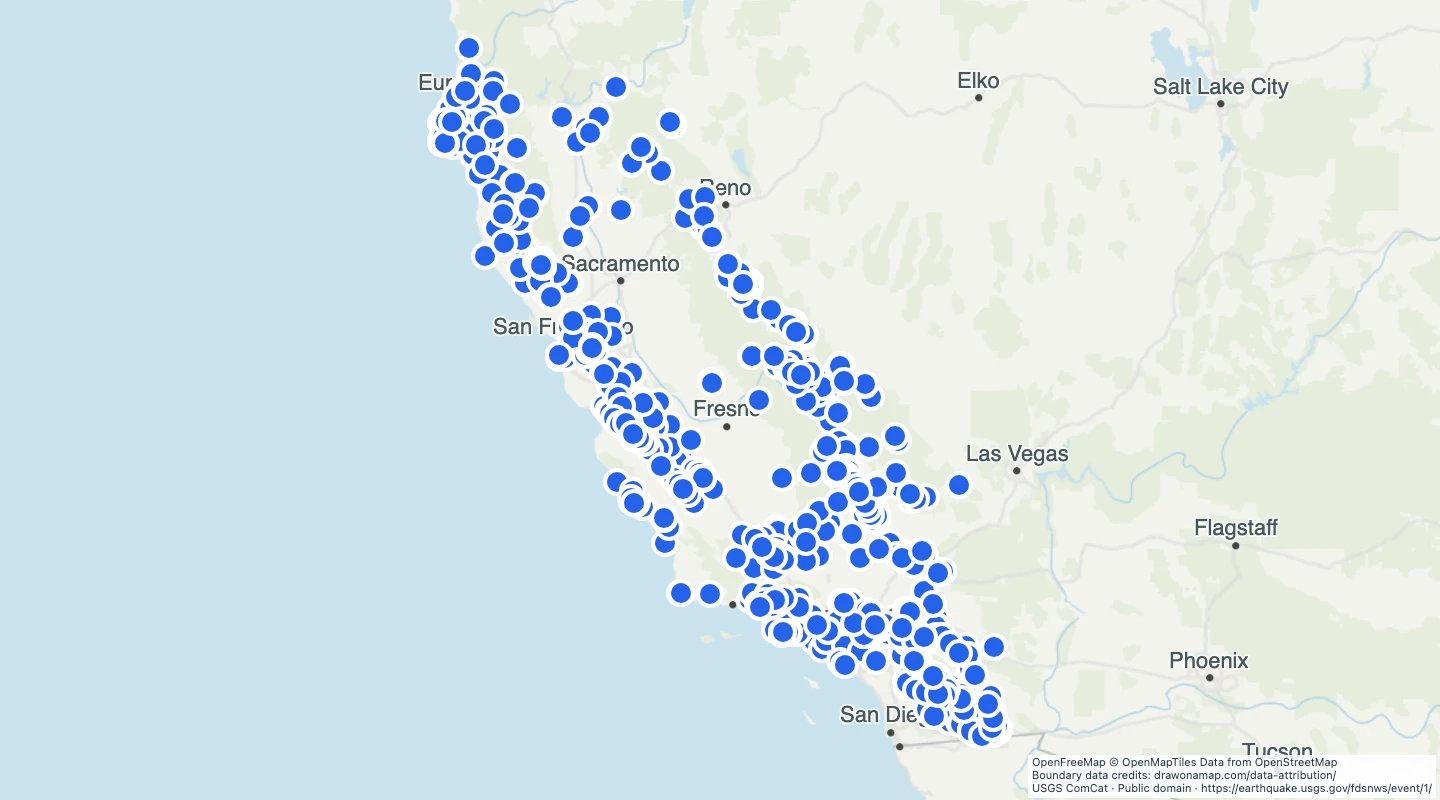
- The source query is clipped to the California state boundary. Offshore events outside that boundary are excluded.
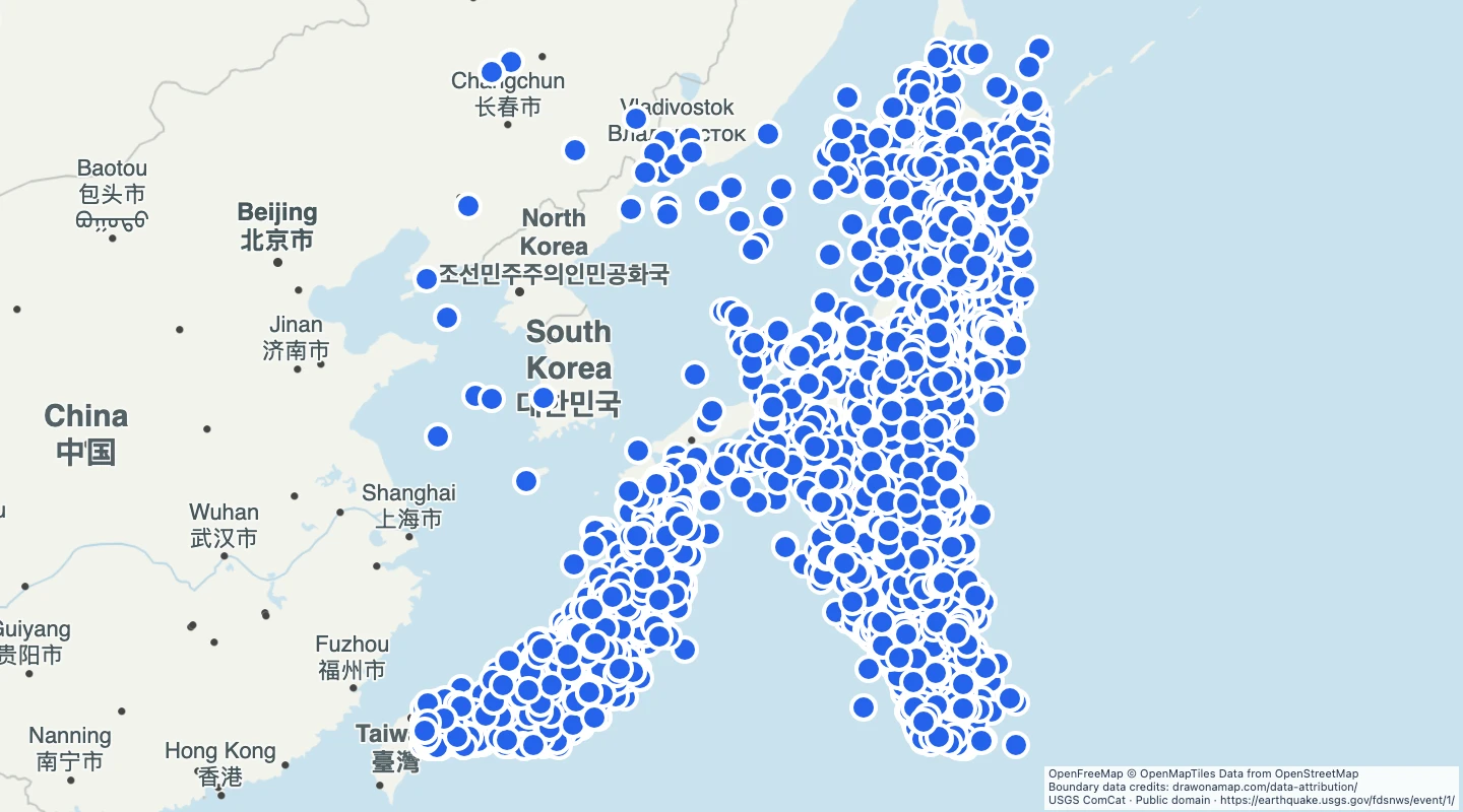
- Each point marks an earthquake epicentre. Depth is measured in kilometres below the reference surface.
- Use magnitude and event time to compare historical events.
- The period is 1 January 2020 through 31 December 2025. Magnitude 6 and larger events are excluded.
- The catalogue was retrieved on 15 September 2026. Event locations and magnitudes can be revised; this is not a hazard forecast.
GeoJSON download details
The download includes all 1,548 features as points. Coordinates use longitude and latitude in WGS84.
The preparation date is when we prepared this dataset. Read the source notes for the dates covered by the data.
GeoJSON fields 6
name- USGS event location label.
event_id- USGS event identifier.
magnitude- Source earthquake magnitude.
time_utc- Origin time in UTC.
depth_km- Event depth in kilometres.
source_url- USGS event page.
 Draw on a Map
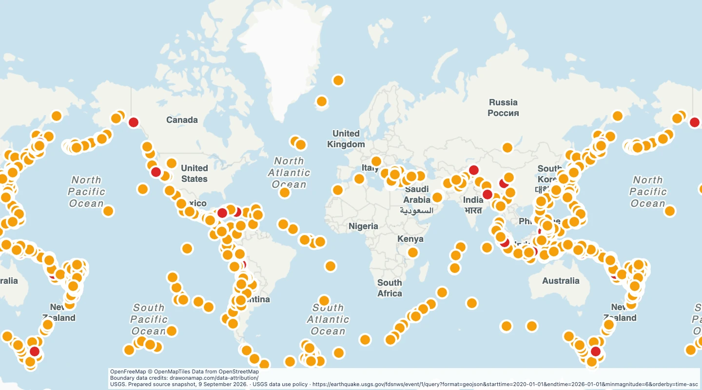 796 map features