 CAL FIRE FRAP
About this dataset
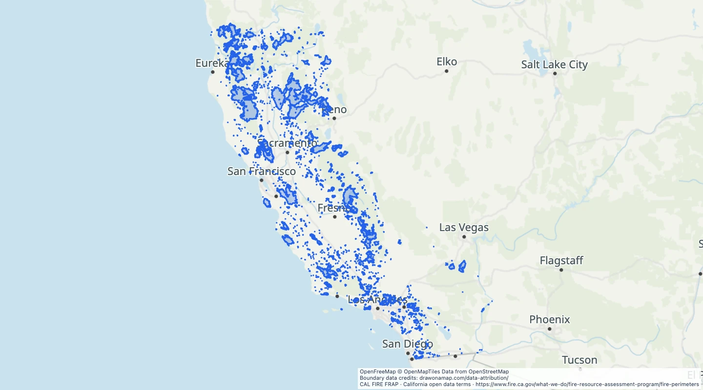
- This view uses the annual historical fire perimeter layer, not live incident updates.
- The source includes mapped fires across public and private land. It does not include every fire.
- Use fire year and reported acres to compare past fire footprints.
- The area field comes from the source. It is not recalculated from the simplified boundary.
- The 2020–2025 selection was retrieved on 15 September 2026. Boundaries can contain mapping errors and are not a current risk forecast.
GeoJSON download details
The download includes all 2,558 features as area groups, areas. Coordinates use longitude and latitude in WGS84.
The preparation date is when we prepared this dataset. Read the source notes for the dates covered by the data.
GeoJSON fields 5
name- Source fire name and year.
year- Source fire year.
acres- Source mapped perimeter area in acres.
source_id- IRWIN or source global identifier.
source_url- CAL FIRE source documentation.
 Draw on a Map
 1,548 map features