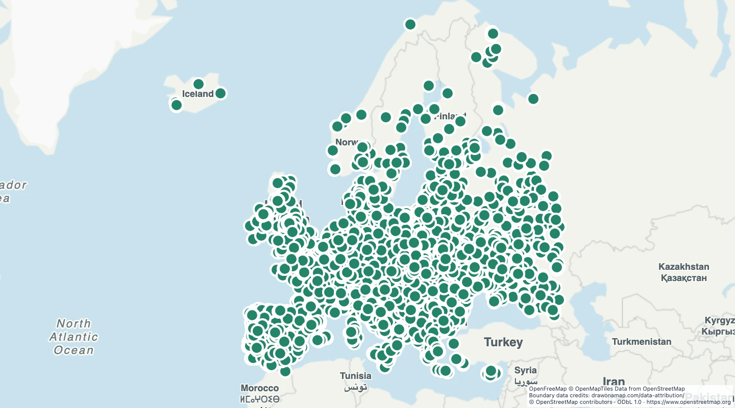
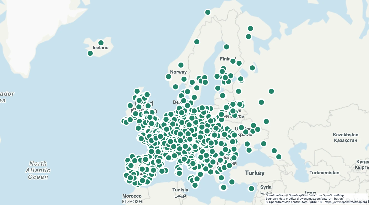
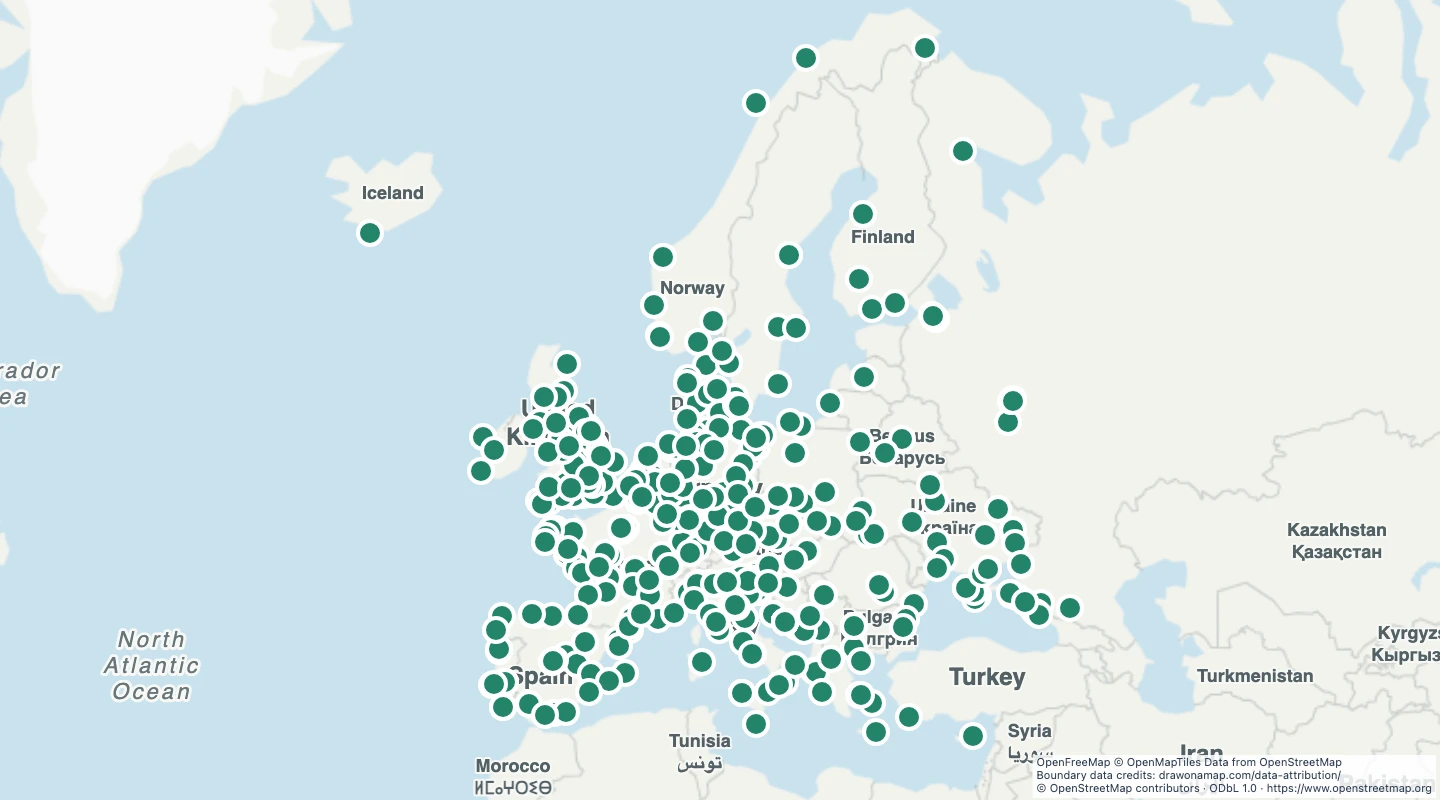
This map contains 4,564 mapped records for European football stadiums. OpenStreetMap coverage depends on local contributors.
The map includes stadiums that the source identifies for association football in the selected European countries. Multi-sport stadiums can be included. Area and line records use their mapped bounding-box centre. A centre can be outside an irregular shape and does not mark an entrance. Coverage includes European countries within 34° to 72° north and 25° west to 45° east. Turkey and land east of this window are not included.
Select a feature to read its name and source fields. Use the source link to inspect the original record.
The OpenStreetMap snapshot date is 2026-09-14T22:57:11Z. The dataset was prepared on 15 September 2026.
The source marks these stadiums for football. Multi-sport stadiums can be included. Capacity appears only when the source records it and can be out of date.
3 source records were omitted by the subject, geometry, and duplicate checks described here.
 Draw on a Map
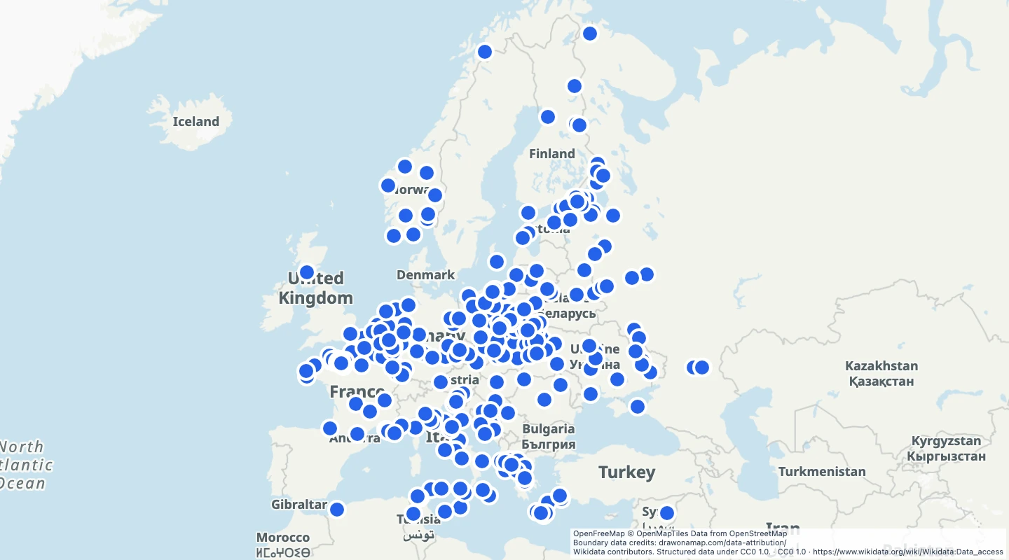 354 map features