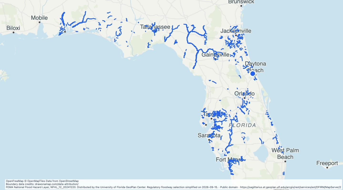
Explore FEMA regulatory floodway polygons in Florida from the December 2024 GeoPlan source. Compare county records and add study notes.
FEMA National Flood Hazard Layer, NFHL_12_20241220. Distributed by the University of Florida GeoPlan Center. Regulatory floodway selection simplified on 2026-09-15.
About this dataset
This map contains the regulatory floodway selection from the GeoPlan distribution of FEMA data dated December 20, 2024.
Regulatory floodways are a subset of mapped flood hazard areas. Other flood zones are not included.
The source returned 1,607 records. This map omits 8 tiny or collapsed polygons that have no usable area after display preparation.
Blank areas can have flood hazards. This selection does not show all areas with a 1-percent or 0.2-percent annual flood chance.
Open the map to compare county records and add study notes. Source update dates can differ by record.
Boundaries are simplified and the source is dated. Use current official FEMA maps for property, insurance, and regulatory decisions.
 Draw on a Map
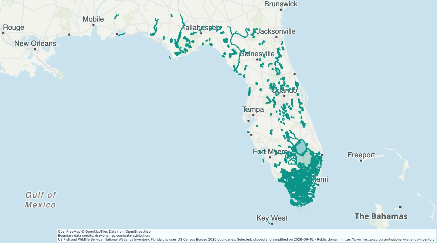 336 map features