Explore openly licensed OBIS occurrence records. Compare reported locations and dates, then add notes for a marine wildlife study.
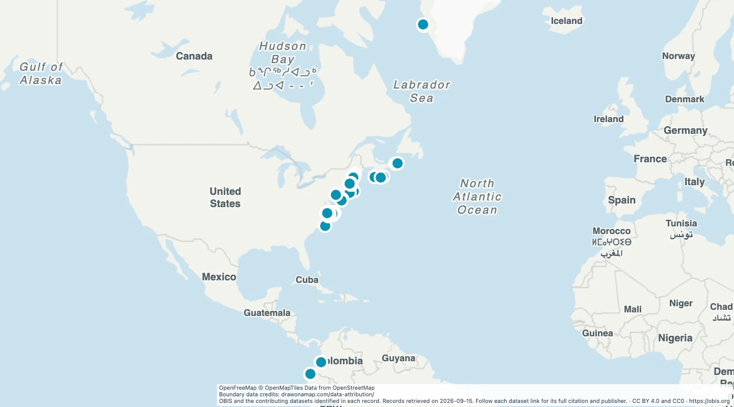
OBIS and the contributing datasets identified in each record. Records retrieved on 2026-09-15. Follow each dataset link for its full citation and publisher.
About this dataset
This map includes 1,104 CC BY or CC0 records from 29,190 OBIS records in the selected region and 2020–2025 period.
Both record and dataset terms must permit reuse under CC BY or CC0. Non-commercial and unknown terms are excluded.
The selection uses a geographic rectangle. Records near the edge can fall outside a strict ocean or sea boundary.
Points show reported occurrence coordinates. Repeated records and survey effort can strongly affect the pattern.
This is a dated observation dataset. It does not show a migration route, population size, or guaranteed wildlife sightings.
The citation field retains the contributing dataset citation and its DOI when the source supplies one.
 Draw on a Map
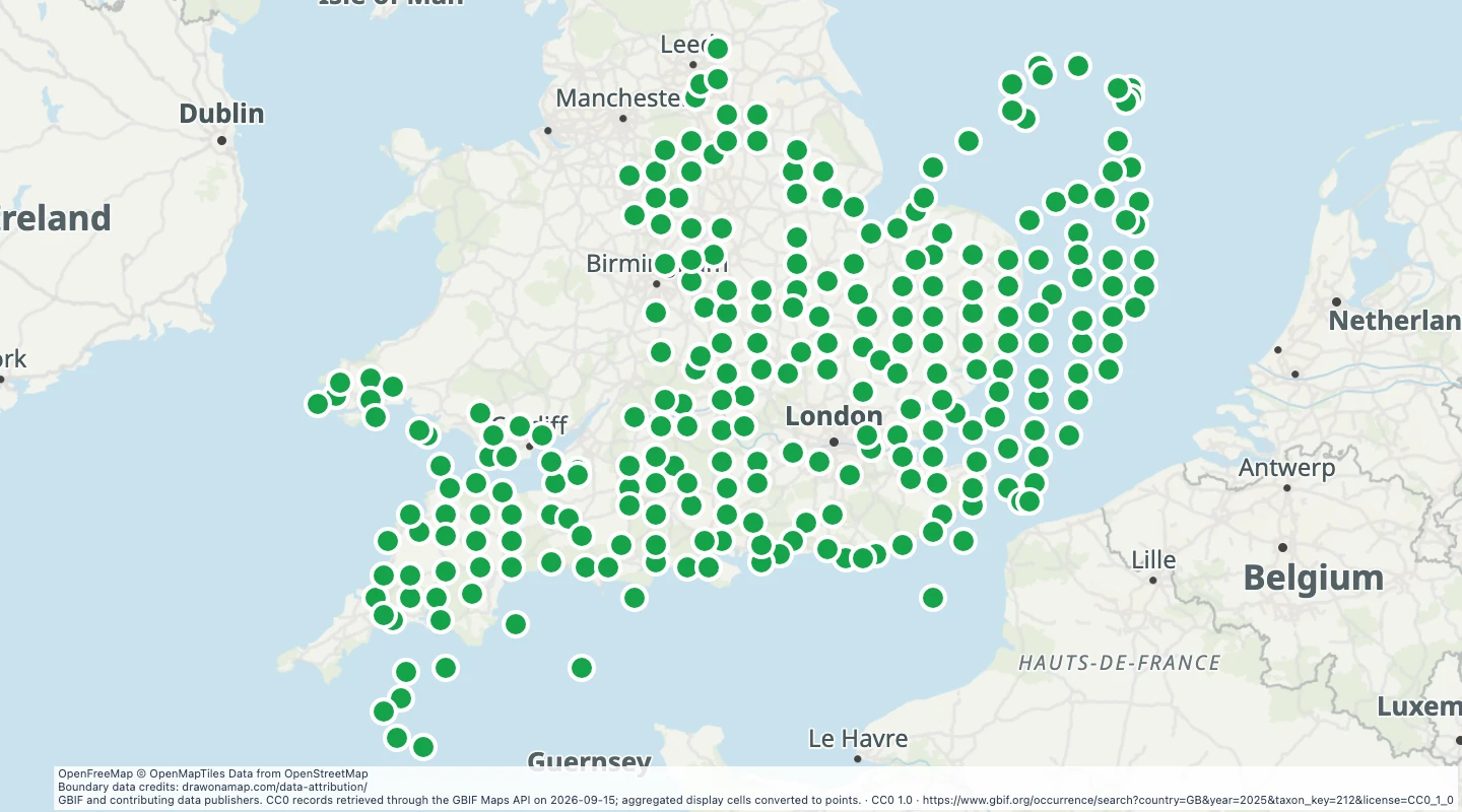 260 map features