 Draw on a Map
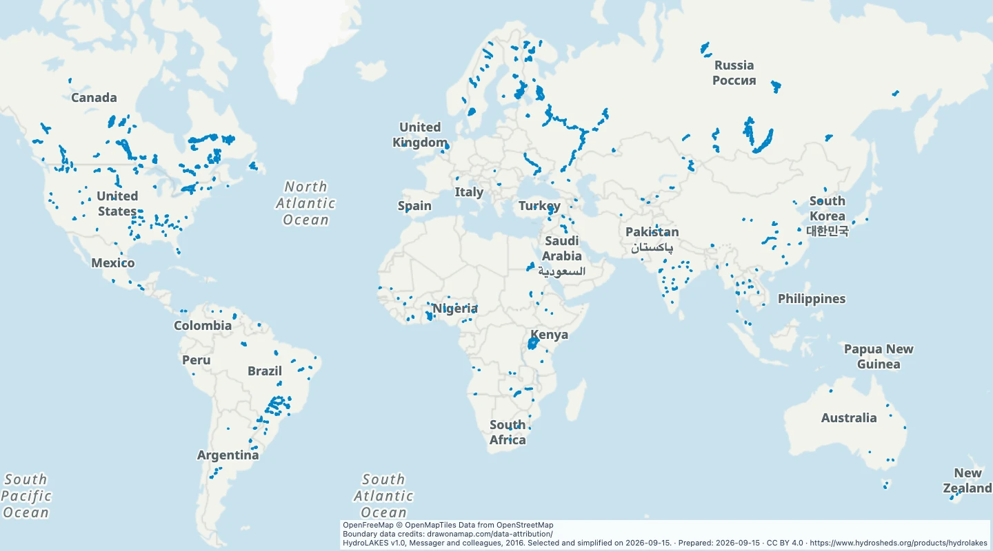
Large reservoirs and regulated lakes worldwide
Explore reservoirs and regulated lakes of at least 100 square kilometres from HydroLAKES. Compare their areas, countries, and reported storage volumes.
Inspect and select records
Choose values to filter the preview. Open or download the matching records.
Loading records from the map preview…
View record table
The table shows up to eight fields. The download keeps all fields and the original geometry.
About this dataset
- This map includes HydroLAKES records classified as reservoirs or regulated natural lakes with an area of at least 100 square kilometres.
- Area and storage values come from the source release. They do not show current water levels.
- Open the map to compare large water storage sites and add notes or routes.
- Boundaries are simplified for display. Unnamed source records use their HydroLAKES identifier.
Source and licence
Licence: CC BY 4.0
GeoJSON download details
The download includes all 412 features as area groups, areas. Coordinates use longitude and latitude in WGS84.
The preparation date is when we prepared this dataset. Read the source notes for the dates covered by the data.
GeoJSON fields 6
name- Source lake name or HydroLAKES identifier.
lake_id- HydroLAKES identifier.
country- Country recorded by the source.
area_km2- Source waterbody area in square kilometres.
lake_type- 2 means reservoir; 3 means regulated natural lake.
reservoir_volume_mcm- Reservoir storage volume in million cubic metres; a negative value means unavailable.