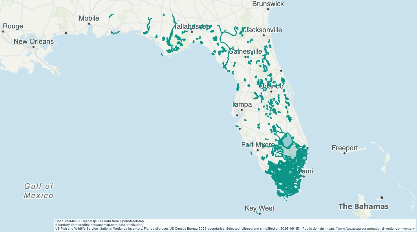
Explore large National Wetlands Inventory polygons in Florida. Compare wetland types and add conservation study notes.
US Fish and Wildlife Service, National Wetlands Inventory. Florida clip uses US Census Bureau 2025 boundaries. Selected, clipped and simplified on 2026-09-15.
About this dataset
This selection includes source wetland polygons of at least 10 square kilometres that intersect Florida. Deepwater classes are excluded.
Polygons are clipped to Florida using Census Bureau boundaries. A clipped part can be smaller than the source selection threshold.
The wetland class and source area come from the National Wetlands Inventory. Mapping dates vary across the state.
Small wetlands are excluded. A blank area on this map does not mean that no wetland exists.
Boundaries are simplified for display. This map does not determine regulatory wetland boundaries or permit requirements.
 Draw on a Map
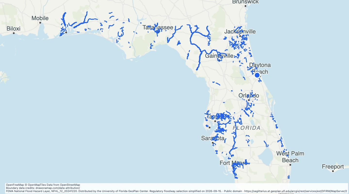 1,599 map features