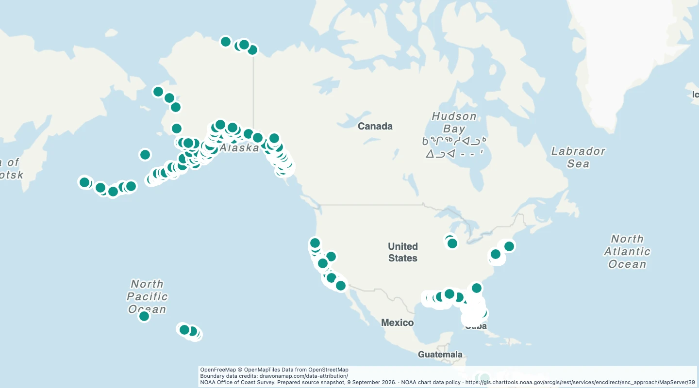
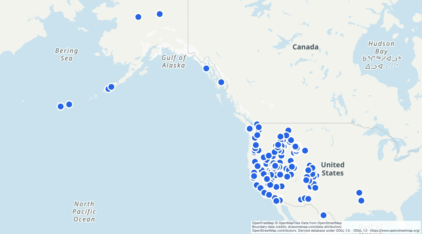
Marine protected areas in the United States
Explore the NOAA 2024 inventory of US marine protected areas. Compare protection types, managing agencies, and marine areas.
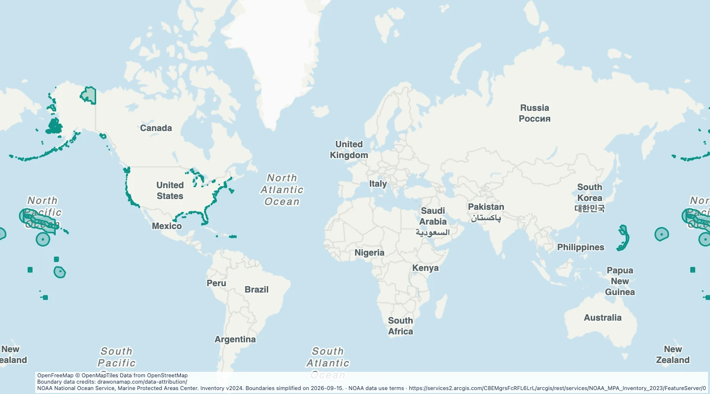 NOAA National Ocean Service, Marine Protected Areas Center. Inventory v2024. Boundaries simplified on 2026-09-15.
About this dataset
- This map uses the NOAA marine protected area inventory labelled v2024.
- Sites can overlap, and protection rules differ between sites. Read the protection and managing-agency fields.
- Use this map to compare protected areas and add notes about marine conservation.
- Boundaries are simplified for display. The dataset is not a legal document or a navigation chart.
GeoJSON download details
The download includes all 981 features as area groups, areas. Coordinates use longitude and latitude in WGS84.
The preparation date is when we prepared this dataset. Read the source notes for the dates covered by the data.
GeoJSON fields 8
name- Protected area name.
site_id- NOAA site identifier.
government- Level of government responsible for the site.
protection- Source protection category.
agency- Managing agency.
established- Reported establishment year.
marine_area_km2- Marine area in square kilometres reported by NOAA.
source_url- NOAA inventory source.
 Draw on a Map
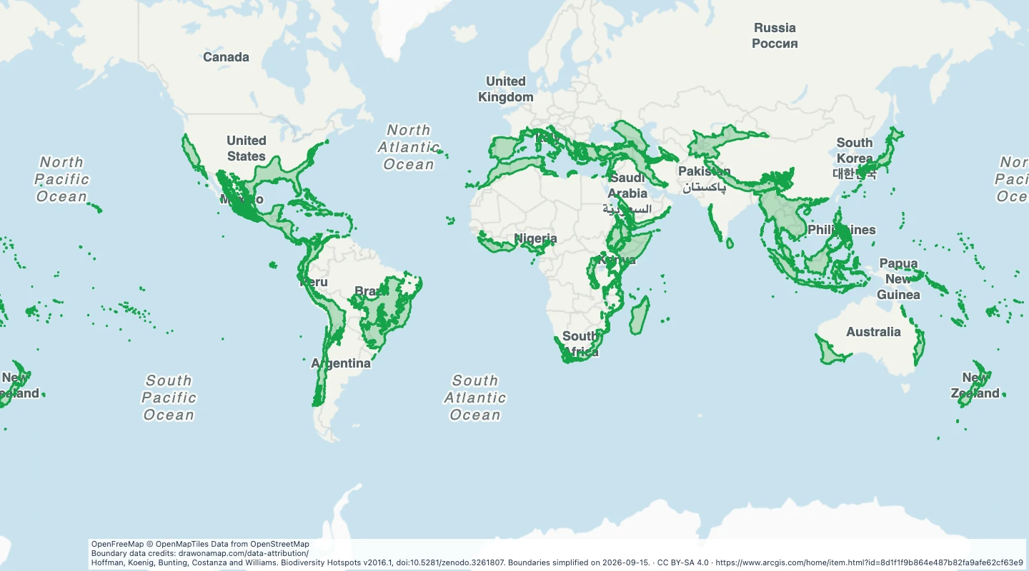 36 map features