 © OpenStreetMap contributors
About this dataset
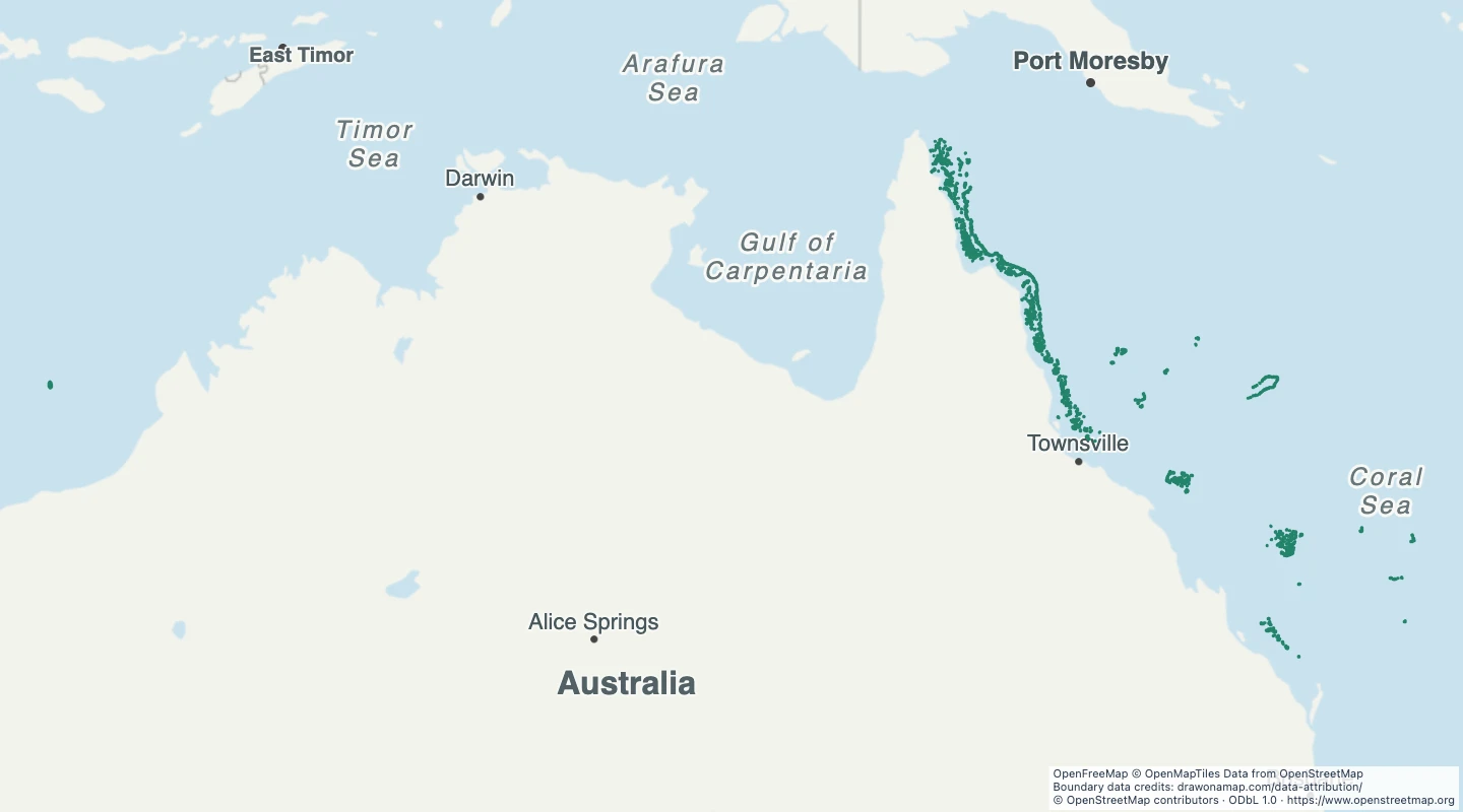
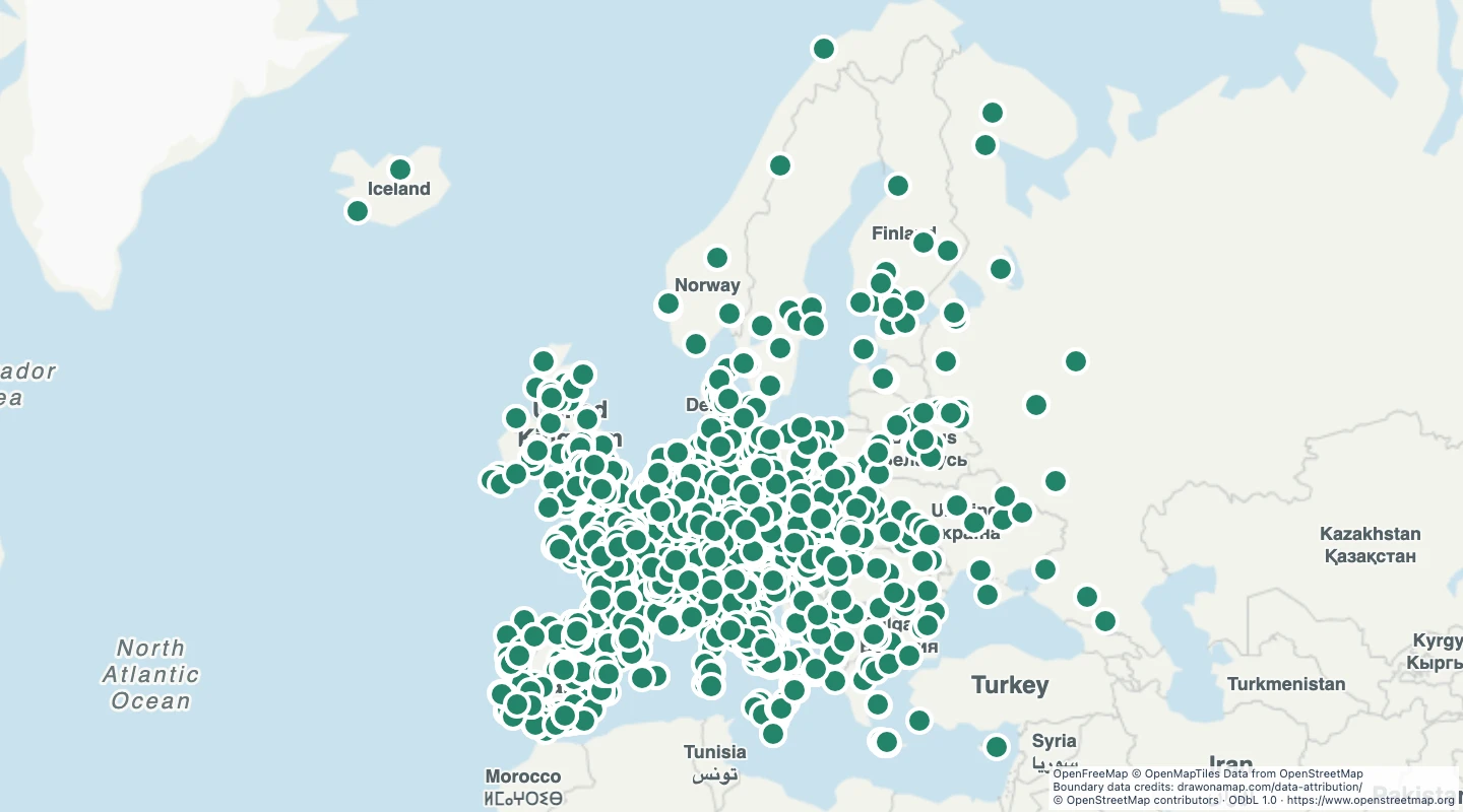
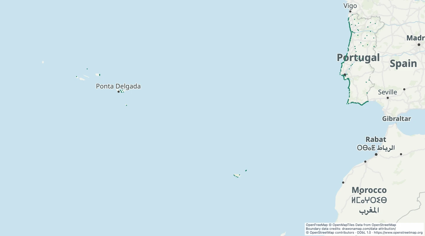
- This map contains 1,355 mapped records for Portugal beaches. OpenStreetMap coverage depends on local contributors.
- The map includes beach areas recorded within Portugal, including its island regions. Only records with usable area boundaries are included.
- Select a feature to read its name and source fields. Use the source link to inspect the original record.
- The OpenStreetMap snapshot date is 2026-09-14T23:16:27Z. The dataset was prepared on 15 September 2026.
- These are mapped beach boundaries. The map does not confirm safe swimming, lifeguard cover, or public access.
- 103 source records were omitted by the subject, geometry, and duplicate checks described here.
GeoJSON download details
The download includes all 1,355 features as area groups, areas. Coordinates use longitude and latitude in WGS84.
The preparation date is when we prepared this dataset. Read the source notes for the dates covered by the data.
GeoJSON fields 11
name- Source name or reference. If neither is available, the display name contains the feature type and source ID.
source_url- Link to the original OpenStreetMap object.
osm_id- OpenStreetMap object type and stable ID.
surface- Recorded surface material.
access- Recorded access rule. A missing value does not mean public access.
wheelchair- Recorded wheelchair access.
fee- Recorded fee requirement.
ref- Reference or route number recorded by the source.
opening_hours- Opening hours recorded by the source. Check the operator for current hours.
website- Website recorded by the source.
drinking_water- Recorded drinking water status. This is not a current water quality test.
 Draw on a Map
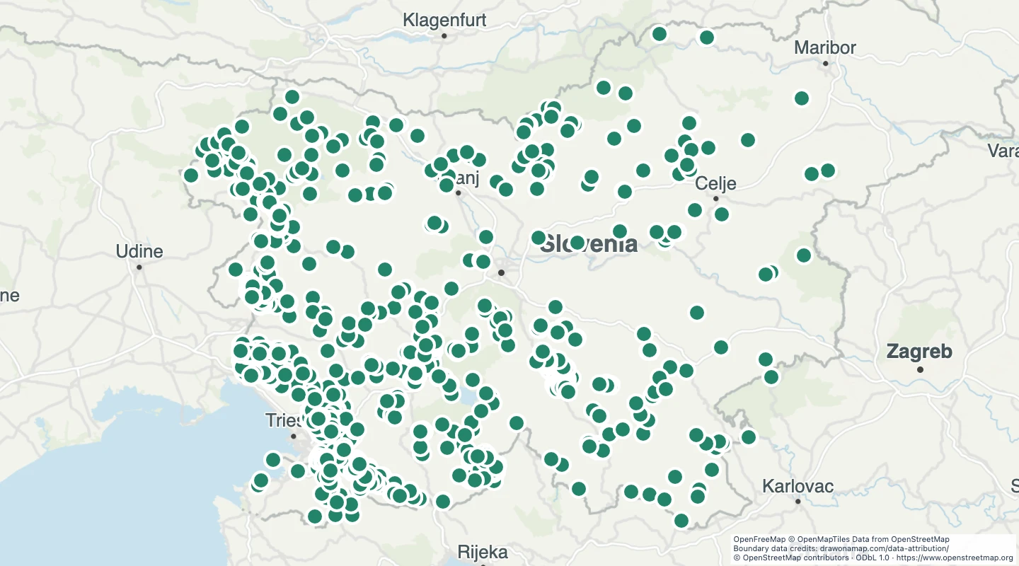 1,135 map features