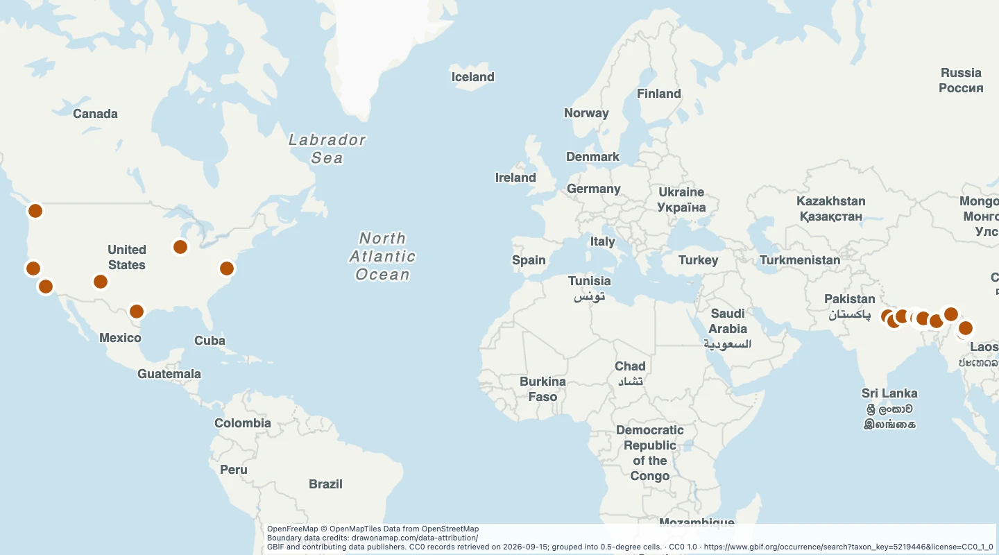
 GBIF and contributing data publishers. CC0 records retrieved on 2026-09-15; grouped into 0.5-degree cells.
About this dataset
- This map groups 40 coordinate-bearing records assigned to Ailurus fulgens in GBIF. Both records and source datasets must use CC0.
- Points show the centres of half-degree grid cells. Exact observation coordinates are not included.
- Records can include captive animals, historical specimens, and repeated observations. These points do not define the wild range.
- Use the map to examine source coverage and add notes. Record counts do not measure population size.
- Records in non-commercial or unclear-licence collections are excluded. Records can have identification and coordinate errors.
GeoJSON download details
The download includes all 22 features as points. Coordinates use longitude and latitude in WGS84.
The preparation date is when we prepared this dataset. Read the source notes for the dates covered by the data.
GeoJSON fields 3
name- Grid cell label from its southwest corner.
record_count- Source records in this cell.
cell_degrees- Grid cell width and height in degrees.
 Draw on a Map
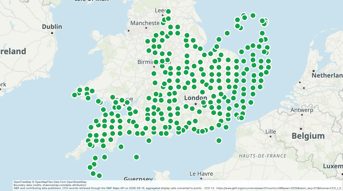 260 map features