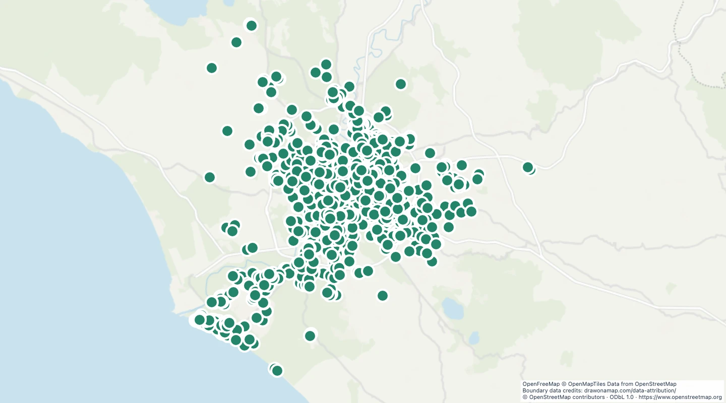
This map contains 2,072 mapped records for Rome drinking water fountains. OpenStreetMap coverage depends on local contributors.
The map includes drinking-water locations within the administrative boundary of Rome. Area and line records use their mapped bounding-box centre. A centre can be outside an irregular shape and does not mark an entrance.
Select a feature to read its name and source fields. Use the source link to inspect the original record.
The OpenStreetMap snapshot date is 2026-09-14T23:03:21Z. The dataset was prepared on 15 September 2026.
Points mark drinking-water locations recorded within Rome. A record does not confirm that water is running or that a recent water-quality test has passed.
 Draw on a Map
 1,094 map features