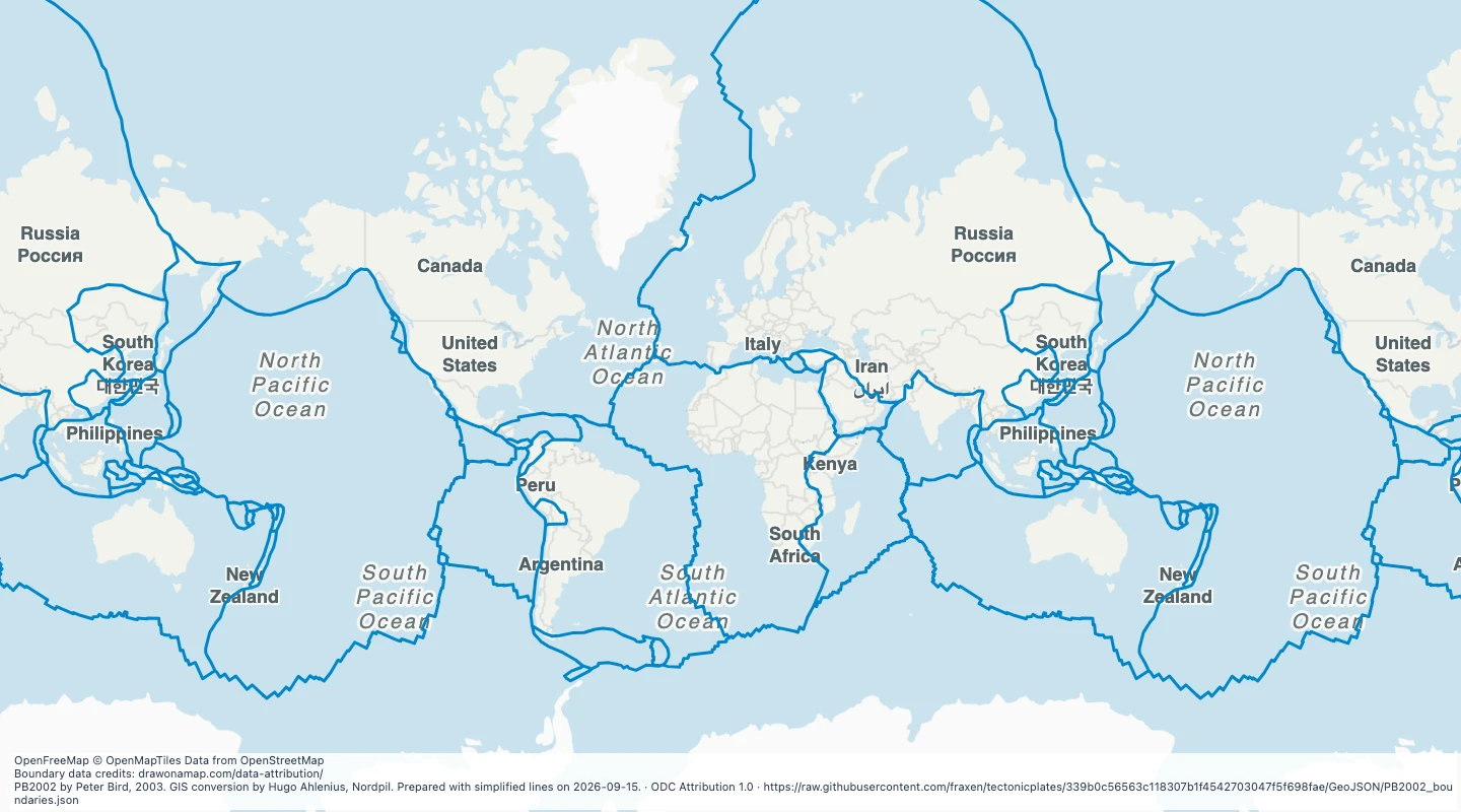
 PB2002 by Peter Bird, 2003. GIS conversion by Hugo Ahlenius, Nordpil. Prepared with simplified lines on 2026-09-15.
About this dataset
- This map shows boundary lines from the PB2002 plate model published in 2003.
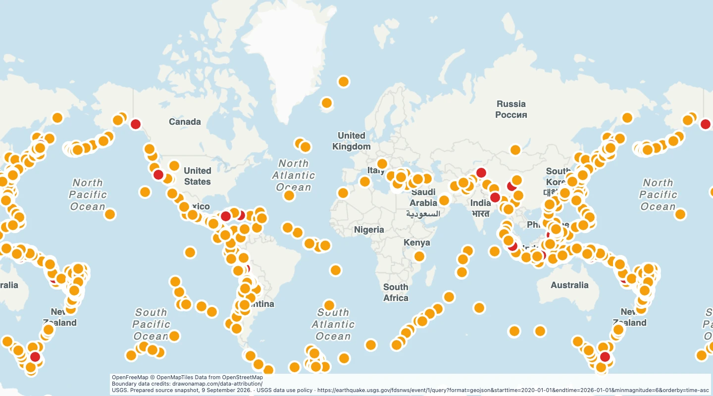
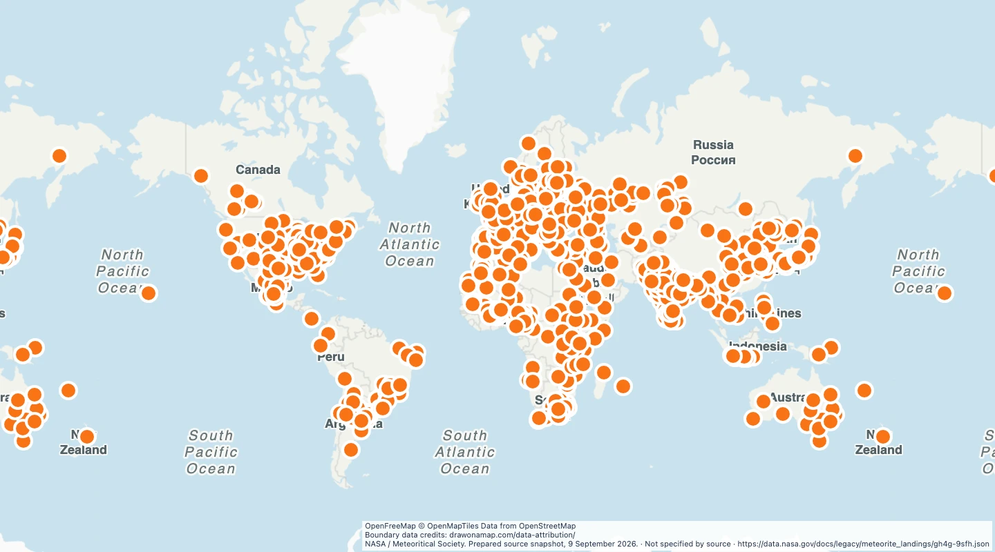
- Open the map to compare plate edges with earthquakes, volcanoes, and your own notes.
- Line geometry is simplified for a world map. Closely spaced sections can lose detail.
- These boundaries describe a global plate model. They are not a local fault map or an earthquake forecast.
- The standard map view ends near 85 degrees north and south. The download retains all source coordinates, including polar areas.
GeoJSON download details
The download includes all 241 features as lines. Coordinates use longitude and latitude in WGS84.
The preparation date is when we prepared this dataset. Read the source notes for the dates covered by the data.
GeoJSON fields 2
name- Boundary name supplied by the source, or a numbered boundary label.
source_url- Source dataset and documentation.
 Draw on a Map
 13,507 map features