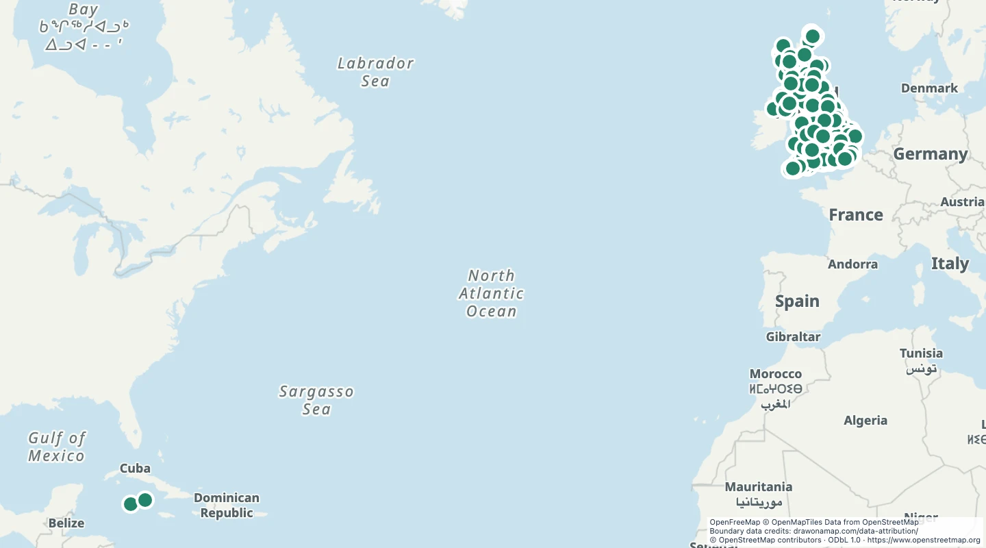
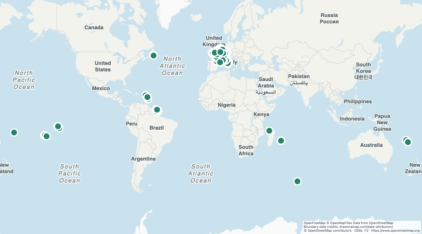
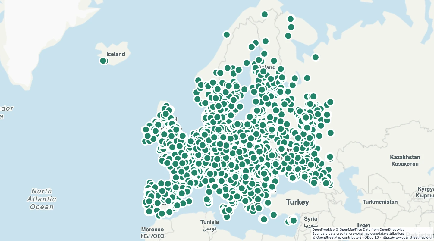
This map contains 1,218 mapped records for UK art galleries. OpenStreetMap coverage depends on local contributors.
The map includes places that OpenStreetMap classifies as galleries within the United Kingdom. Area and line records use their mapped bounding-box centre. A centre can be outside an irregular shape and does not mark an entrance.
Select a feature to read its name and source fields. Use the source link to inspect the original record.
The OpenStreetMap snapshot date is 2026-06-01T08:52:28Z. The dataset was prepared on 15 September 2026.
The source classifies these places as galleries. Shops without a gallery tag and museums without a gallery tag are absent.
 Draw on a Map
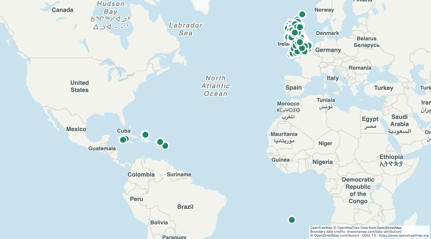 3,886 map features