Skip to content

United States ZIP Code areas (2020 Census ZCTAs)

Explore all 33,791 Census ZIP Code areas across the United States and its territories. Choose a map area to open its records, or download the complete dataset in 11 parts.
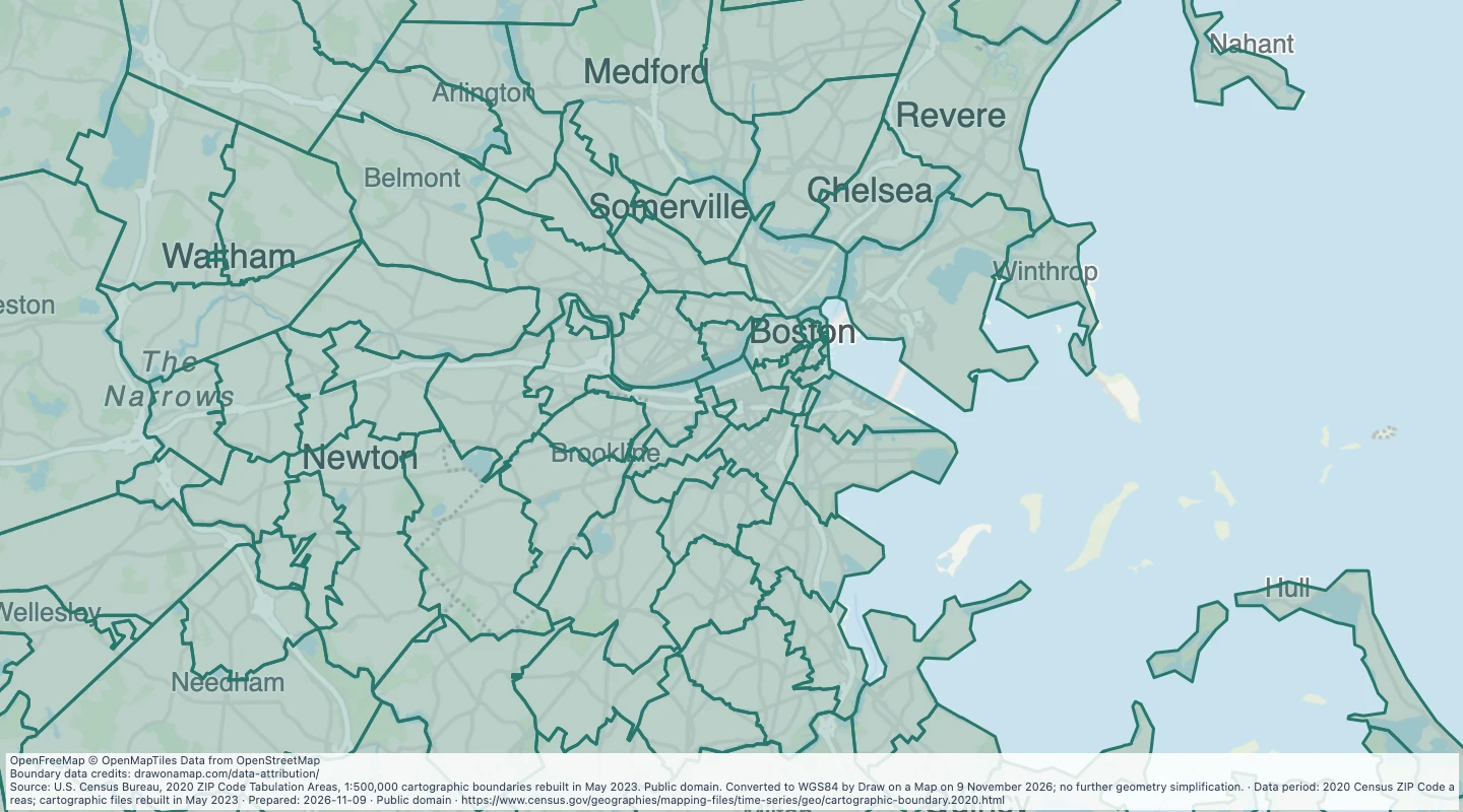
Preview of United States ZIP Code areas (2020 Census ZCTAs)
Source: U.S. Census Bureau, 2020 ZIP Code Tabulation Areas, 1:500,000 cartographic boundaries rebuilt in May 2023. Public domain. Converted to WGS84 by Draw on a Map on 9 November 2026; no further geometry simplification.

About this dataset

  • These Census areas approximate ZIP Code coverage in 2020. They are not suitable for address validation or current USPS delivery decisions.
  • Coverage includes 33,642 areas in the 50 states and District of Columbia, 132 in Puerto Rico, and 17 in American Samoa, Guam, the Northern Mariana Islands, and the U.S. Virgin Islands.
  • Not every valid ZIP Code has a Census area. Some PO Box, business, and institutional ZIP Codes are represented, but others are absent. An absent code is not proof of an invalid postal code.
  • The source uses 2020 Census areas. Its 1:500,000 cartographic files were rebuilt in May 2023; the preparation date is 9 November 2026.
  • The preview starts near Boston. Move and zoom the map to choose another area. Area selection keeps whole records that intersect the visible rectangle; it does not cut their shapes at the rectangle edge.
  • All 33,791 source records and their original fields remain in the full download. Keep all download parts for complete coverage. Leading zeros, holes, and separate island pieces are retained.
  • The Census source shapes are simplified for overview maps. Coordinates were converted from NAD83 to WGS84 without further simplification. Do not use these shapes for precise boundary, area, or perimeter measurement.
  • The layer contains boundaries and source land/water area fields. It has no population, income, address list, or delivery counts.
  • Source metadata: https://drawonamap.com/library/sources/census-zcta-2026-11/source-metadata.xml. Source: U.S. Census Bureau. Public domain.

Source and licence

U.S. Census Bureau

Licence: Public domain

GeoJSON download details

The downloads include all 33,791 features as area groups, areas. Coordinates use longitude and latitude in WGS84.

The preparation date is when we prepared this dataset. Read the source notes for the dates covered by the data.

GeoJSON fields 7
ZCTA5CE20
Five-digit 2020 Census ZIP Code Tabulation Area code. Leading zeros are retained.
AFFGEOID20
Fully qualified Census identifier for the 2020 ZIP Code area.
GEOID20
Five-digit Census geographic identifier for the 2020 ZIP Code area.
NAME20
Source area label. This is the ZIP Code area code, not a city name.
LSAD20
Census legal/statistical area description code.
ALAND20
Source land area in square metres. It is not recalculated from these simplified shapes.
AWATER20
Source water area in square metres. It is not recalculated from these simplified shapes.