Skip to content

US lighthouses

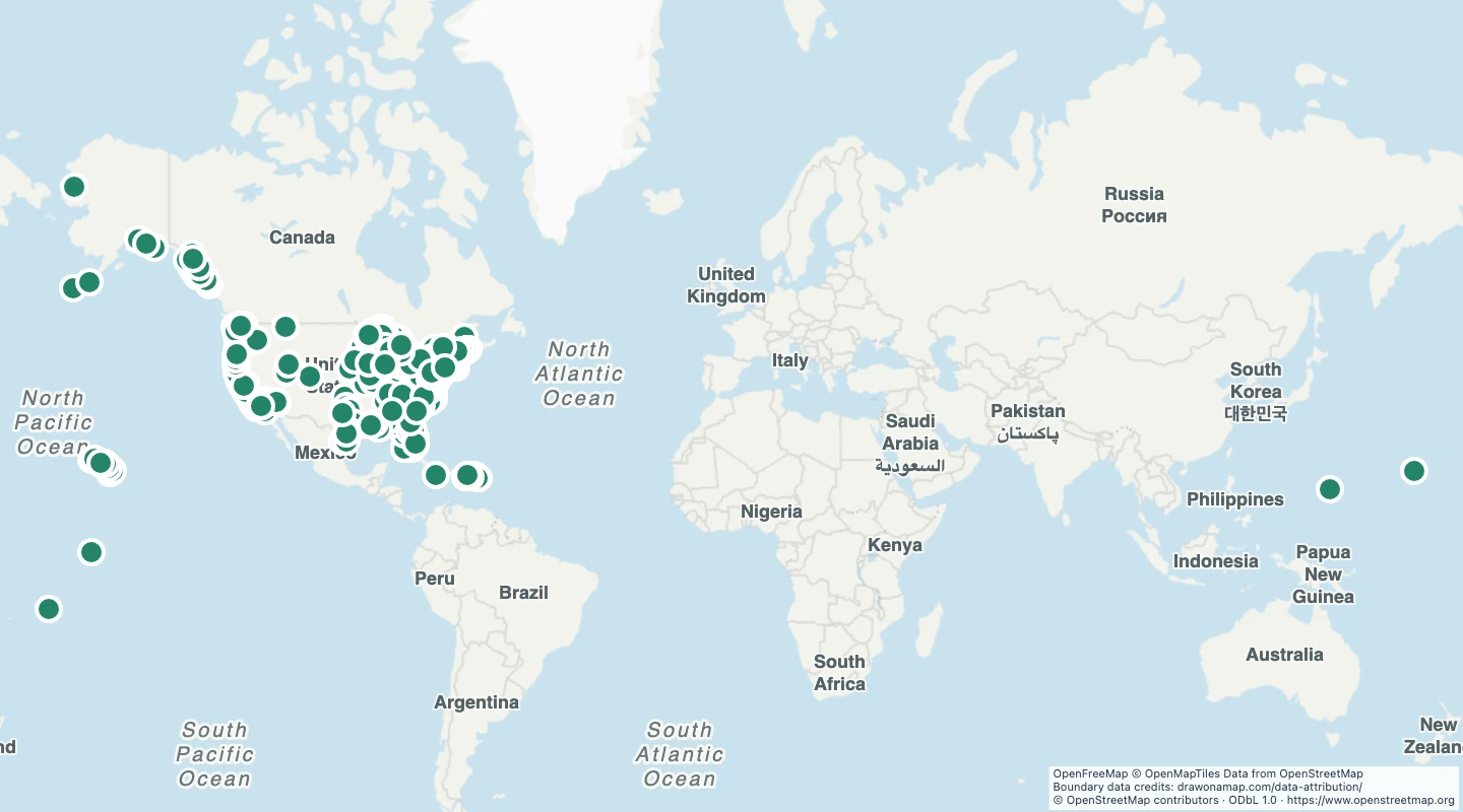
Explore mapped lighthouses across the United States. Compare coastal and inland locations and inspect each source record.

Preview of US lighthouses
© OpenStreetMap contributors

About this dataset

  • This map contains 987 mapped records for US lighthouses. OpenStreetMap coverage depends on local contributors.
  • The map includes structures that the source classifies as lighthouses within the United States. Area and line records use their mapped bounding-box centre. A centre can be outside an irregular shape and does not mark an entrance.
  • Select a feature to read its name and source fields. Use the source link to inspect the original record.
  • The OpenStreetMap snapshot date is 2026-09-14T22:52:03Z. The dataset was prepared on 15 September 2026.
  • The source marks these structures as lighthouses. Other navigation lights without a lighthouse tag are absent. One misplaced record for Stevns Fyr in Denmark is excluded. The map is not a navigation aid.
  • 2 source records were omitted by the subject, geometry, and duplicate checks described here.

Source and licence

OpenStreetMap

Licence: ODbL 1.0

GeoJSON download details

The download includes all 987 features as points. Coordinates use longitude and latitude in WGS84.

The preparation date is when we prepared this dataset. Read the source notes for the dates covered by the data.

GeoJSON fields 11
name
Source name or reference. If neither is available, the display name contains the feature type and source ID.
source_url
Link to the original OpenStreetMap object.
osm_id
OpenStreetMap object type and stable ID.
website
Website recorded by the source.
operator
Operator recorded by the source.
access
Recorded access rule. A missing value does not mean public access.
wheelchair
Recorded wheelchair access.
ref
Reference or route number recorded by the source.
opening_hours
Opening hours recorded by the source. Check the operator for current hours.
ruins
Recorded ruin status.
fee
Recorded fee requirement.