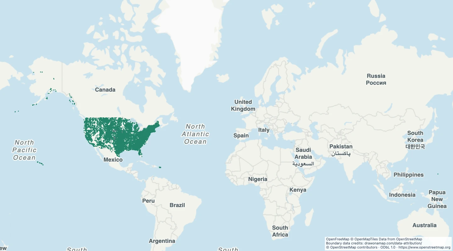
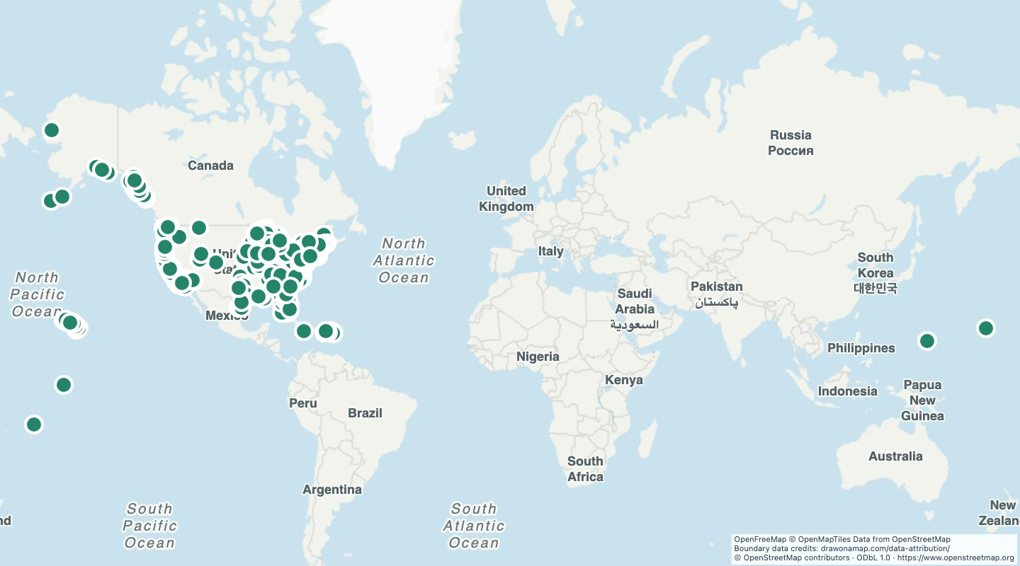
This map contains 25,430 mapped records for US named dams. OpenStreetMap coverage depends on local contributors.
The map includes every dam structure recorded as an OpenStreetMap line with a non-empty name within the United States. Unnamed dam records are excluded. Only records with usable line geometry are included.
Select a feature to read its name and source fields. Use the source link to inspect the original record.
The OpenStreetMap snapshot date is 2026-09-14T23:20:32Z. The dataset was prepared on 15 September 2026.
Lines mark named dam structures mapped as OpenStreetMap ways. Closed outlines remain lines. Unnamed ways, dam nodes, and multipolygon relations are not included. This is not a complete dam inventory or a dam safety record.
Line and boundary detail is reduced by up to 5e-05 degrees for map display. Use the source for detailed measurements.
 Draw on a Map
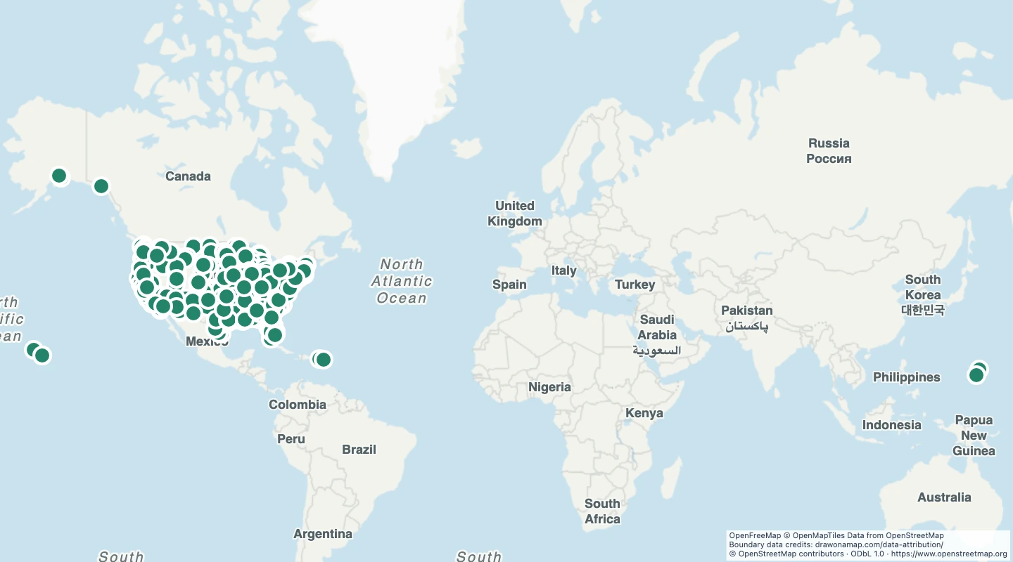 708 map features