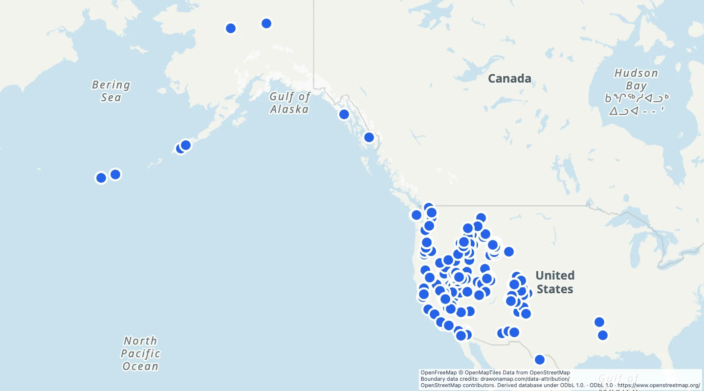
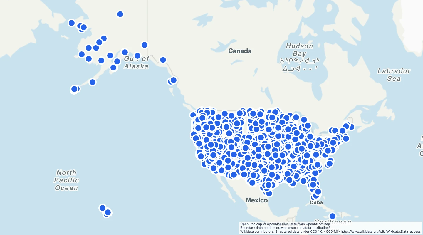
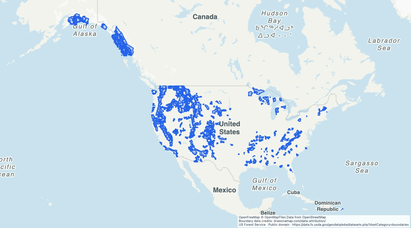
 US Forest Service
About this dataset
- These are administrative boundaries. They can include private land and land managed by other agencies.
- The selection keeps source unit names that contain National Forest. Units can combine several forests.
- Use the names and forest codes to prepare regional maps or compare forest administration.
- The boundaries are simplified for display. They are not ownership parcels or permission to enter.
- The source service was retrieved on 15 September 2026. Confirm local access and rules with the Forest Service.
GeoJSON download details
The download includes all 106 features as area groups, areas. Coordinates use longitude and latitude in WGS84.
The preparation date is when we prepared this dataset. Read the source notes for the dates covered by the data.
GeoJSON fields 4
name- Administrative forest unit name.
source_id- Source administrative forest identifier.
forest_code- Forest Service organisation code.
source_url- US Forest Service website.
 Draw on a Map
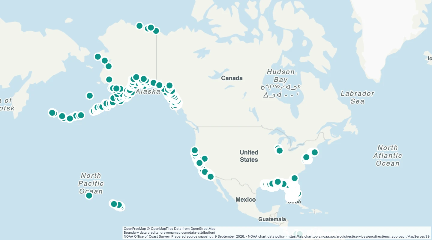 3,259 map features