 NOAA Storm Prediction Center
About this dataset
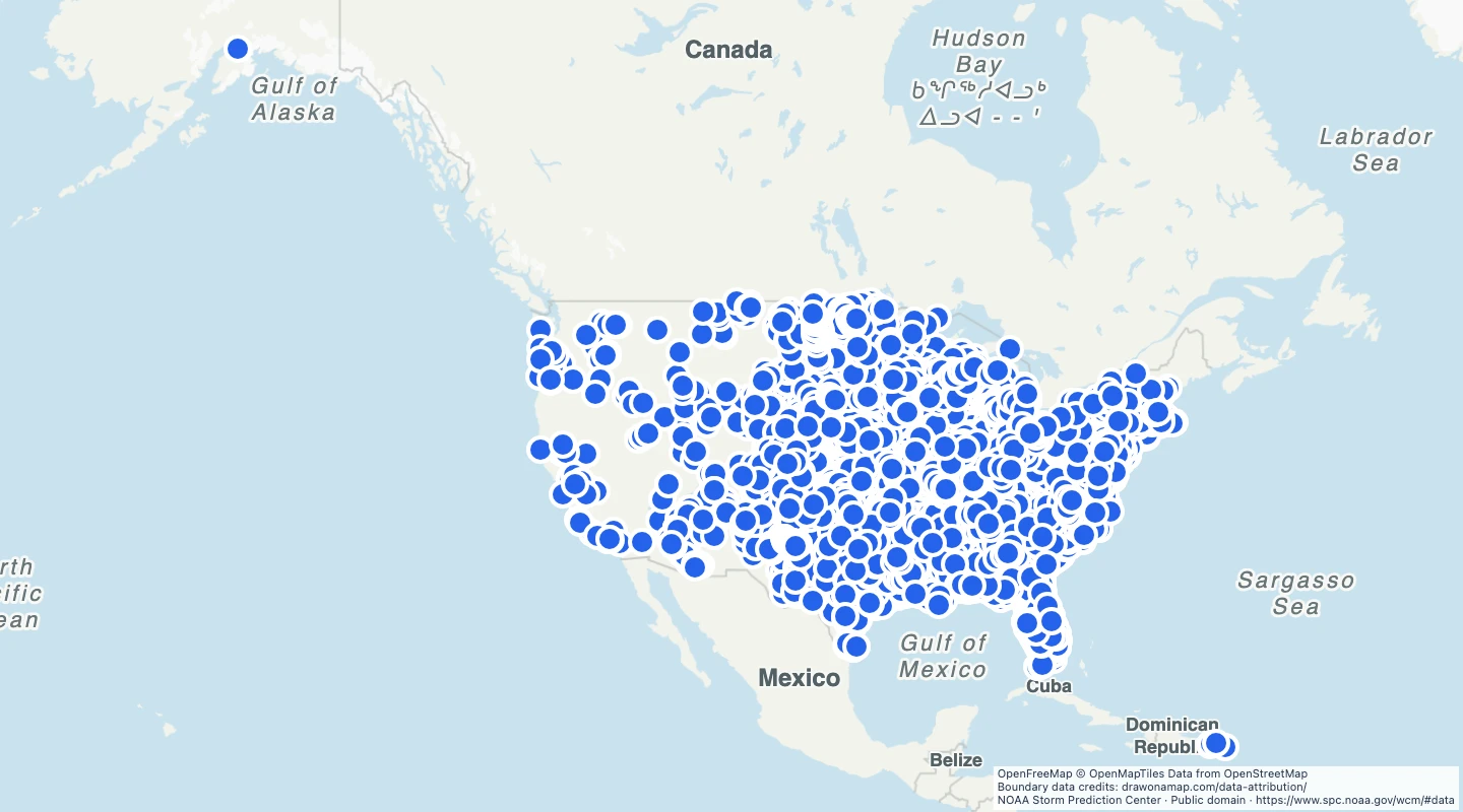
- Each point is the reported start of a tornado. It is not the full tornado path.
- The selection keeps whole-tornado records and removes state-segment records from the source.
- Use year, state, and Enhanced Fujita rating to compare reported events.
- A missing rating means the source did not give a known EF rating. Records without start coordinates are excluded.
- The 2020–2025 selection was retrieved on 15 September 2026. Reporting and detection methods affect comparisons.
GeoJSON download details
The download includes all 7,957 features as points. Coordinates use longitude and latitude in WGS84.
The preparation date is when we prepared this dataset. Read the source notes for the dates covered by the data.
GeoJSON fields 6
name- State and event date.
event_id- Year and SPC tornado identifier.
state- Source state abbreviation.
date- Source event date.
ef_rating- Enhanced Fujita rating, 0 to 5, where known.
source_url- SPC source data and documentation.
 Draw on a Map
 31 map features