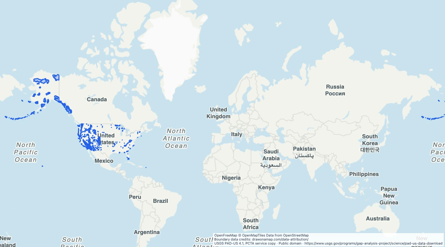
 USGS PAD-US 4.1, PCTA service copy
About this dataset
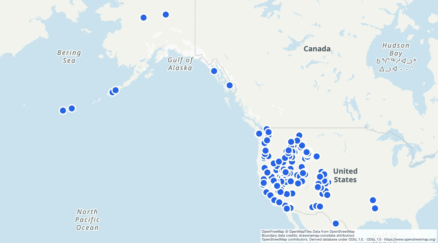
- This view selects records with the Wilderness designation; wilderness study areas are excluded.
- Parts with the same name, state, and manager are merged to remove duplicate overlap within each site.
- Use the state and manager fields to compare the selected protected areas.
- PAD-US boundaries do not confirm public entry rights. Source completeness and dates vary by contributor.
- The PAD-US 4.1 service copy was retrieved on 15 September 2026. Boundaries are simplified for display.
GeoJSON download details
The download includes all 908 features as area groups, areas. Coordinates use longitude and latitude in WGS84.
The preparation date is when we prepared this dataset. Read the source notes for the dates covered by the data.
GeoJSON fields 6
name- Protected area name.
state- Source state abbreviation.
manager- PAD-US manager code.
source_id- Contributor identifiers for the merged source records.
source_date- Source dates for the merged contributor geometry.
source_url- PAD-US source information.
 Draw on a Map
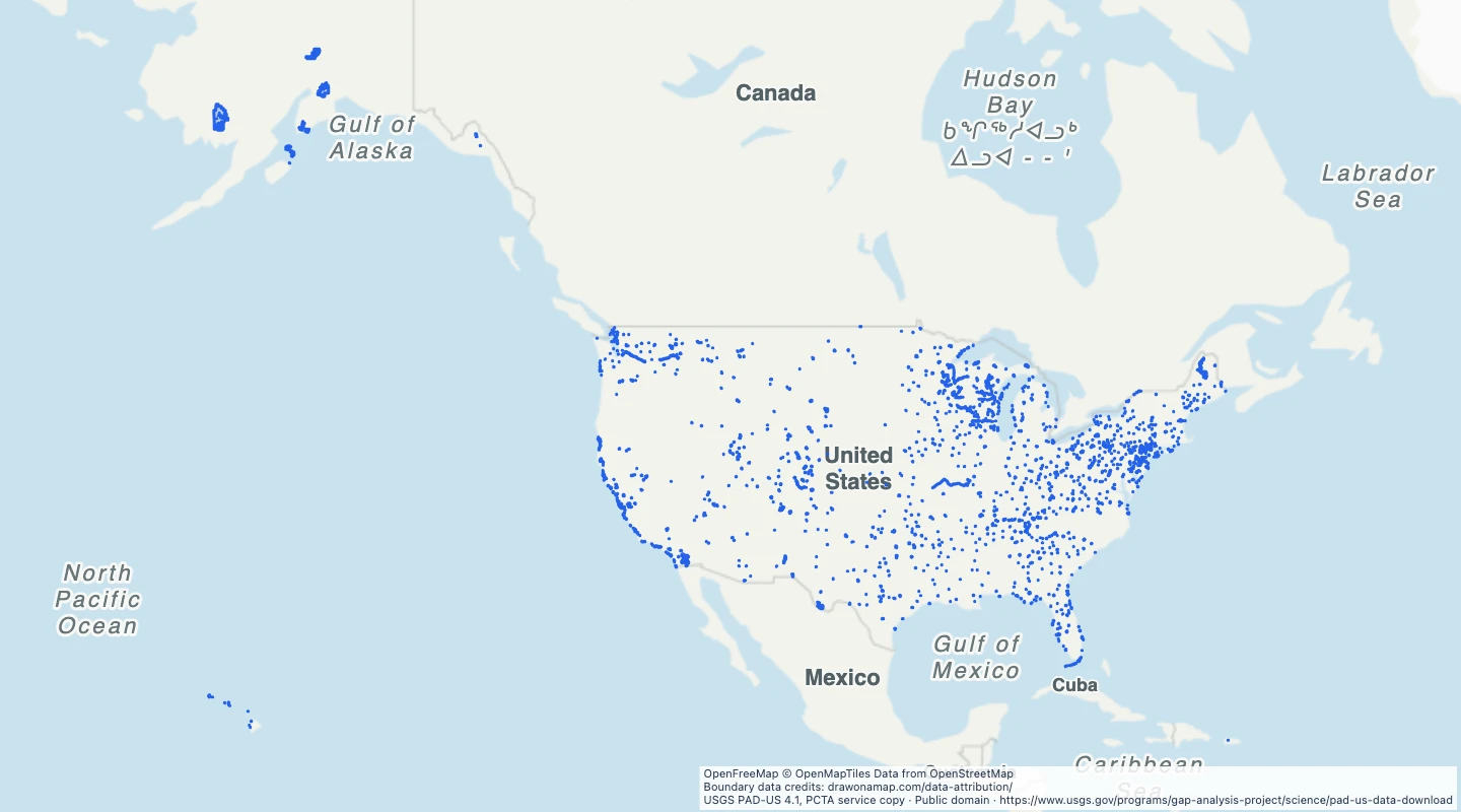 2,934 map features