Waterfalls in Norway map
Explore 3,140 waterfall locations in Norway. Open the map, add routes and notes, or download the GeoJSON data. No account needed to edit.
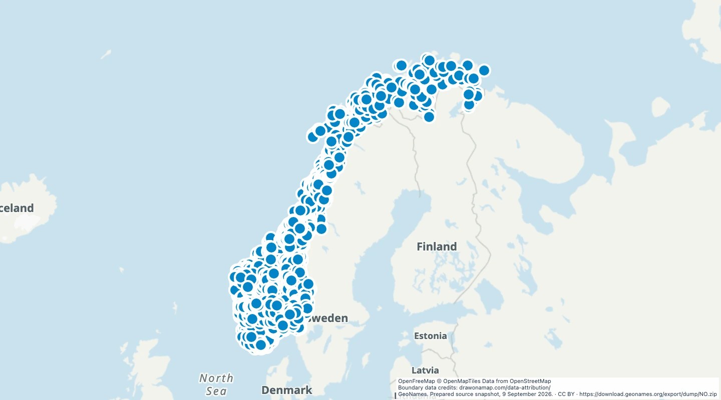 GeoNames. Prepared source snapshot, 9 September 2026.
Explore individual records
Choose a record to open the map at its location.
About this dataset
- This map contains 3,140 GeoNames waterfall records for Norway. Each record has the feature code FLLS and a point location.
- This is a selection of recorded locations, not a complete count of waterfalls in Norway. Names can occur more than once at different locations.
- The data does not include waterfall heights, walking routes, opening hours, or visitor access. Check local information before a visit.
GeoJSON download details
The download includes all 3,140 features as points. Coordinates use longitude and latitude in WGS84.
The preparation date is when we prepared this dataset. Read the source notes for the dates covered by the data.
GeoJSON fields 6
name- Waterfall name recorded by GeoNames.
geonames_id- Stable GeoNames record ID.
country- Two-letter country code.
feature_code- GeoNames feature code. FLLS means waterfalls.
source_url- Link to the GeoNames record.
color- Default marker colour for this map.
 Draw on a Map
 114 map features