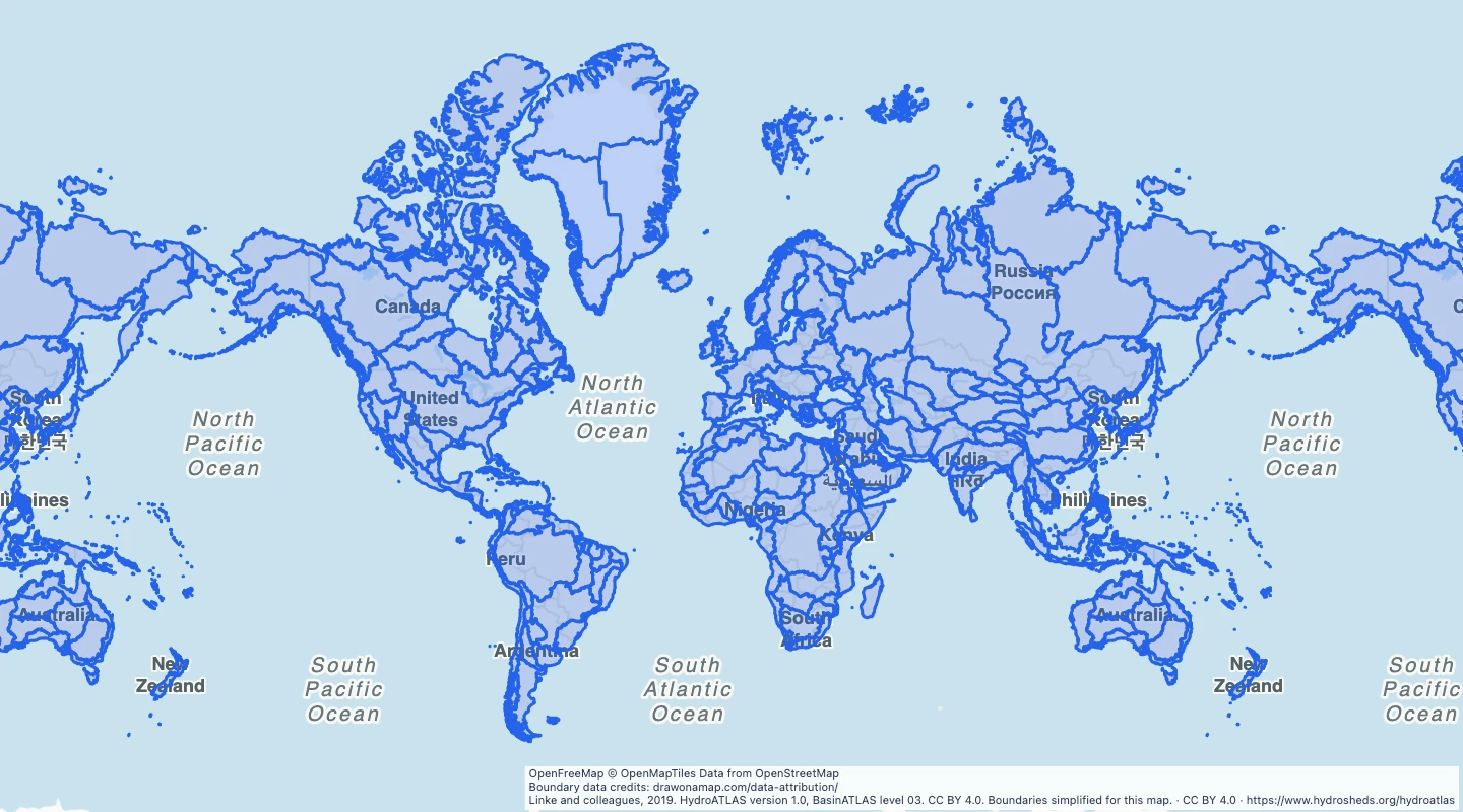
Explore 292 major watershed divisions from BasinATLAS level 03. Compare global drainage areas and trace their source basin identifiers.
Linke and colleagues, 2019. HydroATLAS version 1.0, BasinATLAS level 03. CC BY 4.0. Boundaries simplified for this map.
About this dataset
This map includes all 292 BasinATLAS level 03 basin records across all nine source regions. Antarctica is not included.
Level 03 is a broad watershed division in the Pfafstetter hierarchy. It can contain connected sub-basins and coastal drainage groups rather than one named river basin.
Each label uses the original basin identifier because this source does not supply river-basin names. Basin IDs and downstream IDs remain unchanged.
Use the areas to compare drainage regions and source basin areas. The shapes are simplified to a tolerance of 0.03 degrees, so small boundary details can be absent.
The source is HydroATLAS version 1.0, published in 2019. This map was prepared on 15 September 2026.
These modelled areas are not current flood zones. Elevation source quality varies, especially north of 60 degrees latitude. Use original source data for detailed hydrological analysis.
 Draw on a Map
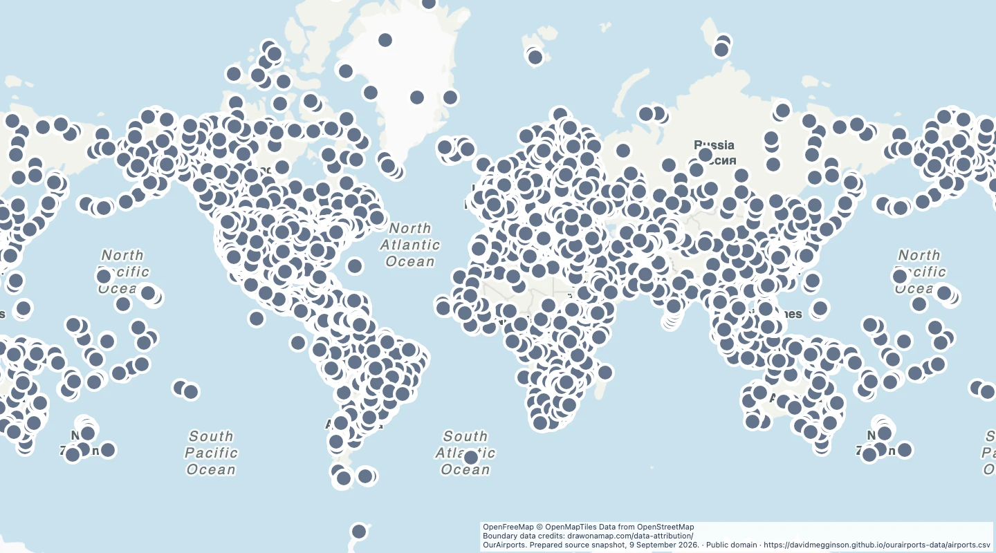 13,507 map features