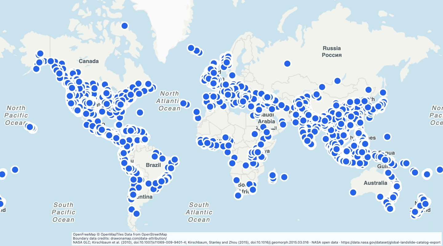
 NASA GLC; Kirschbaum et al. (2010), doi:10.1007/s11069-009-9401-4; Kirschbaum, Stanley and Zhou (2015), doi:10.1016/j.geomorph.2015.03.016
About this dataset
- This is a historical GLC archive, not the current COOLR service. The selected event dates are in 2007 through 2017.
- The catalogue compiles reported landslides. It can miss events where reporting or source access was limited.
- Each point is a reported event location. Use the location accuracy field before you compare sites at a local scale.
- Use date, category, and trigger to group historical events. The points do not define landslide risk zones.
- The archive was retrieved on 15 September 2026. Text descriptions and photographs from external reports are not included.
GeoJSON download details
The download includes all 9,334 features as points. Coordinates use longitude and latitude in WGS84.
The preparation date is when we prepared this dataset. Read the source notes for the dates covered by the data.
GeoJSON fields 8
name- Source event location label.
event_id- GLC event identifier.
event_date- Reported event date.
country- Country reported in the catalogue.
category- Source landslide category.
trigger- Reported event trigger.
location_accuracy- Source location accuracy class.
source_url- Reference report linked by the catalogue.
 Draw on a Map
 13,507 map features