 NOAA NCEI / World Data Service
About this dataset
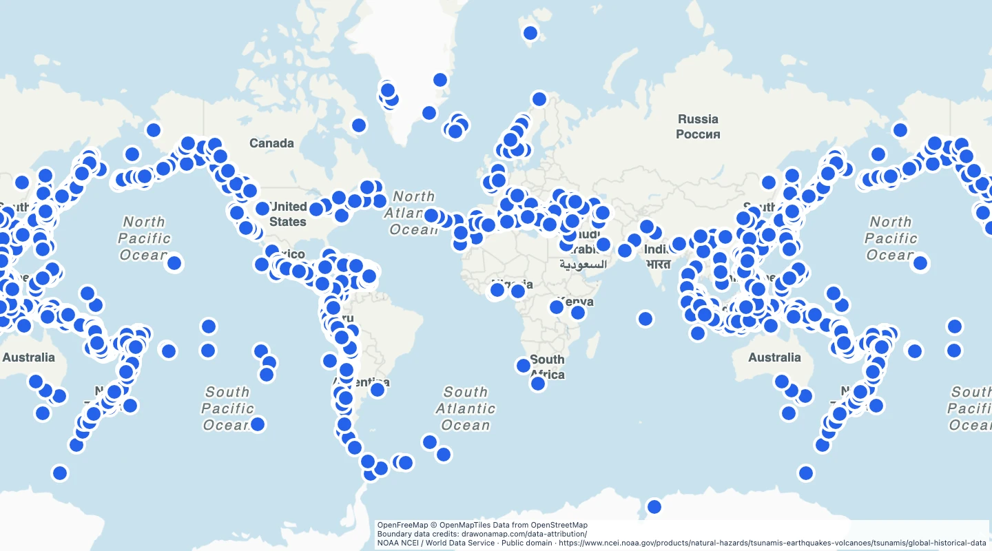
- Each point is a source event location. Coastal wave observations and runup sites are not included.
- Reported events range from very doubtful to definite. Inland disturbances and entries marked erroneous are excluded.
- Use event year and cause to add historical context to a map.
- Locations and dates can be uncertain for older events. These records do not define present tsunami hazard zones.
- The source was retrieved on 15 September 2026 and filtered to 1900 through 2025.
GeoJSON download details
The download includes all 1,455 features as points. Coordinates use longitude and latitude in WGS84.
The preparation date is when we prepared this dataset. Read the source notes for the dates covered by the data.
GeoJSON fields 6
name- Source event location name.
event_id- NOAA event identifier.
year- Event year.
validity- NOAA confidence class for the reported tsunami.
cause_code- Source tsunami cause code.
source_url- NOAA source event record.
 Draw on a Map
 13,507 map features