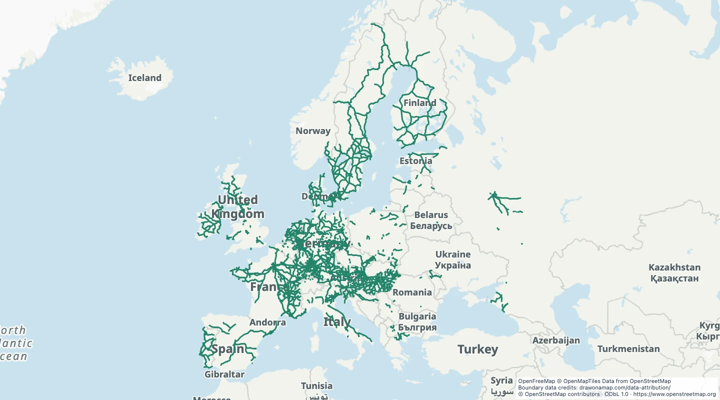
This map contains 4,630 mapped records for European passenger rail network. OpenStreetMap coverage depends on local contributors.
The map includes active rail tracks in the selected European countries only when the source explicitly records passenger or mixed traffic. Sidings, spurs, and yards are excluded. The selected countries are Albania, Andorra, Austria, Belarus, Belgium, Bosnia and Herzegovina, Bulgaria, Croatia, Cyprus, Czechia, Denmark, Estonia, Finland, France, Germany, Greece, Hungary, Iceland, Ireland, Italy, Latvia, Liechtenstein, Lithuania, Luxembourg, Malta, Moldova, Monaco, Montenegro, the Netherlands, North Macedonia, Norway, Poland, Portugal, Romania, Russia, San Marino, Serbia, Slovakia, Slovenia, Spain, Sweden, Switzerland, Ukraine, the United Kingdom, Vatican City, and Kosovo. Only the parts within the stated geographic window are selected. Only records with usable line geometry are included. Coverage includes European countries within 34° to 72° north and 25° west to 45° east. Turkey and land east of this window are not included.
Select a track group to read its name, source fields, and source way count. The source link opens OpenStreetMap. A group can contain several original records.
The source extracts have timestamps from 2026-09-14T23:33:57Z to 2026-09-14T23:39:56Z. The dataset was prepared on 15 September 2026.
Only active rail tracks explicitly tagged for passenger or mixed traffic are included. Ways with the same name, reference, operator, and traffic mode form one track group. A group can have separate sections. Many passenger lines lack the required traffic tag and are absent.
Line and boundary detail is reduced by up to 5e-05 degrees for map display. Use the source for detailed measurements.
 Draw on a Map
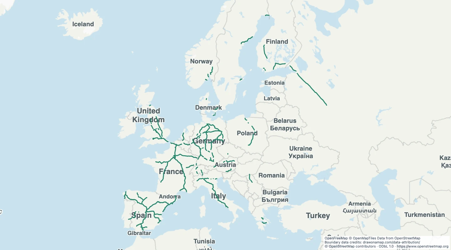 34,438 map features