CREATION_DT- Creation Date. Source field from Office of the Chief Technology Officer / DC GIS.
RECORDATION_DT- Recordation Date. Source field from Office of the Chief Technology Officer / DC GIS.
NARRATIVE- Narrative. Source field from Office of the Chief Technology Officer / DC GIS.
EXPIRATION_DT- Expiration Date. Source field from Office of the Chief Technology Officer / DC GIS.
STATUS- Status. Source field from Office of the Chief Technology Officer / DC GIS.
SQUARE- Square. Source field from Office of the Chief Technology Officer / DC GIS.
SUFFIX- Suffix. Source field from Office of the Chief Technology Officer / DC GIS.
LOT- Lot. Source field from Office of the Chief Technology Officer / DC GIS.
LOT_TYPE- Lot Type. Source field from Office of the Chief Technology Officer / DC GIS.
COMPUTED_AREA_SF- Computed Area Square Footage. Source field from Office of the Chief Technology Officer / DC GIS.
SURVEYED_AREA_SF- Surveyed Area Square Footage. Source field from Office of the Chief Technology Officer / DC GIS.
IS_REAR_OF- Is Rear Of. Source field from Office of the Chief Technology Officer / DC GIS.
BLDG_NUM- Building Number. Source field from Office of the Chief Technology Officer / DC GIS.
BLDG_NUM_EXT- Building Number Extent. Source field from Office of the Chief Technology Officer / DC GIS.
BLDG_NUM_END_RANGE- Building Number End Range. Source field from Office of the Chief Technology Officer / DC GIS.
BLDG_EXT_END_RANGE- Building Extent End Range. Source field from Office of the Chief Technology Officer / DC GIS.
STREET_NAME- Street Name. Source field from Office of the Chief Technology Officer / DC GIS.
STREET_TYPE- Street Type. Source field from Office of the Chief Technology Officer / DC GIS.
QUADRANT- Quadrant. Source field from Office of the Chief Technology Officer / DC GIS.
ZIP5- Zip 5. Source field from Office of the Chief Technology Officer / DC GIS.
ZIP4- Zip 4. Source field from Office of the Chief Technology Officer / DC GIS.
RECORD_AREA_SF- Record Area Square Footage. Source field from Office of the Chief Technology Officer / DC GIS.
CONV_TOLERANCE_TYPE- Conversion Tolerance Type. Source field from Office of the Chief Technology Officer / DC GIS.
CONV_TOLERANCE_VALUE- Conversion Tolerance Value. Source field from Office of the Chief Technology Officer / DC GIS.
CONV_TOLERANCE_RESOLUTION- Conversion Tolerance Resolution. Source field from Office of the Chief Technology Officer / DC GIS.
APPROPRIATIONSPLYID- Appropriations Polygon Identifier. Source field from Office of the Chief Technology Officer / DC GIS.
PARCELSPLYID- Parcels Polygon Identifier. Source field from Office of the Chief Technology Officer / DC GIS.
SQUAREPLYID- Square Polygon Identifier. Source field from Office of the Chief Technology Officer / DC GIS.
KILL_DT- Kill Date. Source field from Office of the Chief Technology Officer / DC GIS.
SSL- Square Suffix Lot. Source field from Office of the Chief Technology Officer / DC GIS.
COL- Common Ownership Lot. Source field from Office of the Chief Technology Officer / DC GIS.
MAR_ID- Master Address Repository. Source field from Office of the Chief Technology Officer / DC GIS.
CREATED_DATE- CREATED_DATE. Source field from Office of the Chief Technology Officer / DC GIS.
LAST_EDITED_DATE- LAST_EDITED_DATE. Source field from Office of the Chief Technology Officer / DC GIS.
GLOBALID- GLOBALID. Source field from Office of the Chief Technology Officer / DC GIS.
OBJECTID- OBJECTID. Source field from Office of the Chief Technology Officer / DC GIS.
Shape__Length- LEN. Source field from Office of the Chief Technology Officer / DC GIS.
Shape__Area- AREA. Source field from Office of the Chief Technology Officer / DC GIS.
name- Display name copied from the source name field.
 Draw on a Map
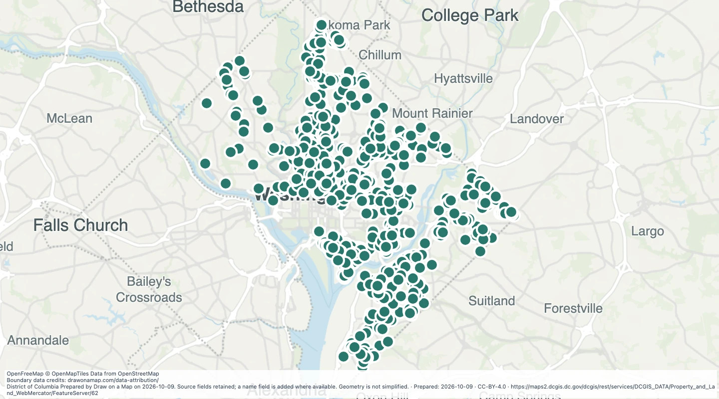 Map features: 923
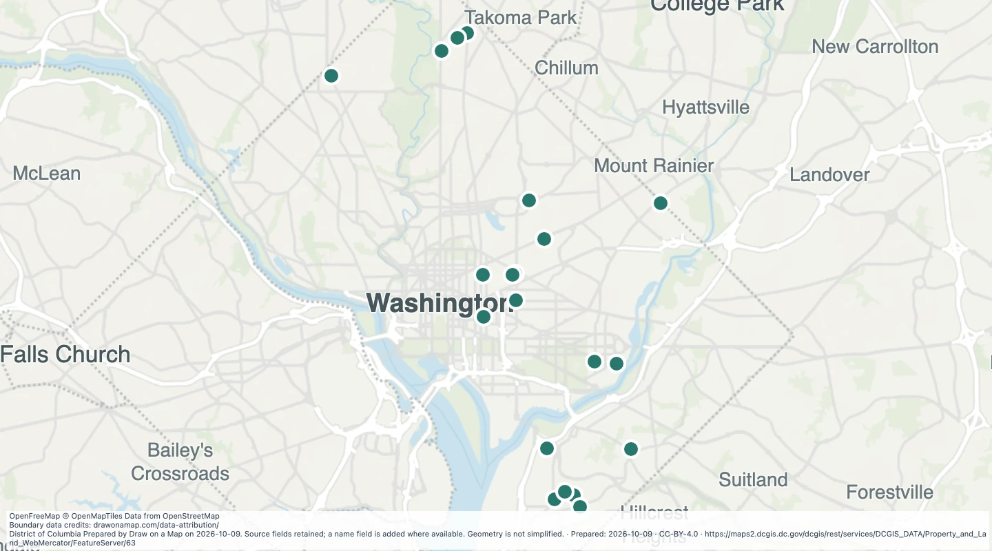 Map features: 21
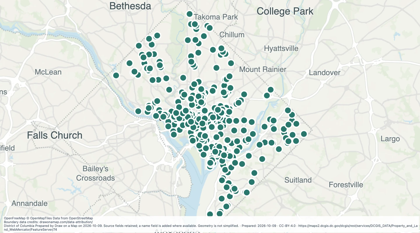 Map features: 783