HOP_PERMIT_NUMBER- Home Occupancy Permit Number. Source field from Office of the Chief Technology Officer / DC GIS.
ISSUE_DATE- Date certificate issued. Source field from Office of the Chief Technology Officer / DC GIS.
ADDRESS- Address of property. Source field from Office of the Chief Technology Officer / DC GIS.
WARD- Ward. Source field from Office of the Chief Technology Officer / DC GIS.
OWNER_FULL_NAME- Full name of property owner. Source field from Office of the Chief Technology Officer / DC GIS.
OWNER_ADDRESS- Address of property owner which may be different than the property, premise, address. Source field from Office of the Chief Technology Officer / DC GIS.
BUSINESS_ENTITY_TYPE- Business Entity Type. Source field from Office of the Chief Technology Officer / DC GIS.
BUSINESS_ENTITY- Business Entity. Source field from Office of the Chief Technology Officer / DC GIS.
DESCRIPTION- Description of the business. Source field from Office of the Chief Technology Officer / DC GIS.
BUSINESS_OWNER_TENANT- Applicant type. Source field from Office of the Chief Technology Officer / DC GIS.
BZA_NUMBER- Board of Zoning Adjustment Number. Source field from Office of the Chief Technology Officer / DC GIS.
TOTAL_SQUARE_FOOTAGE- Total Square Footage. Source field from Office of the Chief Technology Officer / DC GIS.
PERCENT_OF_USE- Percent of Use. Source field from Office of the Chief Technology Officer / DC GIS.
SIGN- Whether a size is placed outside the premise. Source field from Office of the Chief Technology Officer / DC GIS.
SIGN_SIZE_AND_NAME- Sign size and name displayed. Source field from Office of the Chief Technology Officer / DC GIS.
NUMBER_OF_EMPLOYEES- Number of Employees. Source field from Office of the Chief Technology Officer / DC GIS.
DAYS_OF_OPERATION- Days of Operation. Source field from Office of the Chief Technology Officer / DC GIS.
HOURS_OF_OPERATION- Hours of Operation. Source field from Office of the Chief Technology Officer / DC GIS.
CONDITION_RESTRICTION- Conditions or restrictions associated with the property. Source field from Office of the Chief Technology Officer / DC GIS.
EXPIRATION_DATE- Permit expiration date. Source field from Office of the Chief Technology Officer / DC GIS.
MAR_ID- Master Address Repository ID. Source field from Office of the Chief Technology Officer / DC GIS.
X_COORDINATE- X Coordinate. Source field from Office of the Chief Technology Officer / DC GIS.
Y_COORDINATE- Y Coordinate. Source field from Office of the Chief Technology Officer / DC GIS.
LATITUDE- Latitude. Source field from Office of the Chief Technology Officer / DC GIS.
LONGITUDE- Longitude. Source field from Office of the Chief Technology Officer / DC GIS.
DCS_LAST_MOD_DTTM- Database Last Modified Date. Source field from Office of the Chief Technology Officer / DC GIS.
OBJECTID- OBJECTID. Source field from Office of the Chief Technology Officer / DC GIS.
name- Display name copied from the source name field.
 Draw on a Map
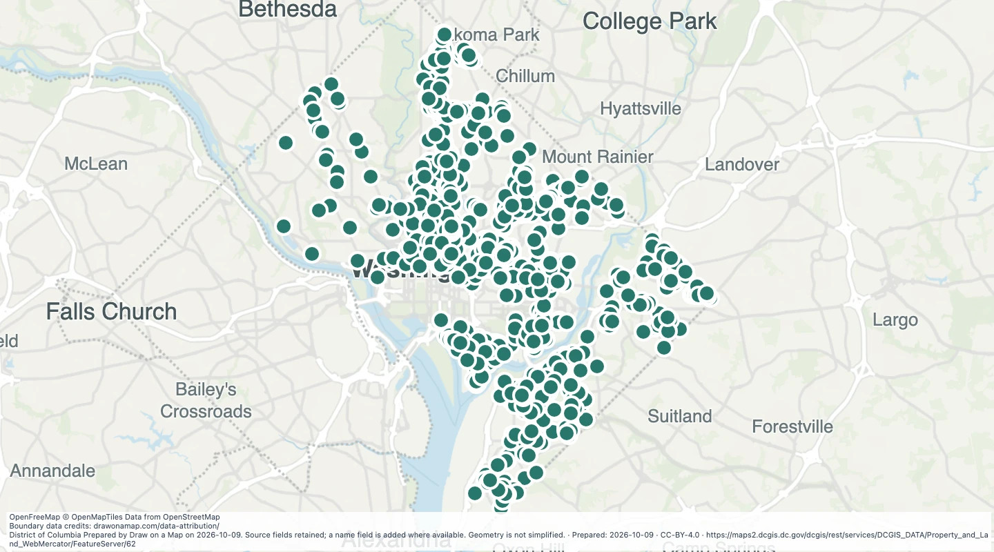 Map features: 923
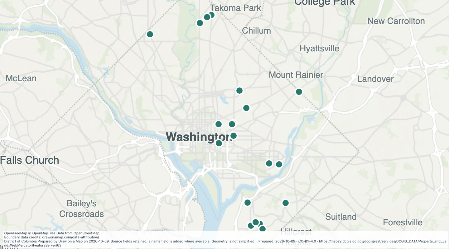 Map features: 21
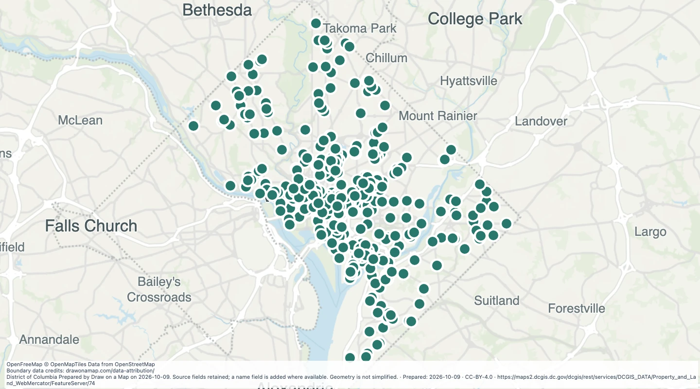 Map features: 783