RECORDATION_DT- Recordation Date. Source field from Office of the Chief Technology Officer / DC GIS.
NARRATIVE- Narrative. Source field from Office of the Chief Technology Officer / DC GIS.
STATUS- Status. Source field from Office of the Chief Technology Officer / DC GIS.
SQUARE- Square. Source field from Office of the Chief Technology Officer / DC GIS.
SUFFIX- Suffix. Source field from Office of the Chief Technology Officer / DC GIS.
KILL_DT- Kill Date. Source field from Office of the Chief Technology Officer / DC GIS.
CREATEDBYRECORD- Created By Record. Source field from Office of the Chief Technology Officer / DC GIS.
RETIREDBYRECORD- Retired By Record. Source field from Office of the Chief Technology Officer / DC GIS.
DIRECTION- Direction. Source field from Office of the Chief Technology Officer / DC GIS.
DISTANCE- Distance. Source field from Office of the Chief Technology Officer / DC GIS.
RADIUS- Radius. Source field from Office of the Chief Technology Officer / DC GIS.
ARCLENGTH- Arc Length. Source field from Office of the Chief Technology Officer / DC GIS.
RADIUS2- Radius2. Source field from Office of the Chief Technology Officer / DC GIS.
COGOTYPE- COGO Type. Source field from Office of the Chief Technology Officer / DC GIS.
ISCOGOGROUND- Is COGO Ground. Source field from Office of the Chief Technology Officer / DC GIS.
ROTATION- Rotation. Source field from Office of the Chief Technology Officer / DC GIS.
SCALE- Scale. Source field from Office of the Chief Technology Officer / DC GIS.
LOT- Lot. Source field from Office of the Chief Technology Officer / DC GIS.
RES- Reservation. Source field from Office of the Chief Technology Officer / DC GIS.
PAR- Parcel. Source field from Office of the Chief Technology Officer / DC GIS.
TYPE- Type. Source field from Office of the Chief Technology Officer / DC GIS.
RECORD_BEARING_DIR- Record Bearing Direction. Source field from Office of the Chief Technology Officer / DC GIS.
COMPUTED_LENGTH_FT- Computed Length Feet. Source field from Office of the Chief Technology Officer / DC GIS.
COMPUTED_BEARING_DIR- Computed Bearing Direction. Source field from Office of the Chief Technology Officer / DC GIS.
COMPUTED_BEARING_ANGLE_DD- Computed Bearing Angle Decimal Degrees. Source field from Office of the Chief Technology Officer / DC GIS.
COMPUTED_DELTA_ANGLE_DD- Computed Delta Angle Decimal Degrees. Source field from Office of the Chief Technology Officer / DC GIS.
COMPUTED_ARC_LENGTH_FT- Computed Arc Length Feet . Source field from Office of the Chief Technology Officer / DC GIS.
COMPUTED_RADIUS_FT- Computed Radius Feet. Source field from Office of the Chief Technology Officer / DC GIS.
OFFSET- Offset. Source field from Office of the Chief Technology Officer / DC GIS.
COGOACCURACY- COGO Accuracy. Source field from Office of the Chief Technology Officer / DC GIS.
CREATED_DATE- Created Date. Source field from Office of the Chief Technology Officer / DC GIS.
LAST_EDITED_DATE- Modified Date. Source field from Office of the Chief Technology Officer / DC GIS.
GLOBALID- GlobalID. Source field from Office of the Chief Technology Officer / DC GIS.
OBJECTID- OBJECTID. Source field from Office of the Chief Technology Officer / DC GIS.
name- Display name copied from the source name field.
 Draw on a Map
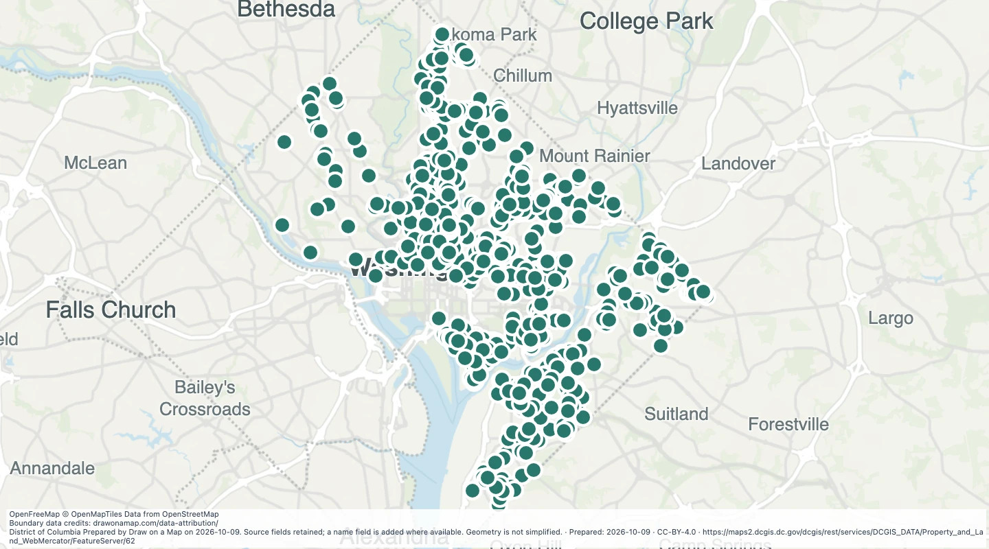 Map features: 923
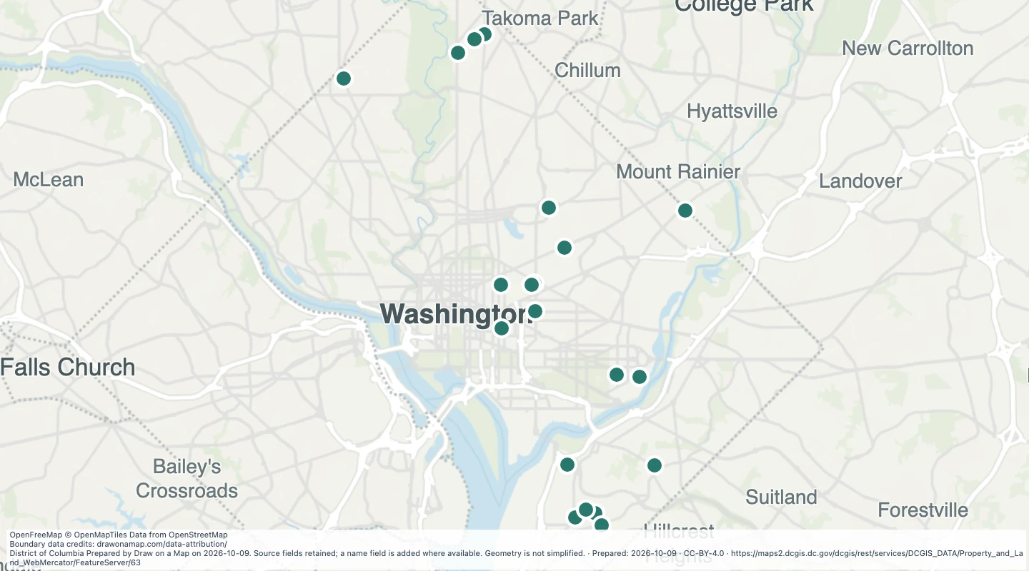 Map features: 21
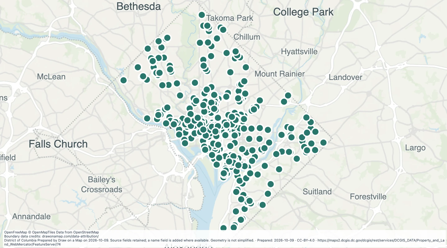 Map features: 783