Terrestrial ecoregions worldwide
Explore the RESOLVE 2017 terrestrial ecoregions. Compare ecological regions, biomes, and realms without using country borders.
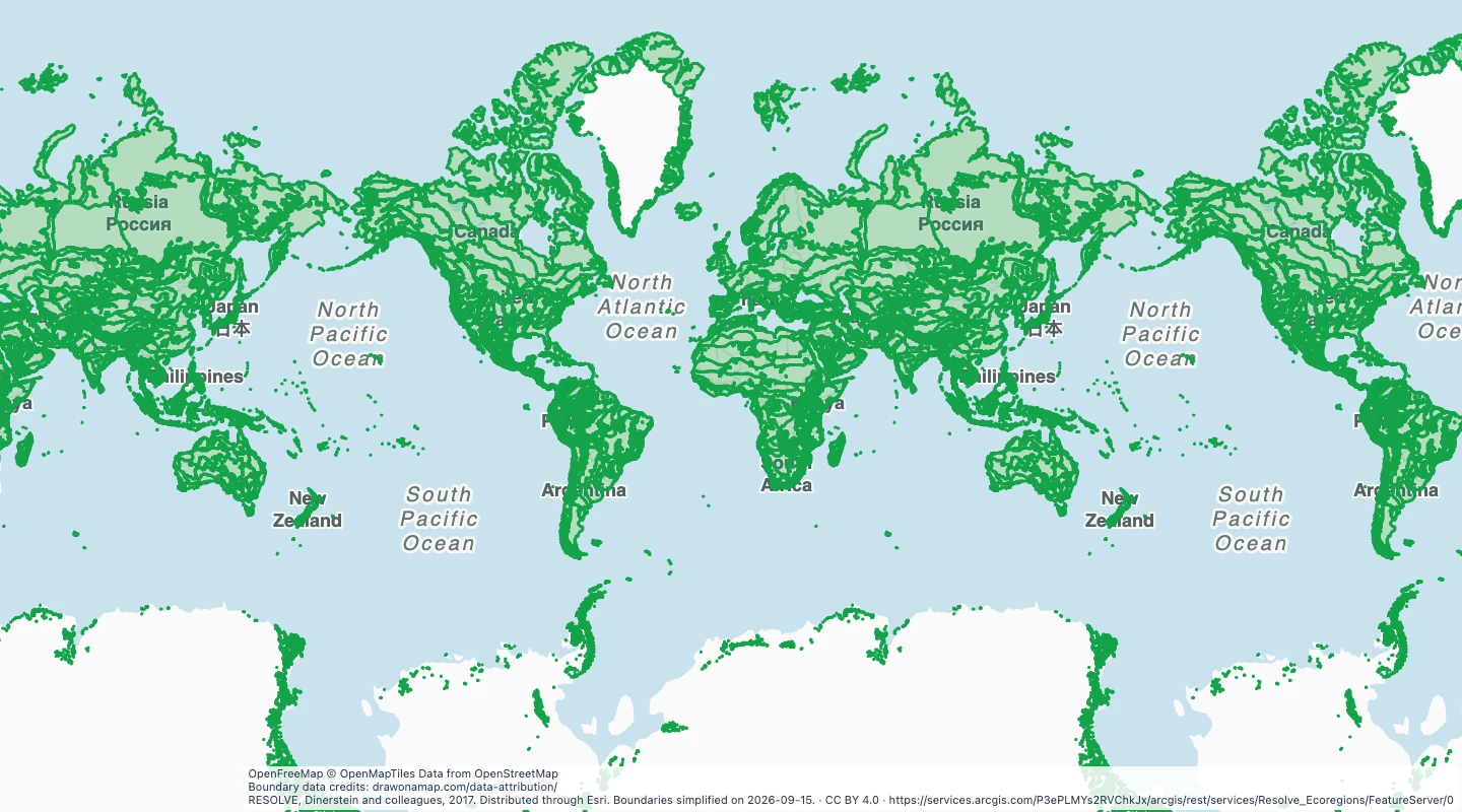 RESOLVE, Dinerstein and colleagues, 2017. Distributed through Esri. Boundaries simplified on 2026-09-15.
About this dataset
- This dataset uses the 846 terrestrial ecoregions in RESOLVE 2017. The unclassified Rock and Ice area is excluded.
- Ecoregions group areas with related ecological communities. They do not follow national borders.
- Open the map to colour ecological regions and compare them with countries or your own study areas.
- Shapes are simplified for a world map. Small islands and narrow boundary details can be reduced.
- The standard map view ends near 85 degrees north and south. The download retains all source coordinates, including polar areas.
GeoJSON download details
The download includes all 846 features as area groups, areas. Coordinates use longitude and latitude in WGS84.
The preparation date is when we prepared this dataset. Read the source notes for the dates covered by the data.
GeoJSON fields 4
name- Ecoregion name.
ecoregion_id- RESOLVE ecoregion identifier.
biome- Biome containing the ecoregion.
realm- Biogeographic realm.
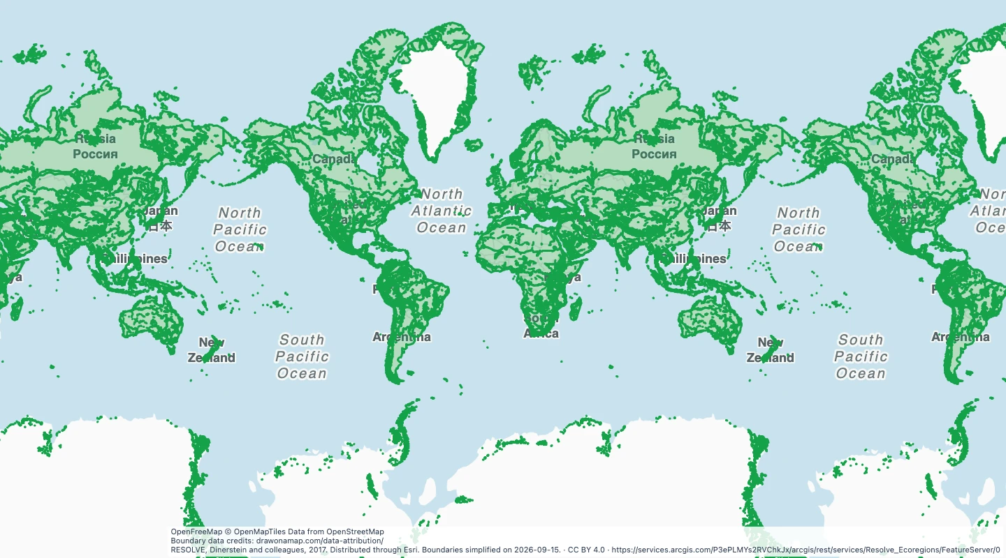
 Draw on a Map
 14 map features