 National Park Service
About this dataset
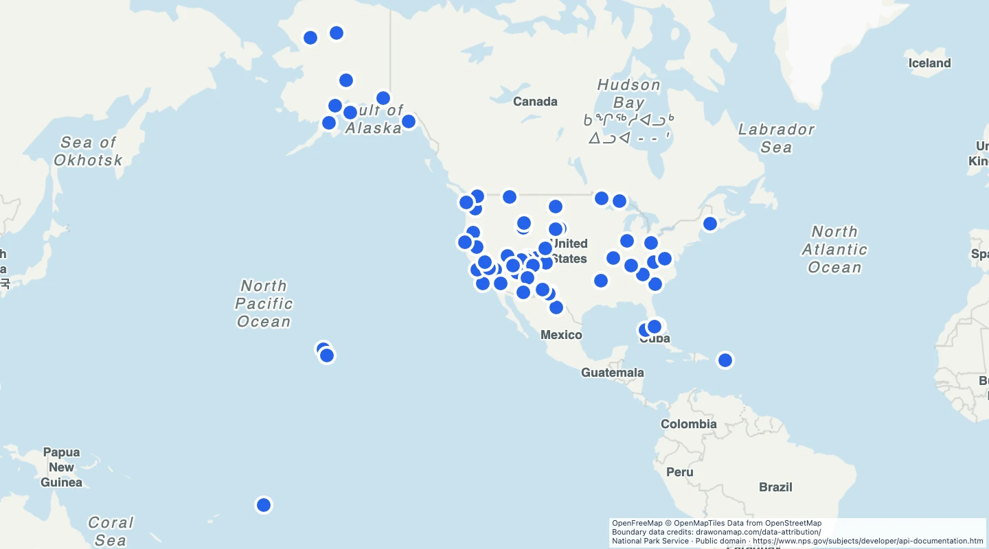
- The 62 source records cover 63 national parks. Sequoia and Kings Canyon share one source record.
- The points are park reference locations. They are not entrances or complete park boundaries.
- Use park codes and names to label parks or plan a group of visits.
- The source list was retrieved on 15 September 2026.
- Check each park website for access, closures, fees, and permits.
GeoJSON download details
The download includes all 62 features as points. Coordinates use longitude and latitude in WGS84.
The preparation date is when we prepared this dataset. Read the source notes for the dates covered by the data.
GeoJSON fields 5
name- Official full park name.
park_code- National Park Service park code.
designation- Official type of park unit.
states- State abbreviations listed by the source.
source_url- Official park page.
 Draw on a Map
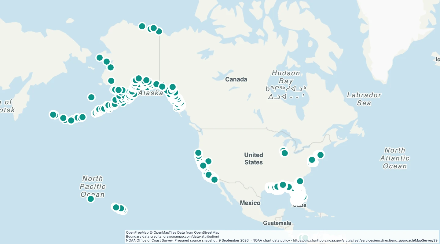 3,259 map features