 Draw on a Map
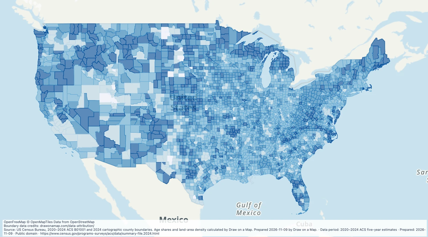 Map features: 3,144
US county population and age, 2020–2024
2020–2024 ACS five-year estimates
US Census Bureau, American Community Survey
Prepared
Explore official wildlife-refuge boundary records and add routes, sites and conservation notes.
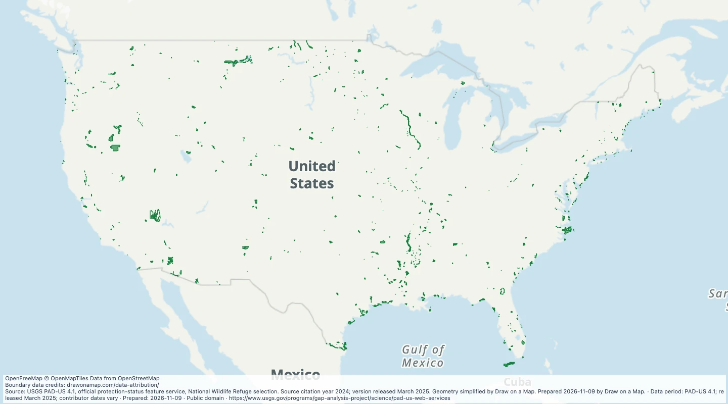
Search or filter the records to update the map, table, and selected download.
All records remain available when you pan or zoom to other areas.
Loading records from the map preview…
US Geological Survey, Gap Analysis Project
Licence: Public domain
The download includes all 684 features as area groups, areas. Coordinates use longitude and latitude in WGS84.
The preparation date is when we prepared this dataset. Read the source notes for the dates covered by the data.
namesource_iddesignationcategoryfeature_classgap_statusiucn_categorypublic_access_codemanager_typemanager_namesource_stateboundary_namesource_gis_acresvalue_rangeMap features: 3,1442020–2024 ACS five-year estimates
US Census Bureau, American Community Survey
Prepared
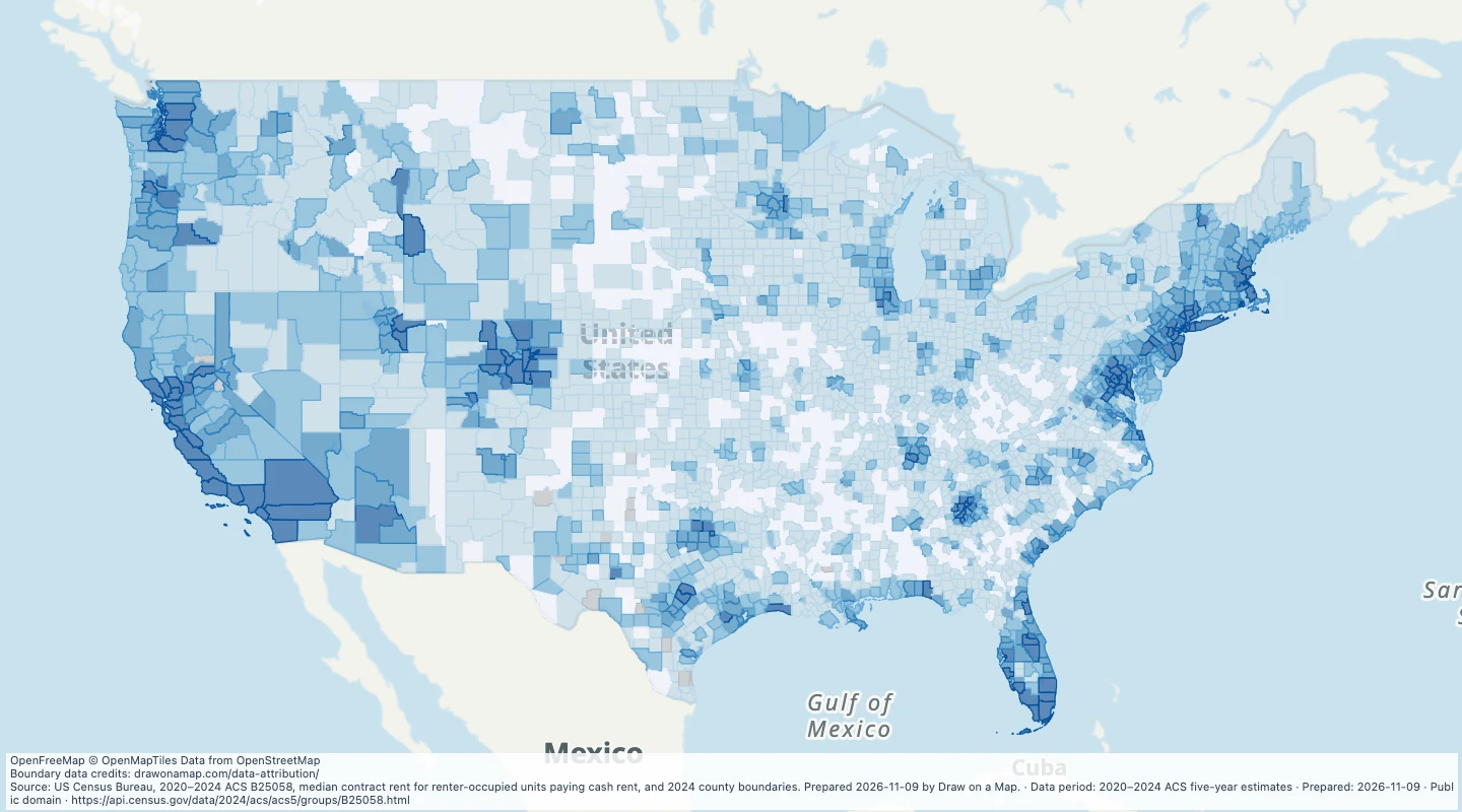 Map features: 3,144
2020–2024 ACS five-year estimates
US Census Bureau, American Community Survey
Prepared
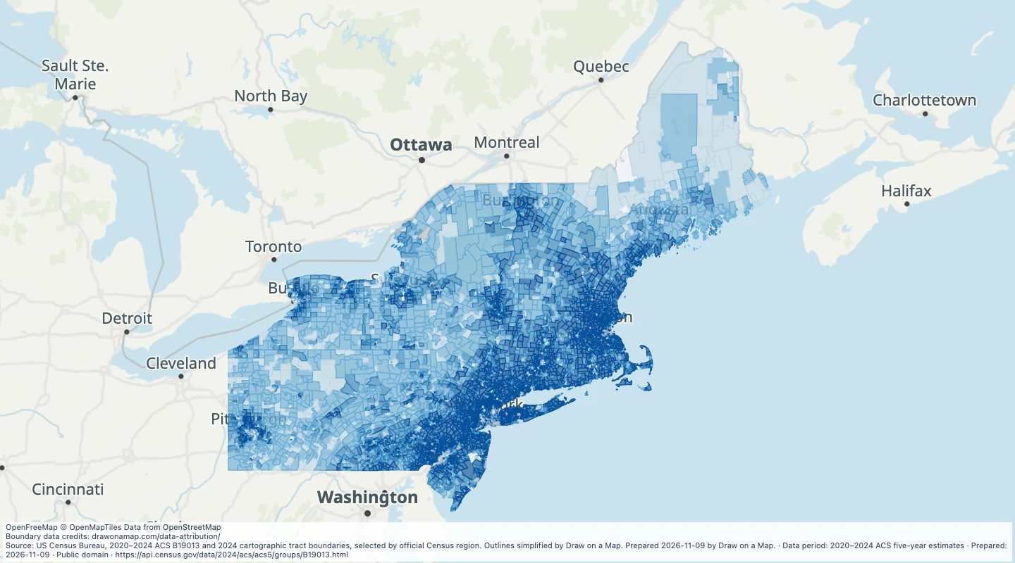 Map features: 14,742
2020–2024 ACS five-year estimates
US Census Bureau, American Community Survey
Prepared
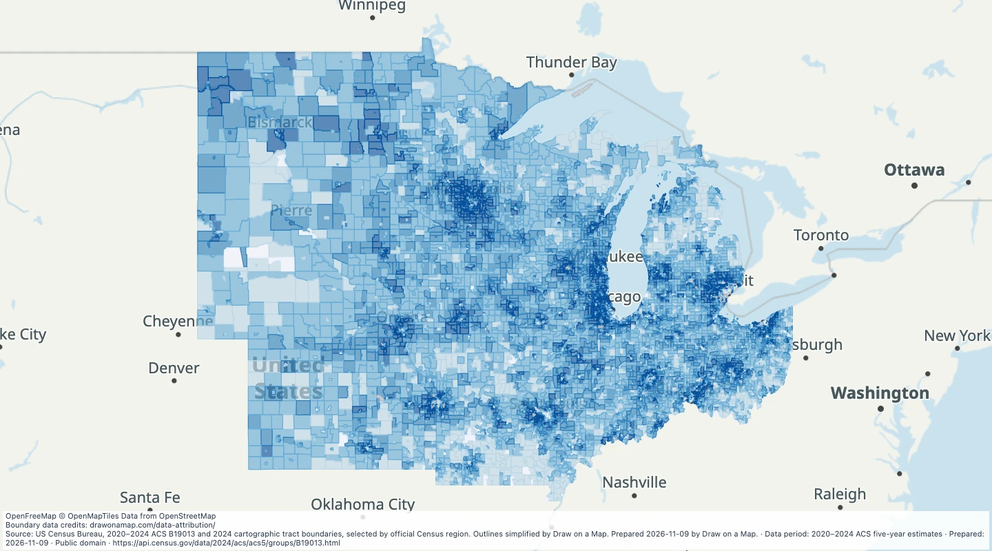 Map features: 18,595
2020–2024 ACS five-year estimates
US Census Bureau, American Community Survey
Prepared
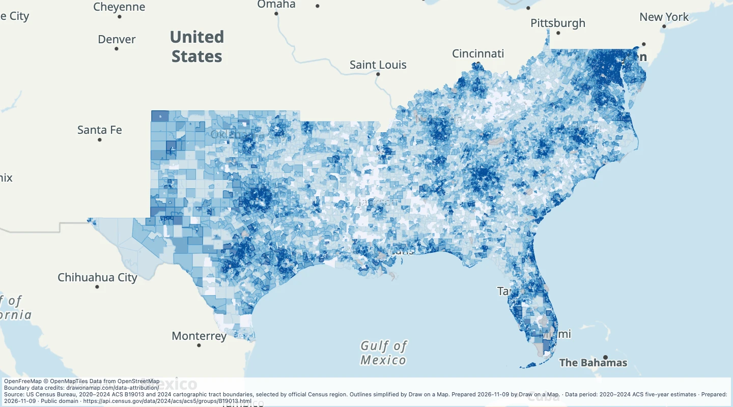 Map features: 32,272
2020–2024 ACS five-year estimates
US Census Bureau, American Community Survey
Prepared
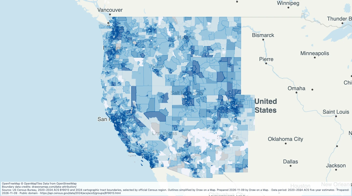 Map features: 18,806
2020–2024 ACS five-year estimates
US Census Bureau, American Community Survey
Prepared