Skip to content

US South census-tract household income, 2020–2024

Compare median household income in smaller Census areas across the US South region, then add your own locations and areas.
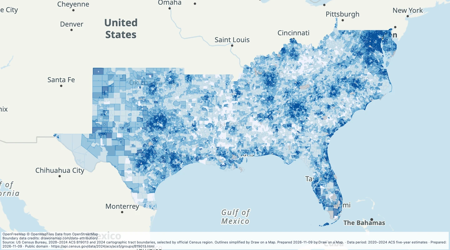
Preview of US South census-tract household income, 2020–2024
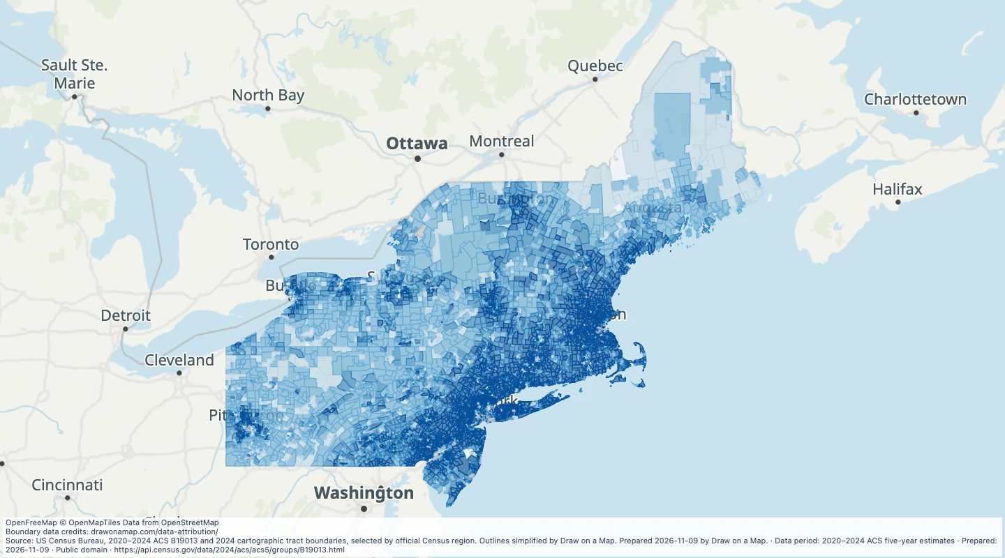
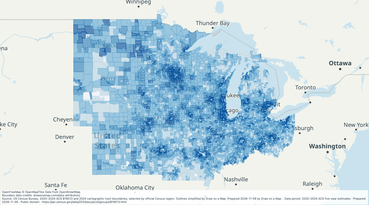
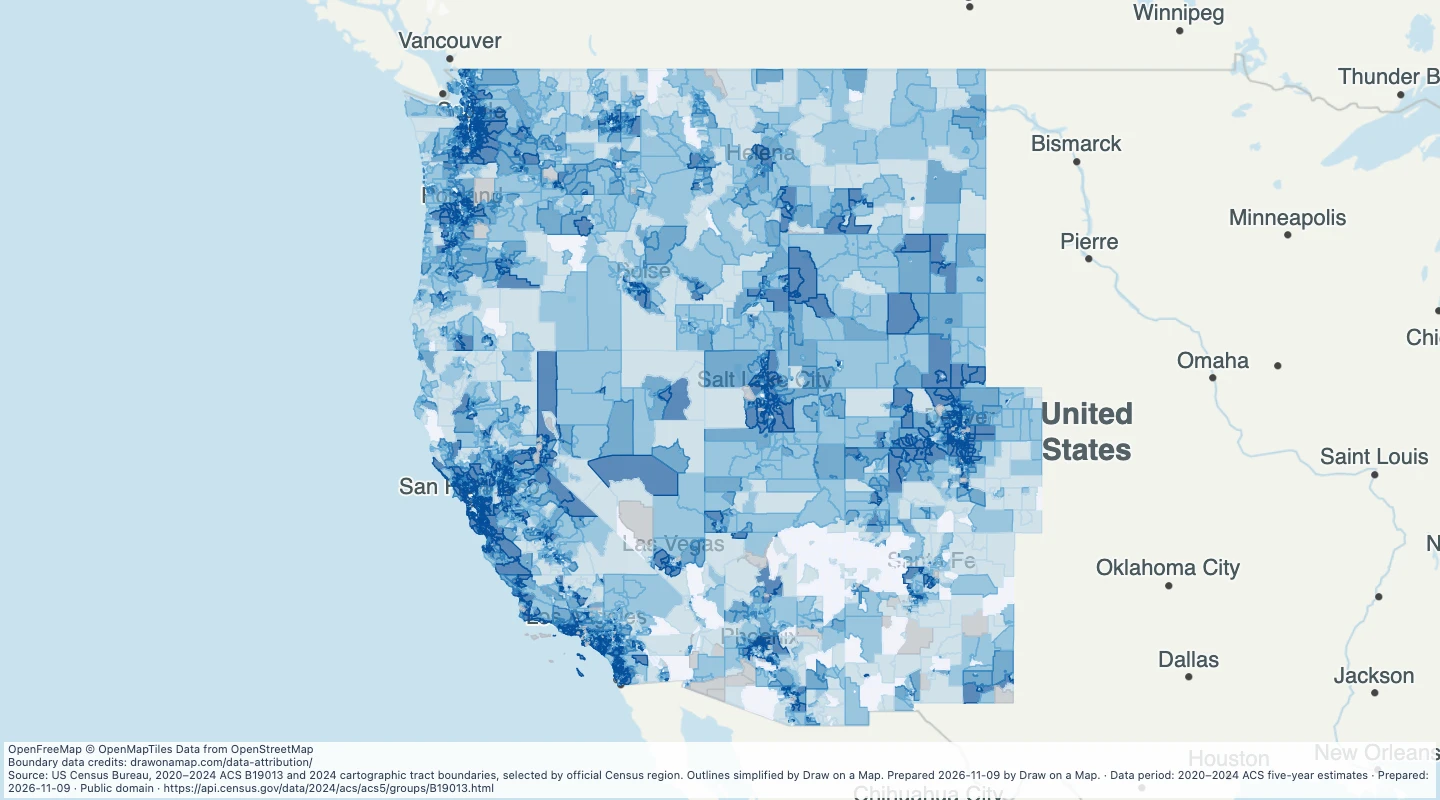
Source: US Census Bureau, 2020–2024 ACS B19013 and 2024 cartographic tract boundaries, selected by official Census region. Outlines simplified by Draw on a Map. Prepared 2026-11-09 by Draw on a Map.

Inspect and select records

Search or filter the records to update the map, table, and selected download.

All records remain available when you pan or zoom to other areas.

Loading records from the map preview…

Open selected records
View record table
Choose table fields

About this dataset

  • Coverage is the 50 states and the District of Columbia. Puerto Rico and other territories are excluded.
  • These are 2020–2024 ACS five-year estimates in 2024 Census geography. They are not counts or prices measured on one day.
  • Census 2024 cartographic geometry is transformed from NAD83 to WGS84 and simplified for display. Values describe complete source areas, not an arbitrary drawn part.
  • This layer contains every selected census tract in the official South Census region. The four regional layers together cover the 50 states and DC without taking a sample.
  • The measure is median household income in 2024 inflation-adjusted US dollars, not mean salary, net personal income or a value for each household.
  • Source 90% margins of error and unavailable tokens remain. A 250001 marker is an estimate of $250,000 or more; 2499 means below $2,500. The named median field is null for those bounds.
  • Small-area survey estimates can have large uncertainty. Grey means no published value, not zero income. Water-only source tracts without a cartographic outline retain null geometry; all such records have no published income in this snapshot.

Source and licence

US Census Bureau, American Community Survey

Licence: Public domain

GeoJSON download details

The downloads include all 32,272 features as area groups, areas. Coordinates use longitude and latitude in WGS84.

The preparation date is when we prepared this dataset. Read the source notes for the dates covered by the data.

GeoJSON fields 17
name
Census source area name and location.
geoid
Census geographic identifier, preserving leading zeros.
median_household_income_usd
Published median household income in 2024 inflation-adjusted US dollars, null for bounded or unavailable medians.
source_estimate
Original Census numeric estimate, including documented open-ended-category markers; read estimate_status.
source_moe_90
Original 90% margin of error, where published.
estimate_status
Published estimate, a lower/upper bound, or no published estimate.
estimate_lower_bound
Inclusive lower bound for an open-ended source median, otherwise null.
estimate_upper_bound_exclusive
Exclusive upper bound for a bottom-bounded source median, otherwise null.
source_annotations
Unchanged nonnumeric or unavailable source tokens, and numeric sentinel values, keyed by original column.
state_fips
Two-digit state FIPS code.
state
Census state name.
county_fips
Five-digit county or county-equivalent FIPS code.
county
Census county or county-equivalent name.
census_region
Official Census region.
period
Five-year ACS reference period.
has_source_row
Whether the selected ACS table has a row for this area.
value_range
Range or category used for the map colour, not another source measurement.