 Global Energy Monitor
About this dataset
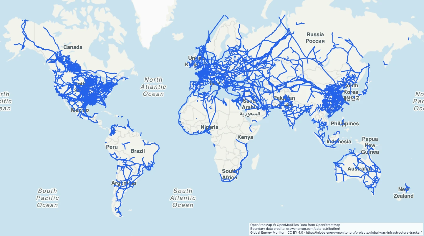
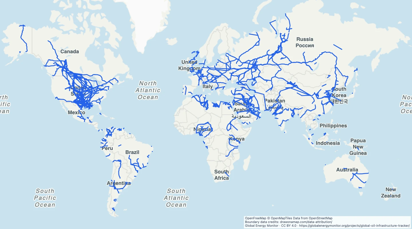
- The view keeps mapped source routes. Projects represented only by endpoints or without a mapped route are excluded.
- Routes include different development and operating states. Use the status field to select a view.
- These routes can be approximate. They do not show a surveyed right of way.
- The route detail is reduced for a world map. Do not use this map to locate buried infrastructure.
- The public source map was retrieved on 15 September 2026. It can differ from the latest formal tracker release.
GeoJSON download details
The download includes all 1,550 features as lines, line groups. Coordinates use longitude and latitude in WGS84.
The preparation date is when we prepared this dataset. Read the source notes for the dates covered by the data.
GeoJSON fields 8
name- Pipeline project name.
source_id- GEM project identifier.
status- Project status in the source.
fuel- Pipeline fuel or product class.
countries- Countries listed for the project.
route_accuracy- Source route accuracy class.
source_date- Date the source record was last updated.
source_url- GEM project reference.
 Draw on a Map
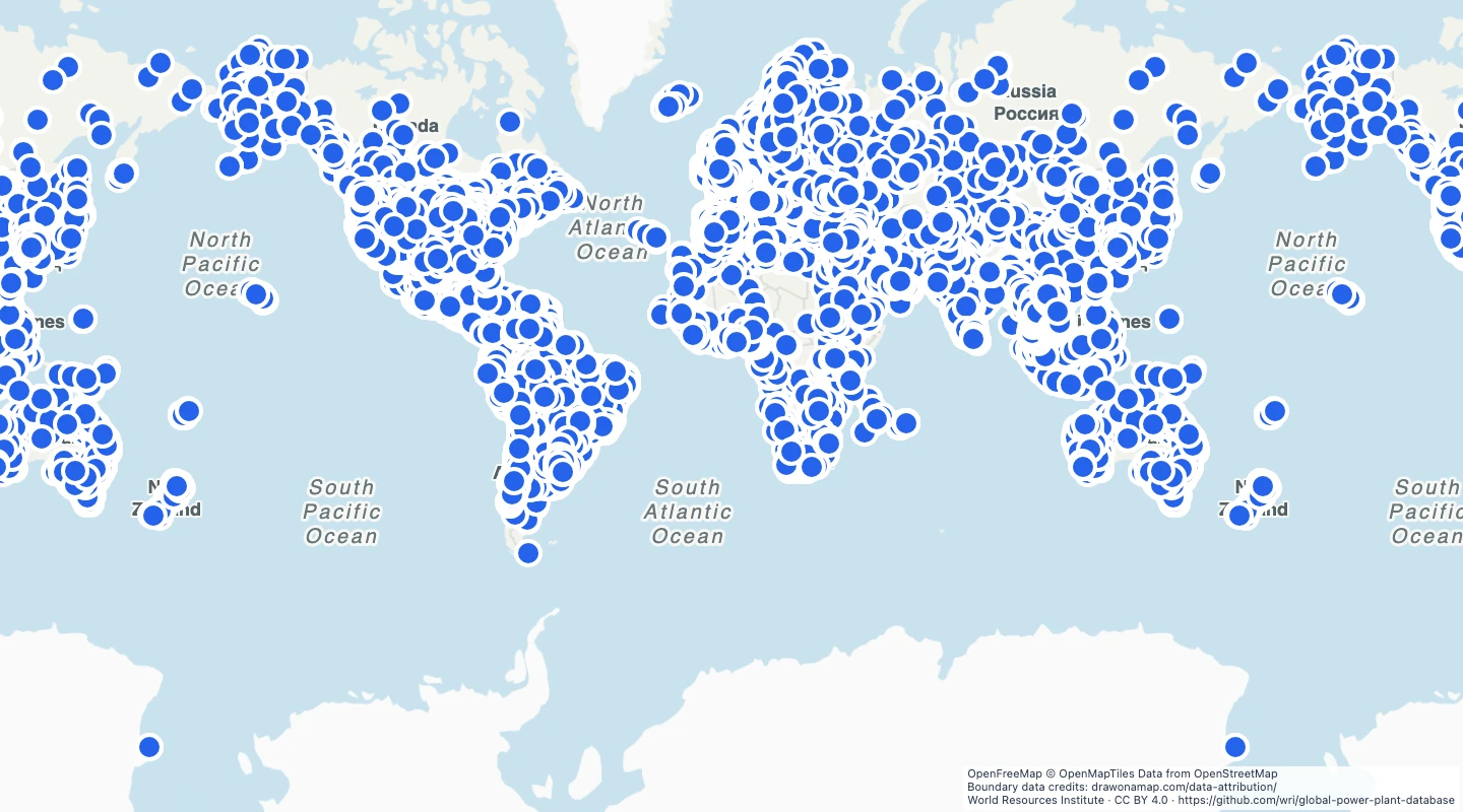 34,936 map features