 Global Energy Monitor
About this dataset
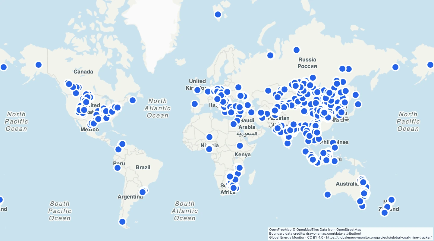
- The view selects mines marked operating in the source map file.
- The tracker focuses on large mines. It is not a complete list of every small mine.
- Each point is a mine location, not the extent of its workings.
- Use the mine type and coal type to group or label the records.
- This is a March 2023 map archive, retrieved on 15 September 2026. It does not show current operating status.
GeoJSON download details
The download includes all 2,808 features as points. Coordinates use longitude and latitude in WGS84.
The preparation date is when we prepared this dataset. Read the source notes for the dates covered by the data.
GeoJSON fields 6
name- Mine name.
status- Source operating status.
mine_type- Surface or underground type as reported.
country- Country name.
coal_type- Reported coal type.
source_url- GEM mine reference page.
 Draw on a Map
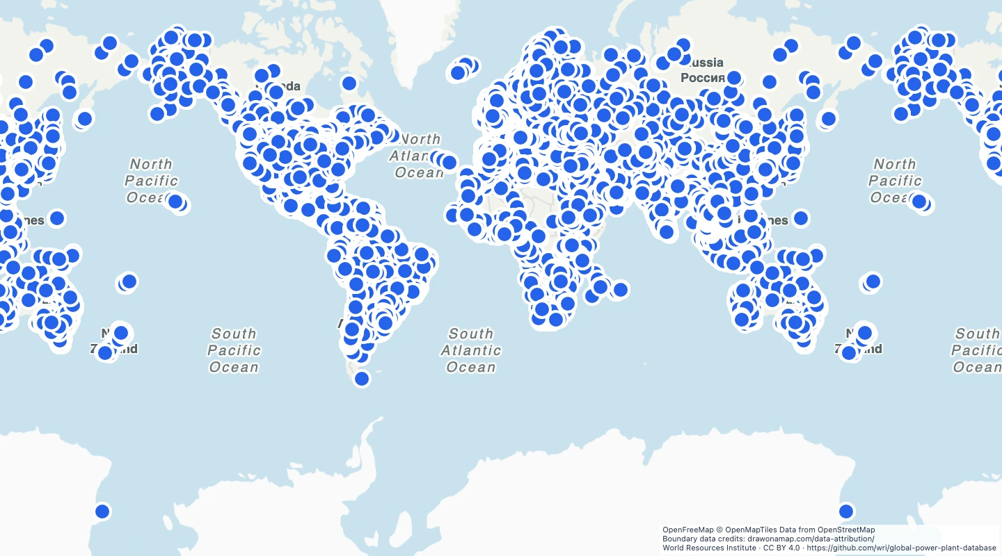 34,936 map features