 Draw on a Map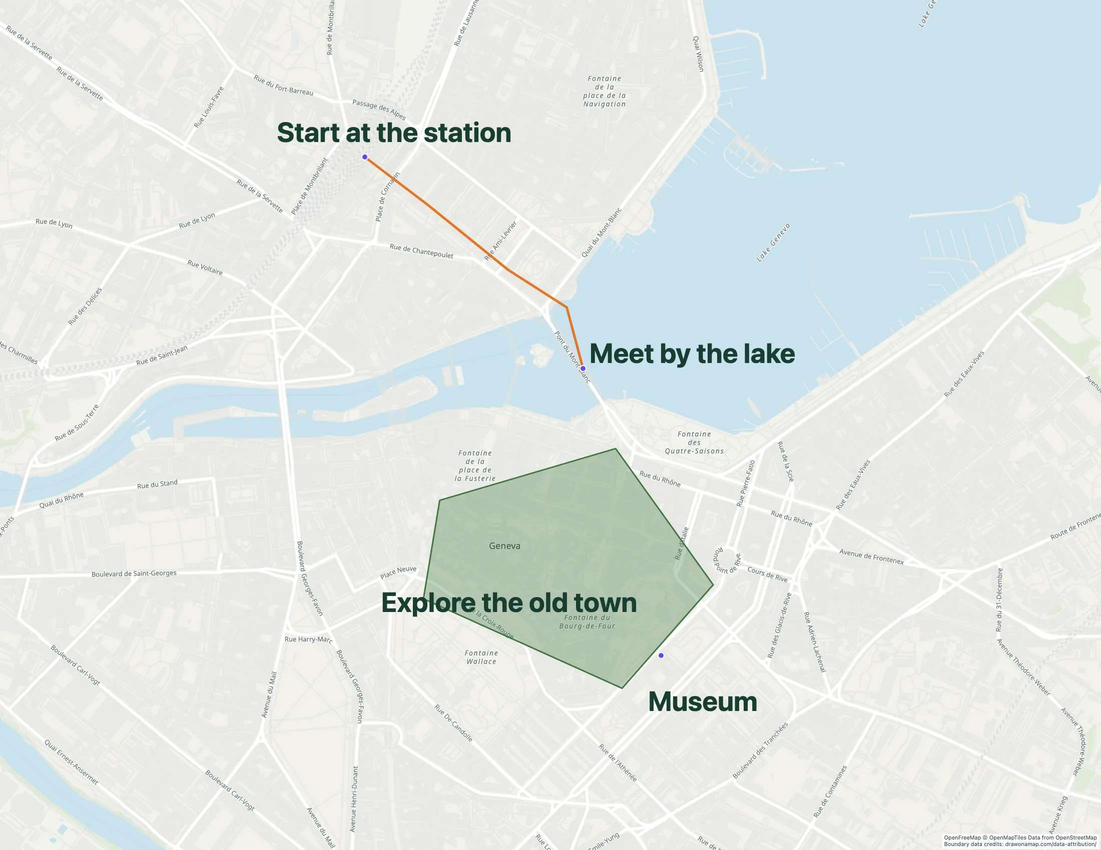
Google Maps itself has no drawing tools. To draw on a Google map, you use Google My Maps, a separate Google product for custom maps. This guide shows how to draw there, and what to do when you need something My Maps does not have, such as arrows, freehand notes, or a map that people can edit without a Google account.
How to draw lines and shapes in Google My Maps
- On a computer, open or create a map in Google My Maps.
- Under the search box, select Draw a line → Add line or shape.
- Click each point of your line or boundary. Double-click to finish a line, or click the first point again to close a shape.
- Name the feature and save it.
Google’s drawing instructions cover driving, walking, and cycling routes as well.
My Maps has no arrow, freehand, or text tool, and you need a Google account to create a map. If you need those things, you can export your map and finish it in Draw on a Map, or start a new one.
Draw the same map without a Google account
- Open a new map and search for your place.
- Pick a line, arrow, polygon, circle, marker, text, or freehand tool and draw what your reader needs to see.
- Select Share and copy the link. The person who opens it does not need an account.
A link shared from an unsaved map is a fixed copy, so later edits do not change it. To keep working on the map later, select Save to account and sign in. Your saved maps are listed under My maps in the top-right corner. This is Draw on a Map’s own library, not Google My Maps.
Move a Google My Maps map into Draw on a Map
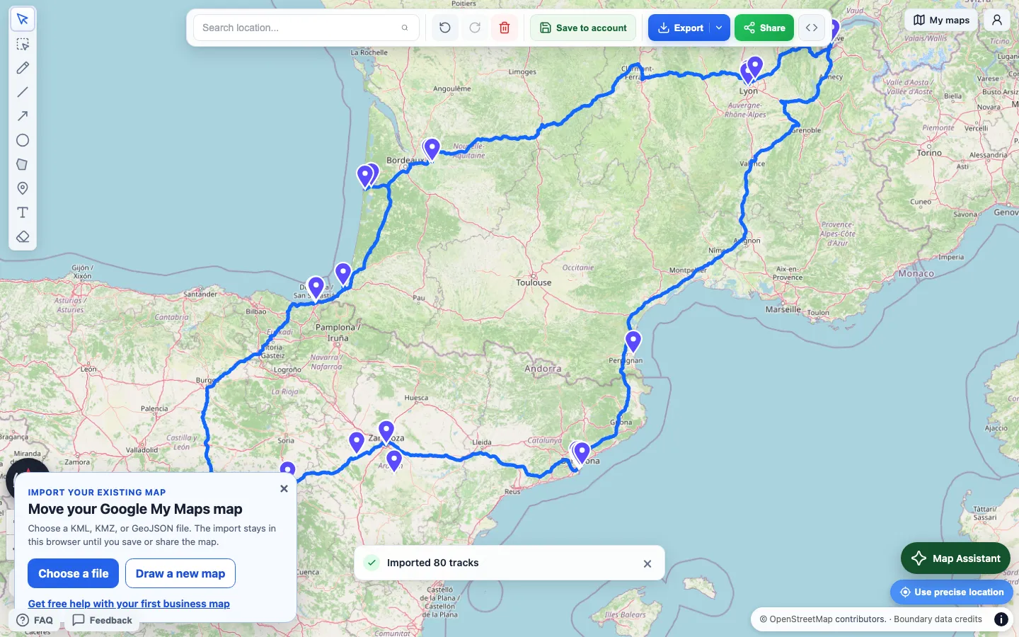
- In Google My Maps, on a computer, open the map’s menu next to its title and choose Export to KML/KMZ. See Google’s export guide.
- Select Import a KML or KMZ file below and choose the exported file.
- Check the imported features, then add arrows, labels, or notes.
What carries over
The importer keeps names, descriptions, custom fields, polygon holes, and altitude values. It also brings in custom icons, image overlays, and linked KML files. Folders are not kept as separate groups. The map is 2D, so 3D models and tours are skipped. After each import, a report lists anything that was skipped.
You can also import GeoJSON, GPX, CSV, TSV, XLSX, and shapefile ZIP files, up to 15 MB each. A shapefile ZIP needs matching .shp, .dbf, and .prj files. Add the .cpg file if your text uses a special encoding.
If the file does not import
Choose the exported KML or KMZ file, not a link, a screenshot, or a saved web page. If the file still cannot be read, export a fresh copy. For a very large map, export one layer at a time. Keep your Google My Maps original until you have checked the result.
If you are moving a business map and get stuck, email us for help with the first one.
What is free
Drawing, importing, and share links are free, with no account required. PNG and PDF downloads are also free, with a watermark. Pro removes the watermark and lets you invite collaborators to edit a saved map with you.
For a side-by-side look at accounts, editing with others, and cost, read Draw on a Map vs Google My Maps.
Related guides
- Share custom walking directions: the shortcut a routing app missed, drawn by hand
- Draw a circle with an exact radius: mark a delivery or search area
- Embed a map on your website: put the finished map on a page
 Scribble Maps
 Maptive