Make your map.
Make your point.
A Google My Maps alternative for the map you have in mind. Draw your route, highlight an area, and add instructions. Then send one link.
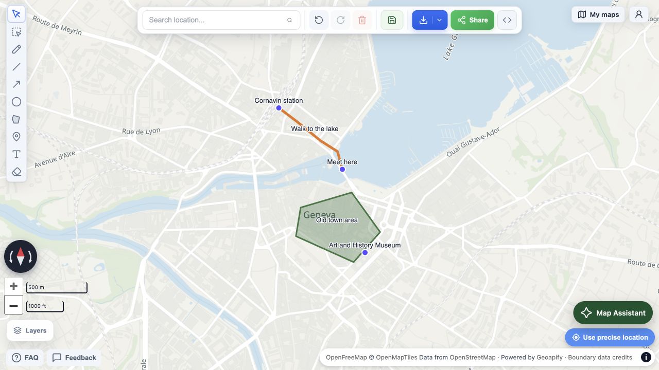
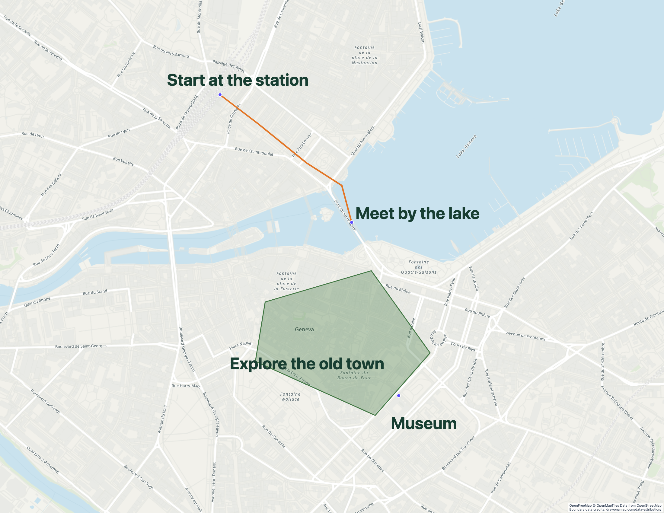
Real editor and image export. OpenFreeMap © OpenMapTiles. Data from OpenStreetMap. Powered by Geoapify.
Go beyond a pin
on a map.
A pin shows a place. Your drawing can show the whole plan. Give people a route to follow, an area to explore, or an instruction they can see at a glance.
Show the way you actually mean.
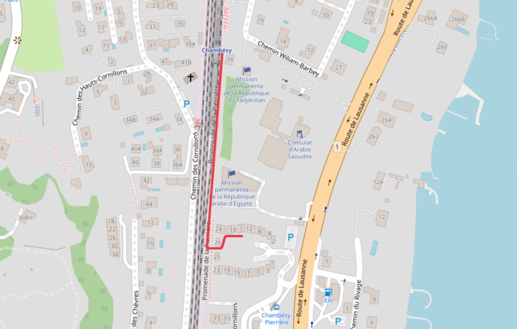
Mark the shortcut, the meeting point, or the entrance people always miss. Put the route and your instructions in the same place.
Draw your route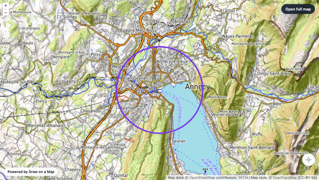
Make the boundary clear.
Highlight a neighbourhood, sketch an event area, or draw a circle around a place. Pick the colour and shape that explain your plan.
Draw an areaPut the explanation where it belongs.
Add text beside the places that matter. Your guests, customers, or team can see where to start, where to meet, and what to look for.
Make your own mapFrom an idea to
“here’s the map.”
Start with the place.
Open the map and search. You can draw and share without creating an account.
Make it yours.
Use lines, arrows, areas, and text. Choose colours that make the important parts stand out.
Send the plan.
Share a free link to a fixed copy of your map. Export a PNG or PDF when you need a file. Free downloads have a watermark.
Draw on a Map
vs Google My Maps.
The practical differences, before you switch. Drawing and standard link sharing are free. Sign in when you want to save a map or invite editors.
Start a map without an account?
 Draw on a MapOpen the editor and start drawing. No account needed.
 Google My MapsSign in to a Google account to create a map.
Put your message on the map?
Draw on a MapDraw lines, arrows, shapes, and text directly on the map.
Google My MapsAdd places, lines, shapes, and details in place cards.
Share a finished map?
Draw on a MapFree share links. PNG and PDF downloads are free with a watermark.
Google My MapsShare through Google, print, or export KML/KMZ data.
Move existing map data?
Draw on a MapImport KML, KMZ, GeoJSON, GPX, spreadsheets, or a shapefile ZIP.
Google My MapsImport supported map files and spreadsheets into layers.
Edit with other people?
Draw on a MapCollaborate in real time. Sign in, save your map, and invite editors.
Google My MapsShare editing access through Google. Maps live in Drive.
See the same file imported into both apps
We imported the Geneva sample into both apps. Both kept its three places, route, and area. We added the large text instructions to our map after import. Our finished-map image is an export; Google's image is an editor screenshot.
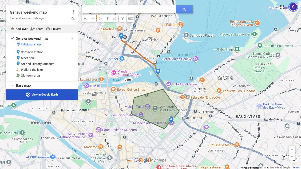
Download the Geneva KML file to check the import yourself. This is an illustrative map, not a checked walking route.